


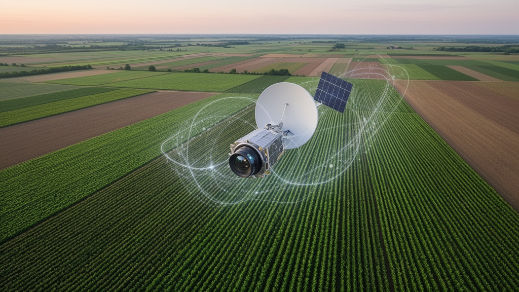
Every growing season begins with a race against time. Governments, insurers, and food-security agencies need to know what farmers are planting while the crops are still young, long before harvest statistics arrive. A new open-access study published in Discover Sustainability shows that this early intelligence can now be extracted directly from orbit with remarkable precision. Researchers led by Rajeev Ranjan Kumar of the ICAR-Indian Agricultural Statistics Research Institute in New Delhi, working with colleagues at institutions including the Indian Institute of Remote Sensing in Dehradun, combined radar and optical satellite time series with two ensemble machine learning algorithms to map crop types in Udham Singh Nagar district, Uttarakhand, India, during the earliest weeks of the growing season. Their best model, Gradient Boosted Trees, achieved an overall accuracy of 93 percent with a Kappa coefficient of 0.90, a level of agreement between classified maps and ground reality that approaches the ceiling of what remote sensing can deliver.
The core challenge the team attacked is one that has frustrated agricultural remote sensing for decades. Optical satellites such as Sentinel-2 capture rich spectral detail, but their view is blocked whenever clouds roll in, which is precisely when monsoon-influenced regions need data most. Synthetic Aperture Radar, carried aboard Sentinel-1, pierces clouds and darkness by measuring how microwave pulses bounce off plant canopies and soil, but radar alone cannot distinguish crops that share similar canopy structure. The study’s central insight is that these two sensors are complementary in a mathematically exploitable way. Radar supplies structural information through its VV and VH polarization channels, which record how microwave energy scatters from vertically oriented plant tissue, while optical imagery supplies spectral fingerprints through visible, red-edge, and shortwave infrared bands that respond to leaf pigment and water content. Fused together, the two time series describe each field from two independent physical perspectives simultaneously.
The researchers implemented their entire processing chain on the Google Earth Engine cloud platform, a choice that matters as much as the algorithms themselves. Google Earth Engine hosts the full Sentinel-1 and Sentinel-2 archives and allows multi-temporal analysis across entire districts without downloading petabytes of data to local servers. For the study region, the team assembled satellite acquisitions from November and December 2022, the early season window when winter crops such as wheat and mustard are establishing and sugarcane persists from the previous year. Working entirely in the cloud meant the workflow could be scaled to new regions and new seasons with minimal modification, a prerequisite for any system intended for near real-time national crop monitoring rather than one-off academic mapping exercises.
Ground truth is the backbone of any supervised classification, and the team invested heavily here. A total of 1,141 field samples were collected through surveys across the district, each sample anchoring a satellite pixel to a verified land cover or crop type. The classification scheme covered the major land cover and crop categories of the region, including wheat, mustard, sugarcane, forest, and water bodies. This sample density is substantial for district-scale mapping and allowed the ensemble models to learn the spectral and structural signatures of each class from a statistically meaningful number of examples rather than the sparse training sets that have limited many earlier crop classification studies.
Two ensemble machine learning algorithms formed the analytical heart of the study. Random Forest builds hundreds of decision trees on random subsets of the training data and features, then averages their votes, a strategy that suppresses overfitting and handles correlated spectral bands gracefully. Gradient Boosted Trees takes the opposite approach: trees are built sequentially, with each new tree trained to correct the residual errors of the ensemble built so far, which allows the model to concentrate on the hardest-to-separate field boundaries and class pairs. When the two models were evaluated on the combined SAR-optical dataset, Gradient Boosted Trees edged ahead with 93 percent overall accuracy and a Kappa of 0.90, while Random Forest also performed strongly. The comparison confirms what the machine learning literature has long suggested: for structured tabular remote sensing features, boosting-based ensembles can capture subtle class separations that bagging-based ensembles average away.
The fusion of sensors proved decisive. When either radar or optical data was used alone, classification performance dropped noticeably compared with the integrated approach, a result the authors attribute to the complementary nature of structural and spectral information. Wheat, forest, and water bodies were mapped with high precision, each earning an F1 score of at least 0.90, meaning the balance of precision and recall for these classes was excellent. Mustard and sugarcane proved harder. The study identifies spectral similarity between these crops and limited training data as the causes of their lower accuracy, a reminder that even the best fusion strategy cannot fully separate classes whose satellite signatures overlap or whose field examples are too few for the models to learn a stable decision boundary.
One of the most technically revealing components of the study is the feature importance analysis, which interrogates the trained models to determine which input variables carried the most classification power. The analysis identified late-season SAR measurements in the VV and VH polarization channels and optical measurements in the red-edge and shortwave infrared bands as the most influential variables. This finding has direct physical logic. Late in the establishment phase, crop canopies differ most in structure, which radar polarization captures, and in leaf and water chemistry, which red-edge and SWIR bands probe. The result gives remote sensing practitioners a concrete recipe: if acquisition opportunities are limited, prioritize late-season radar and red-edge plus SWIR optical observations, because those are the measurements that do the heavy lifting in separating crop types.
The implications extend well beyond one district in Uttarakhand. Timely and reliable crop type mapping is foundational for sustainable agricultural management and food security, and India’s agricultural sector generates enormous policy demand for exactly this kind of data. Early-season maps allow governments to forecast production, target input subsidies, plan procurement, and respond to crop stress while interventions are still possible. The authors frame their approach as a robust and scalable framework for near real-time crop monitoring, offering valuable insights for precision agriculture and supporting data-driven policy planning. Because the workflow runs on a free cloud platform using freely available European satellite data, the barrier to adoption is low even for resource-constrained agricultural agencies in developing economies.
The study also exposes the current limits of the technique honestly. Classes with overlapping signatures and thin training sets remain the weak point, and the authors note that expanding ground truth collection for spectrally similar crops like mustard and sugarcane would be the clearest path to improvement. The field of agricultural remote sensing is converging on this multi-sensor, cloud-computing, ensemble-learning paradigm, and this study demonstrates that the convergence is already producing operational-grade accuracy in the critical early season window. As Sentinel-1 and Sentinel-2 continue their uninterrupted global acquisitions, the fusion of radar structure and optical chemistry, distilled through gradient boosting, may soon become the default way the world counts its crops.
Subject of Research: Improving early season crop type mapping using machine learning algorithms with combined SAR and optical time series
Article Title: Improving early season crop type mapping using machine learning algorithms with combined SAR and optical time series
Article References: Improving early season crop type mapping using machine learning algorithms with combined SAR and optical time series. (n.d.). https://doi.org/10.1007/s43621-026-04839-6
Image Credits: AI Generated
DOI: 10.1007/s43621-026-04839-6
Keywords: Improving, early, season, crop, type, mapping, machine, learning, algorithms, combined, optical, time
Cite Scienmag News
Alan Morgan. (October 16, 2026). Radar and Optical Satellites Combined With Machine Learning Deliver 93% Accurate Early-Season Crop Maps. Scienmag. https://scienmag.com/radar-and-optical-satellites-combined-with-machine-learning-deliver-93-accurate-early-season-crop-maps/
Alan Morgan. "Radar and Optical Satellites Combined With Machine Learning Deliver 93% Accurate Early-Season Crop Maps." Scienmag, 16 October 2026, https://scienmag.com/radar-and-optical-satellites-combined-with-machine-learning-deliver-93-accurate-early-season-crop-maps/. Accessed 16 October 2026.
Alan Morgan. "Radar and Optical Satellites Combined With Machine Learning Deliver 93% Accurate Early-Season Crop Maps." Scienmag. October 16, 2026. https://scienmag.com/radar-and-optical-satellites-combined-with-machine-learning-deliver-93-accurate-early-season-crop-maps/


