


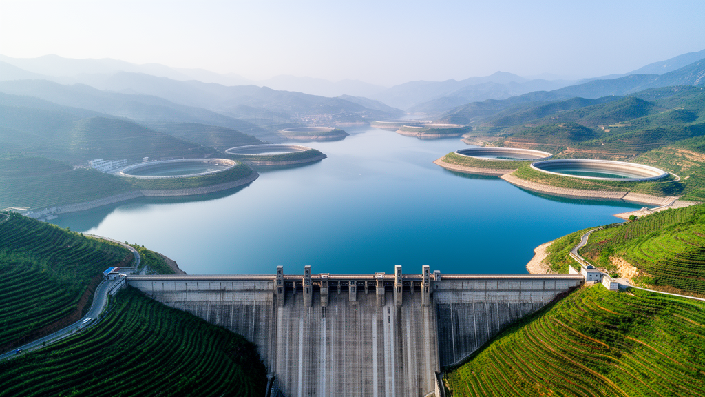
China has quietly assembled the largest network of dams and reservoirs on the planet, an engineering constellation that stores river water, generates electricity, irrigates farmland, and reshapes regional climates. Yet for all its scale, the system has remained surprisingly opaque to science. Global datasets that researchers rely on to model water resources and environmental change have captured the outlines of China’s reservoirs but almost none of their substance. A team of researchers at Sun Yat-sen University in Zhuhai has now moved to close that gap with the China Reservoir Attribute Database, or CRAD, a publicly available compilation that documents 5,142 reservoirs across the country with more than twenty attributes each. The work, released as a preprint under review for the journal Earth System Science Data, promises to transform how hydrologists, climate modelers, and energy planners represent one of the most heavily engineered landscapes on Earth.
The problem the database addresses is deceptively simple to state and difficult to solve. Existing global and regional dam inventories can tell you roughly where a reservoir is and how big its impoundment might be, but they often lack the basic numbers that models need to function: when the dam was completed, how tall and how long it is, how much water it can store, what catchment feeds it, whether it was built for flood control, irrigation, hydropower, or some combination of purposes, how many megawatts of generating capacity it hosts, and how many hectares of farmland it irrigates. Without those attributes, simulations of streamflow, evaporation, irrigation demand, and reservoir regulation degenerate into guesswork. In China’s case, the authors note, this attribute deficit has severely constrained robust assessments of reservoir functions and their broader resource and environmental consequences, even as the country’s reservoir system grew to world-leading size.
Building CRAD required an unusually eclectic form of scientific detective work. The team integrated existing global and regional databases as a spatial and structural foundation, then mined attribute information from an array of sources that most researchers rarely touch in combination: government documents, materials published by enterprises and professional associations, academic publications, online encyclopedias, and other web-based resources. Each reservoir’s record was assembled piece by piece, with conflicting values resolved through a source-prioritized integration scheme in which more authoritative documents outrank less formal ones. Spatial deduplication ensured that the same physical reservoir appearing in multiple inventories was counted once rather than several times, a chronic problem in merged datasets. Finally, the compilation passed through multilevel quality control designed to catch transcription errors, unit inconsistencies, and implausible values before they could contaminate the finished product.
The result is a dataset whose coverage statistics stand out sharply against the incumbent global standard. CRAD captures 87.5 percent of China’s total reservoir storage capacity and 62.0 percent of its installed hydropower capacity, a substantial advance over Global Dam Watch, currently the most attribute-complete global dam and reservoir database. The more than twenty attributes compiled for each of the 5,142 reservoirs include geographic location, completion year, dam length and height, reservoir surface area, storage capacity, catchment area, construction purpose, hydropower capacity, and irrigated area. That combination of breadth and depth means that for the first time, a modeler can ask not just where China’s reservoirs are, but what each one does, how large its footprint is, and how it behaves as an engineered component of the water cycle.
The practical payoff of those attributes shows up most dramatically in agriculture. Reservoir-served irrigation is one of the hardest things to detect from global data, because the canals and command areas that link an impoundment to the fields it waters rarely appear in satellite imagery in a form algorithms can parse. Using CRAD’s irrigated-area attributes, the researchers identified 41.3 percent of China’s irrigated grid cells as potentially reservoir-served. The same exercise performed with Global Dam Watch flagged only 3.5 percent. The difference is not a rounding error; it is a more than tenfold change in how much of China’s irrigated agriculture can be traced to managed storage, with direct consequences for simulations of crop water use, soil moisture, evapotranspiration, and the feedbacks between irrigation and regional climate.
Streamflow simulation tells a similar story. When the team incorporated CRAD’s attributes into hydrological modeling, simulations improved at nearly 70 percent of the gauging stations evaluated. The reason is physical: reservoirs regulate rivers by storing water in wet seasons and releasing it in dry ones, and a model that knows a reservoir’s storage capacity, catchment area, and operating purpose can reproduce that regulation realistically. A model that lacks those numbers either ignores the reservoir entirely or represents it with crude defaults, producing hydrographs that miss the seasonal timing and magnitude of downstream flows. For water managers who depend on those simulations to plan allocations, forecast floods, or assess drought risk, the improvement is not academic. It changes the reliability of the tools they use.
The implications extend well beyond hydrology into climate science and energy systems. Reservoirs alter local and regional climates by changing surface albedo, moisture fluxes, and evaporation, and land surface models have long struggled to represent these effects because they lacked the attribute data to distinguish a large deep impoundment from a small shallow pond. CRAD’s dam heights, reservoir areas, and storage volumes give climate modelers the parameters they need to treat reservoirs as the dynamic water bodies they are. In the energy domain, the database’s hydropower capacity attributes, covering 62 percent of China’s installed capacity, provide a foundation for modeling how reservoir operations interact with electricity grids, particularly as variable wind and solar generation increases the demand for hydropower’s flexibility. Agricultural researchers, meanwhile, gain a defensible map of where irrigation depends on stored water, a question of growing urgency as competition for water intensifies across China’s river basins.
The release of CRAD also reflects a broader shift in how Earth system science handles data infrastructure. The database is publicly available through Zenodo, and the preprint is undergoing open discussion in Earth System Science Data, a journal that emphasizes reproducibility and data provenance. The authors, Hongbin Liang, Shulei Zhang, Omarjan Obulkasim, Qiancheng Ye, Linyi Song, Zhongwang Wei, and Yongjiu Dai, are all affiliated with the School of Atmospheric Sciences at Sun Yat-sen University, and their methodological choices, from source prioritization to multilevel quality control, are documented in enough detail that other research groups can audit, update, and extend the compilation. That transparency matters because reservoir databases decay: dams are built, decommissioned, and enlarged, and attribute values are revised as official records improve. A dataset designed to be maintained, rather than published once and forgotten, is worth considerably more than a static snapshot.
There are, of course, limits that users should keep in view. The database covers 5,142 reservoirs, which is a large number but not the full population of China’s impoundments; the country contains tens of thousands of small reservoirs, and the coverage figures, 87.5 percent of storage and 62 percent of hydropower capacity, imply that the cataloged facilities are disproportionately the large and strategically important ones. Attribute completeness varies from reservoir to reservoir, since the underlying sources differ in what they report, and values drawn from web-based encyclopedias will always carry a different evidentiary weight than values from government engineering records. The preprint’s publisher notes, in standard language, that it remains neutral with regard to jurisdictional claims in geographical representations, a reminder that spatial datasets in this domain carry cartographic as well as scientific responsibilities. None of these caveats undermines the central achievement, but they frame how the data should be used.
What makes CRAD genuinely significant is the way it converts a data scarcity problem into a modeling opportunity. For decades, the world’s most heavily dammed country has been a blind spot in global water and climate assessments, not because researchers ignored it but because the attribute layer beneath the reservoir outlines simply did not exist in usable form. With more than twenty attributes attached to 5,142 reservoirs, covering the overwhelming majority of China’s stored water and a substantial share of its hydropower, that layer now exists, and it is open to anyone. The demonstrations already published, the tenfold improvement in identifying reservoir-served irrigation and the streamflow gains at nearly 70 percent of gauging stations, suggest that the database will quickly become a standard input for anyone modeling China’s land surface, rivers, crops, or power system. In a warming century in which reservoir regulation will only grow more consequential, knowing precisely what the world’s largest reservoir system contains is no longer a luxury. It is baseline infrastructure for the science of the water cycle itself.
Subject of Research: A comprehensive attribute database of 5,142 Chinese reservoirs for hydrological, agricultural, climatic, and water resources modeling
Article Title: CRAD: A China Reservoir Attribute Database for Hydrological and Water Resources Applications
Article References: Liang, H., Zhang, S., Obulkasim, O., Ye, Q., Song, L., Wei, Z., & Dai, Y. (2026). CRAD: A China Reservoir Attribute Database for Hydrological and Water Resources Applications. https://doi.org/10.5194/essd-2026-694
Image Credits: AI Generated
Keywords: reservoirs, dams, China, hydrology, water resources, irrigation, hydropower, streamflow simulation, climate modeling, database, Earth System Science Data, Sun Yat-sen University
Cite Scienmag News
Violet Maxwell. (October 9, 2026). Massive New Database Catalogs China’s 5,142 Reservoirs in Unprecedented Detail. Scienmag. https://scienmag.com/massive-new-database-catalogs-chinas-5142-reservoirs-in-unprecedented-detail/
Violet Maxwell. "Massive New Database Catalogs China’s 5,142 Reservoirs in Unprecedented Detail." Scienmag, 9 October 2026, https://scienmag.com/massive-new-database-catalogs-chinas-5142-reservoirs-in-unprecedented-detail/. Accessed 9 October 2026.
Violet Maxwell. "Massive New Database Catalogs China’s 5,142 Reservoirs in Unprecedented Detail." Scienmag. October 9, 2026. https://scienmag.com/massive-new-database-catalogs-chinas-5142-reservoirs-in-unprecedented-detail/


