

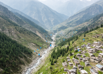
GIS Survey Maps 649 Springs in Two South Kashmir Districts
A GPS-based field survey and GIS analysis mapped 649 springs in South Kashmir’s Anantnag and Kulgam districts, providing a baseline ...
A GPS-based field survey and GIS analysis mapped 649 springs in South Kashmir’s Anantnag and Kulgam districts, providing a baseline ...

A 2001–2024 ERA5 reanalysis study found that precipitation, relative humidity and soil temperature jointly accounted for about 48% of monthly ...
A 36-member climate ensemble suggests French groundwater may become wetter in the north and drier in the south while 10-year ...
A new comparative study of the Ethiopian Highlands and South Africa's Drakensberg–uThukela region shows that the landscape itself can reveal ...
A randomized survey of 6,448 Japanese households found that explicitly naming Aso, the famous volcanic water source in Kyushu, did ...
A new two-step framework ranks Euro-Mediterranean offshore freshened groundwater sites by infrastructure and water stress, identifying the Northern Adriatic off ...
A free interactive web application distills a 20-member ensemble of global hydrological models into maps and percentile charts that reveal ...
A new attribution study finds that greenhouse gas forcing, not aerosols or natural variability, is amplifying the contrast between wet ...
The distinction between atmospheric drought and river-flow drought is more than a matter of terminology, because each stage of the ...
A new daily precipitation dataset for China merges satellite and gauge observations with a dual thin-plate spline method, achieving high ...

Embark on a thrilling journey of discovery with Scienmag.com—your ultimate source for cutting-edge breakthroughs. Immerse yourself in a world where curiosity knows no limits and tomorrow’s possibilities become today’s reality!