

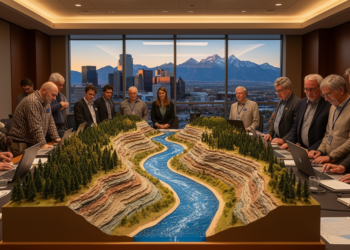
Riverscapes in Transition: Geoscientists Meet in Denver to Decode Water’s Future
At GSA Connects 2026 in Denver, geoscientists are exploring how floods, drought, and human modification are transforming rivers and the ...
At GSA Connects 2026 in Denver, geoscientists are exploring how floods, drought, and human modification are transforming rivers and the ...

New Virginia Tech research combining NASA GRACE satellite data with hydrologic estimates shows that the Colorado River Basin's Upper Basin, ...
A survey of 92 perennial springs in Ethiopia's Kulfo River basin shows that fault density is the strongest control on ...
A new analysis attributes six decades of declining summer rainfall over North China's Haihe River Basin to a feedback loop ...
Researchers have created a Normalized Cryospheric Index that combines ice storage and snow permanence to rank the Andean sub-watersheds that ...
An integrated satellite, GIS, and multi-criteria analysis has mapped groundwater potential across Bangladesh's largest inland wetland, revealing that only one ...
A study of the Yellow River South Bank Irrigation District used stable isotopes and hydrochemical modeling to show that groundwater ...
A new study shows that a simple conceptual hydrological model driven entirely by satellite and reanalysis data can outperform more ...
Researchers in China have built a physics-guided deep learning model that improves groundwater-level prediction in heavily pumped agricultural aquifers by ...
A 58-year analysis of 34 Iranian weather stations finds that sunshine hours, not maximum temperature, are the dominant driver of ...

Embark on a thrilling journey of discovery with Scienmag.com—your ultimate source for cutting-edge breakthroughs. Immerse yourself in a world where curiosity knows no limits and tomorrow’s possibilities become today’s reality!