

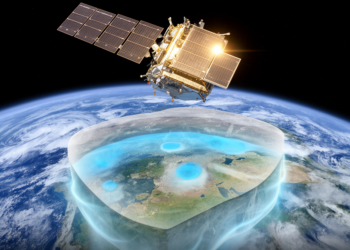
New Satellite Map Tracks Groundwater Storage Worldwide From Space
A new satellite-based data set tracks monthly groundwater storage variations worldwide from 2002 to 2023 by subtracting observed snow, soil ...
A new satellite-based data set tracks monthly groundwater storage variations worldwide from 2002 to 2023 by subtracting observed snow, soil ...
A new 12-year reanalysis dataset for Ise Bay, Japan, assimilates water-column observations including bottom-layer dissolved oxygen every six hours to ...
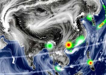
A physics-aware deep learning framework reconstructs a gapless, hourly tropospheric NO2 record over four Asian pollution hotspots from 2019 to ...
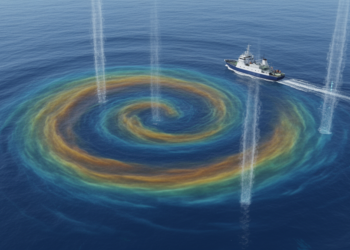
A new 29-year dataset collocates 5.46 million ocean temperature and salinity profiles with satellite-tracked mesoscale eddies, enabling global mapping of ...
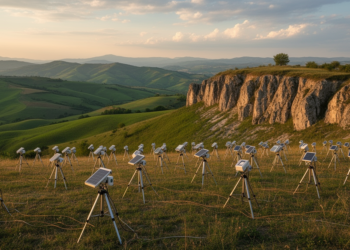
A one-year deployment of 200 seismic stations in 20 dense arrays across Italy's Irpinia fault system has produced a 5.2-terabyte ...
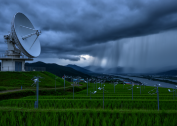
A nine-year merged radar–gauge precipitation dataset for South Korea delivers 10-minute, 500-meter rainfall estimates with near-zero bias across seasons and ...
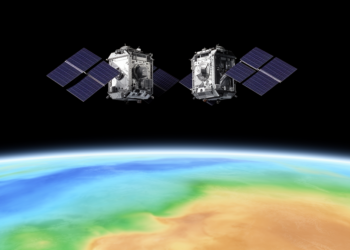
A new static gravity field model, HUST-Grace2026s, combines 23 years of GRACE and GRACE-FO satellite observations to map Earth's mass ...

A new ship-based dataset from two R/V METEOR expeditions captures rare in-situ and remote sensing measurements of Saharan dust crossing ...
A new 30-meter-resolution annual dataset shows China's forest trees rose from about 106 billion to 182 billion between 1985 and ...
Researchers have produced a twenty-year, high-accuracy satellite record of coastal water color for China and the United States by overhauling ...


Embark on a thrilling journey of discovery with Scienmag.com—your ultimate source for cutting-edge breakthroughs. Immerse yourself in a world where curiosity knows no limits and tomorrow’s possibilities become today’s reality!