

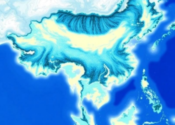
Satellite Team Rewrites 20 Years of Coastal Water Color Data for China and the US
Researchers have produced a twenty-year, high-accuracy satellite record of coastal water color for China and the United States by overhauling ...
Researchers have produced a twenty-year, high-accuracy satellite record of coastal water color for China and the United States by overhauling ...
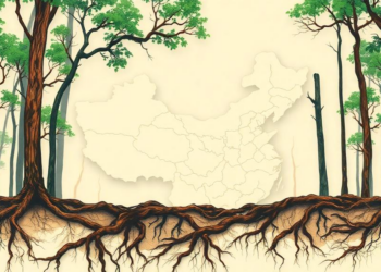
Scientists have built the first high-resolution map of fine root biomass across China, resolving root distribution layer by layer down ...
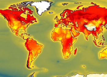
A new 43-year global database applies ten different marine heatwave definitions in parallel, revealing how methodological choices reshape our picture ...
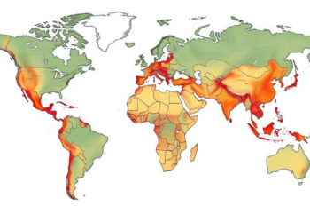
A new 5-arc-minute dataset quantifies how human-driven phosphorus inputs to land rose nearly elevenfold, from 3.8 to 41.0 teragrams per ...

A new openly available dataset validates and corrects more than a decade of Türkiye's official wildfire records using satellite detections ...
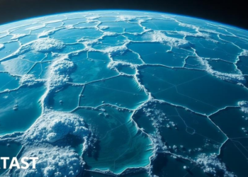
A new deep-learning dataset called PhyEddy-Net fuses satellite altimetry, vorticity, and sea surface temperature data to detect 36.7 million ocean ...
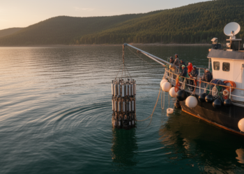
Scientists have released the densest water-level and wave dataset ever assembled for the St. Lawrence Estuary and Saguenay Fjord, built ...
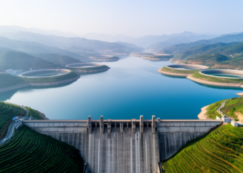
A new publicly available database compiles more than twenty attributes for 5,142 Chinese reservoirs, capturing 87.5 percent of the nation's ...

Researchers have used machine learning and global energy records to create the first worldwide dataset of the outdoor temperature thresholds ...
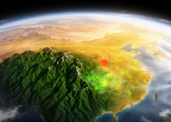
Researchers have built a rigorously verified dataset of 12,991 satellite-annotated samples documenting four decades of stable, disturbed and newly forested ...


Embark on a thrilling journey of discovery with Scienmag.com—your ultimate source for cutting-edge breakthroughs. Immerse yourself in a world where curiosity knows no limits and tomorrow’s possibilities become today’s reality!