


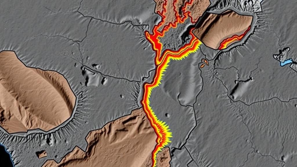
Deep beneath the rainforests of Centre-East Cameroon, an ancient and violent tectonic history is written in rock — and now, for the first time, scientists have read it from the air. A team of Cameroonian geophysicists has processed and modeled aeromagnetic data covering the Akonolinga-Nguinda area, revealing a dense network of buried faults, shear zones, and intrusions that record the colossal collision between the Congo Craton and the Pan-African Belt more than 600 million years ago. The study, published in Discover Geoscience, delivers a new structural map of the region and a quantitative picture of the crust down to four kilometers deep, offering a foundation for future mineral exploration in one of Central Africa’s most geologically complex terrains.
The research focuses on an area between longitudes 12°00’E and 12°30’E and latitudes 3°30’N and 4°30’N, drained by the Nyong River and underlain predominantly by gneisses, quartzites, schists, and micaschists cut by pegmatite and quartz veins. This sector sits along the northern margin of the Congo Craton, where it meets the Central African Fold Belt, and lies near two of the region’s most important structures: the Central Cameroon Shear Zone and the Sanaga Shear Zone. Previous work in southern Cameroon had highlighted faults sub-parallel to these mega-shears, but the relationships between the structures and the regional rock units needed updating — a gap the new study set out to close using modern filtering and modeling techniques applied to legacy airborne data.
That data itself has a remarkable pedigree. The aeromagnetic survey was flown in 1970 under a cooperative agreement between the governments of Canada and Cameroon, with north-south flight lines spaced a nominal 750 meters apart and a terrain clearance of 235 meters monitored by radar altimeter. Half a century later, the dataset remains a validated baseline for the region. The team processed it using Geosoft Oasis montaj software, first transforming the raw magnetic field into a Reduced-to-the-Equator (RTE) anomaly grid, which repositions anomalies so that their sources lie directly beneath the magnetic peaks regardless of the local inclination of the Earth’s field — a critical correction at low magnetic latitudes like Cameroon’s, where the field dips at roughly minus 17 degrees.
The RTE map revealed anomaly values ranging from minus 188.09 to plus 102.24 nanotesla and subdivided the study area into three southwest-northeast trending domains. The southern domain shows heterogeneous, high-frequency anomalies; the central domain is dominated by high-intensity anomalies that terminate abruptly along their northern edge; and the northern domain contains a sub-elliptical low along the Bana-Nguinda axis, bounded further north by a very strong positive anomaly. The sharpest lateral gradients — the telltale signatures of fault zones — cluster along the Akonolinga-Obis, Koundou-Loum, and Bana-Nguinda axes. A companion residual map reinforced the regional picture: high-amplitude blocks in the south reflect the shallowing of the rigid Archean Congo Craton basement, while alternating elongated highs and lows to the north trace the highly deformed metamorphic belts of the Pan-African Mobile Belt.
To sharpen this picture, the researchers deployed a battery of derivative filters, each with a distinct mathematical strength. The horizontal gradient magnitude (HGM), with amplitudes between 0.002 and 0.072 nanotesla per meter, enhanced geological contacts and zones of intense magnetic contrast, delineating both deep-seated and shallow faults. The first vertical derivative suppressed broad regional anomalies in favor of wave-like, high-frequency responses, confirming that the deeper regional signal is composed of many discrete structural units. The analytic signal, whose amplitude peaks symmetrically directly over the edges of magnetized bodies independent of magnetization direction, refined broad anomalies into linear and quasi-circular features with peaks reaching 0.101 nanotesla per meter — the circular ones pointing to plutonic intrusions of highly magnetized gneisses into the basement around Obis, Zoulou, Akonolinga, Bana, and Nguinda.
Perhaps the most elegant technique in the workflow was multi-scale edge detection. By mathematically elevating the observation plane upward in 500-meter steps from 1,000 to 5,000 meters, the team tracked how the local maxima of the horizontal gradient migrated with altitude. Structures whose maxima stack vertically across all levels are near-vertical; those whose maxima drift laterally in a consistent down-dip direction are oblique. The analysis revealed tight, vertically superposed maxima along the Akonolinga, Loum, Bibinda, and Zoulou axes, and systematically shifted configurations between Akonolinga, Koundou, Bana, and Alata, indicating obliquely dipping fault planes. Crucially, at shallow continuation levels the map captures the jagged geometry of the obducted Pan-African metamorphic nappes, while at 4,000 to 5,000 meters the peaks realign to trace the deep boundary of the cratonic basement underneath — separating massive transcurrent faults from shallow pull-apart structures and brittle fractures associated with late orogenic collapse.
Superimposing the maxima from the HGM, analytic signal, and tilt derivative onto a single map allowed the team to compile a definitive structural map containing 51 principal lineaments. Statistical analysis shows 20 of them trend northeast-southwest, 17 east-northeast-west-southwest, and 14 east-west, with subordinate north-south and northwest-southeast orientations — confirming the northeast-southwest grain as the dominant regional signature. Most lineaments dip steeply to vertically. The authors interpret the dominant ENE-WSW and NE-SW trends as the primary expression of the continental collision and subduction of the Congo Craton beneath the Pan-African Belt, subsequently overprinted by dextral strike-slip shearing, while the subordinate directions record later brittle reactivation. The mapped fault tracks align closely with the Sanaga and Central Cameroon Shear Zones and match published sheet geology of the Akonolinga and Ayos quadrangles, lending independent confidence to the geophysical interpretation.
The quantitative heart of the study lies in two 2.75-dimensional models along northwest-southeast profiles crossing the dominant anomalies. Profile P1, 66 kilometers long, resolves four units: a schist layer from the surface to about 1.2 kilometers depth with a susceptibility of 0.026 SI, micaschists between 0.1 and 1.8 kilometers thick, gneiss at 1.2 to 2.7 kilometers, and a basal granulite basement with a higher susceptibility of 0.035 SI, plus two steep quartzite intrusions. Profile P2, spanning 82 kilometers from Alata to south of Obis, adds an unsorted metasedimentary cover and resolves a pegmatite body at 1.1 to 2.0 kilometers depth and a quartzite body at 2.0 to 3.0 kilometers. The fits between observed and calculated magnetic curves are exceptionally tight, with normalized errors between 0.081 and 0.26 percent — far below the one percent threshold generally considered a sound fit in potential-field geophysics. The modeled depths and susceptibilities also agree closely with earlier gravity-based estimates of about 4,148 meters and 0.041 SI for buried high-susceptibility bodies in the region.
Together, the results portray a crust that has endured intense, polyphase tectonic deformation: subduction, terrane accretion, continental collision during the Pan-African orogeny around 620 million years ago, and later strike-slip shearing and brittle fracturing. The metamorphic stratigraphy — schists, micaschists, gneisses, and granulites intruded by pegmatite and quartz veins emplaced along active fault zones — matches the known geology of the Yaoundé Group and Bafia Group, whose metasediments were thrust onto the Congo Craton between roughly 616 and 590 million years ago. Beyond its geodynamic significance, the work has practical weight: structurally controlled shear networks are known to focus mineralizing fluids, so high-resolution lineament maps like this one are indispensable for identifying exploration targets in tropical terrains where thick soils hide the bedrock from direct observation.
The authors are candid about the limits of the method. All potential-field interpretations suffer from inherent mathematical non-uniqueness — multiple subsurface configurations can produce the same magnetic signal — and the structural models here would benefit from validation through core petrophysical sampling, high-resolution gravity surveys, or exploratory boreholes. Still, by combining derivative filtering, which provides two-dimensional delineation of structural tracks, with 2.75D modeling, which yields quantitative depths and geometries, the study delivers an updated geophysical framework for a poorly constrained sector of southern Cameroon. It demonstrates how fifty-year-old airborne data, reprocessed with modern tools, can still rewrite the map of a continent’s deep interior — and guide the next generation of mineral hunts across Central Africa.
Subject of Research: Aeromagnetic data enhancement and 2.75D modeling to map the structural and lithological architecture of the Akonolinga-Nguinda area in Centre-East Cameroon
Article Title: Enhancement and modeling of aeromagnetic data of Akonolinga-Nguinda area, Centre-East Cameroon
Article References: Enhancement and modeling of aeromagnetic data of Akonolinga-Nguinda area, Centre-East Cameroon. (n.d.). https://doi.org/10.1007/s44288-026-00648-6
Image Credits: AI Generated
DOI: 10.1007/s44288-026-00648-6
Keywords: aeromagnetic data, Congo Craton, Pan-African Belt, Cameroon, lineament mapping, 2.75D modeling, reduced-to-the-equator, analytic signal, horizontal gradient, shear zones, structural geology, mineral exploration
Cite Scienmag News
Violet Maxwell. (October 8, 2026). Hidden Faults Beneath Cameroon: Aeromagnetic Survey Maps a Fractured Crust. Scienmag. https://scienmag.com/hidden-faults-beneath-cameroon-aeromagnetic-survey-maps-a-fractured-crust/
Violet Maxwell. "Hidden Faults Beneath Cameroon: Aeromagnetic Survey Maps a Fractured Crust." Scienmag, 8 October 2026, https://scienmag.com/hidden-faults-beneath-cameroon-aeromagnetic-survey-maps-a-fractured-crust/. Accessed 8 October 2026.
Violet Maxwell. "Hidden Faults Beneath Cameroon: Aeromagnetic Survey Maps a Fractured Crust." Scienmag. October 8, 2026. https://scienmag.com/hidden-faults-beneath-cameroon-aeromagnetic-survey-maps-a-fractured-crust/


