

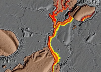
Hidden Faults Beneath Cameroon: Aeromagnetic Survey Maps a Fractured Crust
New processing of aeromagnetic data from the Akonolinga-Nguinda area of Centre-East Cameroon has mapped 51 buried lineaments and a 4-kilometer-deep ...
New processing of aeromagnetic data from the Akonolinga-Nguinda area of Centre-East Cameroon has mapped 51 buried lineaments and a 4-kilometer-deep ...

An integrated aeromagnetic study of Nigeria's Igarra Schist Belt has mapped buried faults and shear zones that align with active ...
A new study combines neural network analysis of aeromagnetic derivatives with 3D magnetic inversion to map hidden fault corridors and ...
A basin-wide aeromagnetic re-evaluation of Nigeria's Bornu Basin has revealed six buried sub-basins, two of which, with sediments up to ...
A self-supervised Vision Transformer framework that fuses multi-scale geological maps with aeromagnetic data has substantially outperformed conventional methods in mapping ...

Embark on a thrilling journey of discovery with Scienmag.com—your ultimate source for cutting-edge breakthroughs. Immerse yourself in a world where curiosity knows no limits and tomorrow’s possibilities become today’s reality!