


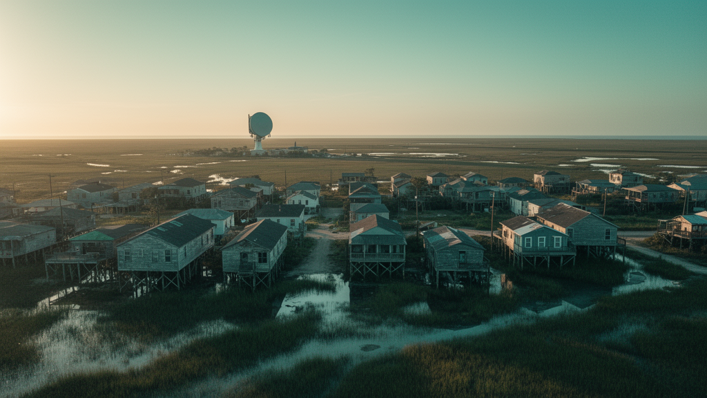
A fierce scientific dispute over whether satellite radar can reliably measure the slow sinking of the U.S. Gulf Coast has ended, at least for now, with a emphatic defense of the technology. In a comment paper published in the journal Earth Observation, a team led by Manoochehr Shirzaei of Virginia Tech argues that a recent critique of satellite-derived subsidence maps rests on methodological missteps rather than any genuine failure of the underlying measurements. The stakes could hardly be higher: coastal cities from Houston to New Orleans are subsiding at rates that compound rising seas, and planners increasingly depend on fine-grained subsidence maps to decide where levees, pumping stations, and evacuation routes should go. If the radar technique known as InSAR were truly blind to sinking rates below five millimeters per year, as the original critique claimed, a vast body of policy-relevant mapping would suddenly be in doubt.
The controversy began when Li and colleagues compared two published InSAR datasets covering the central Gulf Coast, one produced by Ohenhen and colleagues in 2024 and another by Wang and colleagues, also in 2024. Both datasets reported broadly similar regional averages of land motion, yet when Li’s team compared them pixel by pixel outside urban areas, the spatial correlation collapsed to a coefficient of determination of just 0.05, essentially no agreement at all. From this, the authors concluded that InSAR is unreliable in vegetated coastal settings for rates below five millimeters per year, and they recommended that such satellite-derived velocities be interpreted with utmost caution in regions lacking dense ground-truth networks. Taken at face value, that verdict threatened to sideline radar mapping precisely where it is most needed: the marshy, rapidly deforming coastal lowlands.
Shirzaei’s team does not dispute that reproducibility matters, and they endorse the call for harmonized processing frameworks and systematic cross-validation. But they contend that the apparent disagreement between the two datasets can be traced almost entirely to how the comparison was constructed. The first and most consequential problem, they argue, is a temporal one that the original paper never acknowledged. The two products were built from non-overlapping observational windows: the Ohenhen dataset spans 2007 to 2020, combining C-band Sentinel-1 radar with L-band ALOS observations and Global Navigation Satellite System data in a joint stochastic inversion, while the Wang dataset covers only 2017 to 2020 using Sentinel-1 alone. In a landscape where subsidence rates are known to change over time, comparing products from different epochs is not a like-for-like test.
The Virginia Tech group quantified just how much that epoch mismatch matters. When each radar product is validated against GNSS measurements over its own observational window, performance is strong; when validated against the mismatched window, residual standard deviations inflate by roughly 19 to 22 percent. In other words, a meaningful share of the reported disagreement between the two satellite products simply reflects the fact that they were watching the ground during different years, not that either instrument was failing. The comment paper presents this as a reductio ad absurdum of the original critique’s logic: if inter-product spread defines a caution threshold, then the threshold itself is an artifact of methodology, not a property of the Earth.
The second major concern involves spatial resolution. Li’s team resampled the Ohenhen dataset from its native 50-meter pixel spacing to a one-kilometer grid to match the coarser Wang product, computing median values within a 500-meter search radius around each coarse pixel. That aggregation, Shirzaei’s team calculates, represents a roughly 400-fold reduction in spatial information density, discarding exactly the sub-kilometer structure that the fine-scale dataset was designed to resolve, including localized signals from differential sediment compaction, fault-zone deformation, and fluid extraction. The original authors justified the resampling by noting that different search radii produced only minor differences, but the commenters counter that this merely shows the averaging had already erased the fine-scale variability at the smallest radius tested. Until the comparison is repeated at native resolution, they argue, the headline correlation of 0.05 cannot be attributed to radar incoherence in vegetated landscapes rather than to the resampling itself.
The validation strategy also drew sharp criticism. Li’s team progressively filtered a pool of 110 candidate GNSS stations down to roughly 20 usable sites, excluding Holocene-deposit locations, all Texas stations, and sites near active fluid extraction wells. The surviving network was concentrated in Pleistocene upland settings, by design the most stable and geologically quiet parts of the coast. But that is precisely the problem, the commenters argue: demonstrating that radar disagrees with GNSS at stable upland sites says little about performance in the Holocene coastal lowlands, where subsidence is fastest, vegetation is densest, and the datasets are actually meant to be used. By contrast, the original Ohenhen validation employed 157 GNSS stations spanning the full range of Gulf Coast environments and yielded a residual standard deviation of just 1.5 millimeters per year.
To settle the question independently, Shirzaei’s team assembled their own benchmark: daily vertical displacement time series from 88 GNSS stations of the Nevada Geodetic Laboratory within the same study domain, processed to remove offsets, outliers, and common-mode errors. Validating the Ohenhen dataset at its native 50-meter resolution against this network produced a residual standard deviation of 1.6 millimeters per year with a mean residual of only minus 0.1 millimeters per year, closely consistent with the original published uncertainty. The Wang dataset, evaluated over its own window and resolution, achieved a residual standard deviation of 2.3 millimeters per year. Both products, in short, perform robustly when tested on their own terms, in direct contrast to the characterization offered by the original critique.
The comment paper then turns the original critique’s own logic against itself. The five-millimeter-per-year caution threshold was derived from the 95th percentile of absolute differences between the two radar products in urban areas, then extrapolated to vegetated settings where noise is known to be worse. But applying the same reasoning to a GNSS-versus-GNSS comparison across the two observational windows yields an equivalent threshold of 3.7 millimeters per year, below which the original paper’s own glacial isostatic adjustment estimate of minus 1.2 millimeters per year falls unambiguously. By the critique’s own standard, its own benchmark measurement would be untrustworthy. The commenters also note an internal contradiction: the paper anchors its analysis on a GNSS rate of minus 1.2 millimeters per year while simultaneously declaring satellite rates in that range unresolvable, without explaining why one instrument is exempt from the caution it imposes on the other.
Beyond the specific dispute, the comment paper offers a broader set of best practices for validating geodetic deformation products, distinguishing validation against independent ground truth from mere benchmarking between products, insisting on native-resolution evaluation, demanding spatially representative validation networks, separating accuracy from precision, and requiring per-pixel uncertainty to be propagated from interferometric phase variance through every processing step rather than estimated after the fact. They also outline a statistical framework, from Bland-Altman agreement analysis to spatial autocorrelation tests, designed to prevent comparison artifacts from being mistaken for product deficiencies. The editorial board of Earth Observation highlighted the exchange as an important moment for the entire vertical land motion community.
The bottom line for coastal communities is reassuring: when evaluated at native resolution, over its own observational window, and against a geographically representative ground-truth network, satellite radar mapping of coastal subsidence performs robustly at the millimeter-per-year level. The apparent crisis of reproducibility documented in the original critique was, in substantial part, a consequence of the comparison’s construction rather than of the measurements themselves. As sea levels rise and Gulf Coast cities sink, the researchers argue, the wiser investment is in rigorous intercomparison infrastructure, matched epochs, matched resolutions, and principled uncertainty analysis, rather than blanket caution thresholds that risk discounting valid, policy-relevant datasets on the basis of a flawed test.
Subject of Research: Validation of InSAR-derived surface-elevation change rates along the central U.S. Gulf Coast
Article Title: Comment on: “Evaluating InSAR-derived rates of surface-elevation change along the central U.S. Gulf Coast” by Li et al. (2026)
Article References: Shirzaei, M., Ohenhen, L., Atkins, C., Dasho, O., Sadhasivam, N., Kamaraj, N. P., Onyike, F., Olorunsaye, O., Oyedele, E. O., & Werth, S. (2026). Comment on: “Evaluating InSAR-derived rates of surface-elevation change along the central U.S. Gulf Coast” by Li et al. (2026). Earth Observation, 1(1), 145-154. https://doi.org/10.5194/eo-1-145-2026
Image Credits: AI Generated
Keywords: InSAR, land subsidence, Gulf Coast, GNSS, satellite radar, sea-level rise, vertical land motion, coastal monitoring, geodesy, validation methods, Sentinel-1, uncertainty quantification
Cite Scienmag News
Violet Maxwell. (October 8, 2026). Satellite Radar Verdict Overturned: Gulf Coast Sinking Maps Survive Scathing Audit. Scienmag. https://scienmag.com/satellite-radar-verdict-overturned-gulf-coast-sinking-maps-survive-scathing-audit/
Violet Maxwell. "Satellite Radar Verdict Overturned: Gulf Coast Sinking Maps Survive Scathing Audit." Scienmag, 8 October 2026, https://scienmag.com/satellite-radar-verdict-overturned-gulf-coast-sinking-maps-survive-scathing-audit/. Accessed 8 October 2026.
Violet Maxwell. "Satellite Radar Verdict Overturned: Gulf Coast Sinking Maps Survive Scathing Audit." Scienmag. October 8, 2026. https://scienmag.com/satellite-radar-verdict-overturned-gulf-coast-sinking-maps-survive-scathing-audit/


