


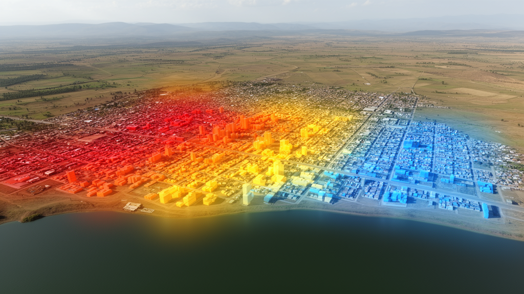
A geospatial study of Bahir Dar City, Ethiopia, found that built-up land expanded from 350.4 hectares in 1992 to 5,027.9 hectares in 2022, while agricultural land declined considerably. The authors combined Landsat imagery from 1992, 2007, and 2022 with land-surface-temperature analysis and models that projected possible land-cover and thermal conditions in 2035. Across the analyzed landscape, expanding built-up surfaces were generally associated with higher land surface temperatures, whereas vegetation was associated with a cooling influence.
The research examined land use and land cover, abbreviated LULC, and land surface temperature, abbreviated LST, across Bahir Dar City. The team used the Normalized Difference Vegetation Index, Normalized Difference Built-up Index, and Normalized Difference Water Index to characterize surface properties and investigate their relationships with temperature. LULC mapping was performed through supervised object-based image analysis.
The researchers assessed the classification results with a confusion matrix, allowing the accuracy of the mapped land-cover classes to be evaluated. For the 2035 estimates, the study combined Markov Chain, Cellular Automata, and Artificial Neural Network approaches implemented through the MOLUSCE plugin in QGIS. These modeling methods generated projections of future LULC and LST patterns.
The resulting scenario indicated continued urban expansion and a potential increase in surface thermal conditions if recent land-use trends persisted. These are model-based projections rather than measurements from 2035, so they represent a conditional estimate of possible future conditions rather than an observed outcome. The study provides a citywide geospatial view of simultaneous changes in urban development, vegetation, and surface temperature.
Its results show associations between land cover and LST, but they do not isolate how much of the temperature variation was caused by any single LULC class. The supplied findings also do not give the exact area of agricultural land in each analyzed year, and the projections depend on the assumption that recent trends continue.
Subject of Research: Geospatial modeling of land-cover change and land surface temperature in Bahir Dar, Ethiopia
Article Title: Geospatial analysis of LULC change, future prediction, and its impact on LST in Bahir Dar City, Ethiopia
Article References: Fetene, T. A., & Kidanemariam, A. M. (2026). Geospatial analysis of LULC change, future prediction, and its impact on LST in Bahir Dar City, Ethiopia. Discover Sustainability. https://doi.org/10.1007/s43621-026-04719-z
Image Credits: AI Generated
DOI: 10.1007/s43621-026-04719-z
Keywords: Bahir Dar, urban expansion, land surface temperature, land-cover change, Landsat imagery, geospatial analysis, Markov chain, cellular automata, artificial neural networks, Ethiopia, Geospatial, analysis
Cite Scienmag News
Violet Maxwell. (October 22, 2026). Geospatial models map urban growth and thermal conditions in Bahir Dar. Scienmag. https://scienmag.com/geospatial-models-map-urban-growth-and-thermal-conditions-in-bahir-dar/
Violet Maxwell. "Geospatial models map urban growth and thermal conditions in Bahir Dar." Scienmag, 22 October 2026, https://scienmag.com/geospatial-models-map-urban-growth-and-thermal-conditions-in-bahir-dar/. Accessed 22 October 2026.
Violet Maxwell. "Geospatial models map urban growth and thermal conditions in Bahir Dar." Scienmag. October 22, 2026. https://scienmag.com/geospatial-models-map-urban-growth-and-thermal-conditions-in-bahir-dar/


