


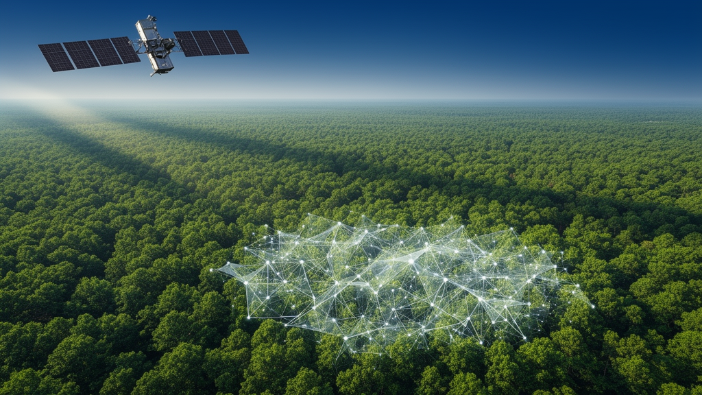
How much carbon is stored in the world’s forests? It sounds like a simple question, but it is one of the most consequential—and stubbornly difficult—measurements in climate science. Every national pledge to halt deforestation, every carbon credit traded on voluntary markets, and every greenhouse gas inventory submitted under international agreements ultimately rests on estimates of forest biomass. Now, a sweeping systematic review published in PLOS Climate has taken stock of how scientists actually make those estimates, and the picture that emerges is one of rapid technological transformation shadowed by persistent, and sometimes underappreciated, uncertainty.
The review, led by Annissa Muhammed Ahmedin, followed the Preferred Reporting Items for Systematic Reviews and Meta-Analyses framework, the rigorous protocol that has become the gold standard for synthesizing scientific evidence. From an initial search, the team distilled 147 peer-reviewed studies published between 2000 and 2025, spanning a quarter century of methodological evolution. The studies covered the full spectrum of approaches used today: direct field measurements, allometric modelling, satellite and airborne remote sensing, machine learning, carbon stock models, and increasingly, integrated frameworks that combine several of these techniques at once. By treating these studies as a single body of evidence rather than isolated reports, the review offers something rare—a bird’s-eye view of an entire measurement discipline.
At the foundation of everything lies the humblest method: walking into a forest with measuring tapes and measuring the trees. Field inventories remain the bedrock of biomass science. Teams of surveyors record trunk diameters, estimate tree heights, and identify species, then convert those measurements into biomass using allometric equations—mathematical relationships, often derived from felled and weighed trees, that link easily measured dimensions to total mass. These ground-based datasets are the only source of truly direct biomass information, and the review is emphatic on this point: field measurements and locally calibrated allometric equations remain indispensable for developing and validating every other method. Without trees that have actually been cut down, weighed, and analyzed, there would be no way to check whether a satellite algorithm or a machine learning model is telling the truth.
But field inventories have an obvious limitation: they are slow, labor-intensive, and expensive, and they sample only tiny fractions of forest landscapes. A single field plot might cover a fraction of a hectare, while a national forest estate spans millions. This is where remote sensing enters the story, and where the review documents a decisive shift. Over the past two decades, the field has moved decisively away from purely conventional inventories toward multi-source approaches that fuse ground observations with optical satellite imagery, radar, and Light Detection and Ranging technology, known as LiDAR. Each of these technologies reads the forest differently. Optical sensors capture reflected sunlight and can detect changes in vegetation cover, though they struggle with clouds and dense canopies. Radar penetrates cloud cover and responds to the woody structure of forests, making it valuable in perpetually cloudy tropical regions. LiDAR, whether flown from aircraft or carried by satellites, fires laser pulses that partially penetrate the canopy and return three-dimensional profiles of forest structure—arguably the closest a remote instrument comes to directly measuring biomass.
The third pillar of the modern approach is artificial intelligence. Machine learning algorithms, trained on combinations of satellite data and field plots, can learn complex, nonlinear relationships between what sensors observe from above and what surveyors measure on the ground. The review found that these techniques have substantially enhanced spatial coverage and predictive capability, allowing researchers to extrapolate from sparse field data across entire continents. Deep learning architectures can ingest stacks of imagery from multiple sensors and produce wall-to-wall biomass maps at resolutions that would have been unimaginable when the review’s earliest studies were published in 2000. The transition the authors describe is not a replacement of old methods by new ones, but a layering: artificial intelligence and remote sensing built on top of, and continuously anchored by, ground truth.
Yet the review’s most sobering finding concerns the limits of all this technology. Estimation accuracy, the authors conclude, remains strongly influenced by vegetation structure, environmental conditions, data quality, and model transferability. Dense tropical forests with towering, structurally complex canopies are notoriously hard to measure from space because sensors saturate—once biomass passes a certain threshold, the signal from above stops increasing, no matter how much carbon the forest actually holds. Open woodlands and savannas present different problems, with sparse trees and bright soil backgrounds confusing optical algorithms. Terrain matters too: steep slopes distort radar and LiDAR returns. A model trained in one forest type often performs poorly when transferred to another, a problem the review identifies as a central challenge for global carbon accounting.
Uncertainty compounds at every step of the estimation chain. A field plot measurement carries its own error; the allometric equation used to convert diameters to biomass carries another; the model linking field plots to satellite pixels adds more; and the process of scaling from pixels to landscapes and nations adds yet another layer. These errors do not simply average out—they can accumulate, and different studies handle them in strikingly different ways, making results difficult to compare. The review emphasizes that no single approach is universally optimal across all ecosystem conditions, a conclusion that cuts against the appeal of one-size-fits-all carbon mapping products. What works in boreal Canada may fail in the Congo Basin, and what succeeds in temperate plantations may stumble in mangroves.
The practical stakes of these methodological choices are enormous. Countries reporting forest carbon under international climate frameworks must produce numbers that are accurate, consistent, and defensible, because those numbers determine everything from national emissions accounts to the financial value of forest conservation programs. Carbon markets, which channel billions of dollars toward projects that claim to avoid deforestation or restore degraded land, depend on biomass estimates to calculate credits. Overestimates can inflate the climate benefits of a project; underestimates can discourage investment in genuinely valuable conservation. The review’s message is that reliable assessments require integrated frameworks that balance accuracy, scalability, cost, and uncertainty through the complementary use of field observations, remote sensing, and advanced modelling—rather than relying on any single source of evidence.
Looking forward, the authors identify three priorities. First, the world needs more biomass reference datasets in underrepresented regions. The field plots and destructively harvested trees that anchor allometric equations are heavily concentrated in North America and Europe, while tropical forests—the planet’s most carbon-dense ecosystems—remain comparatively undersampled. Every new allometric equation calibrated from local trees in Africa, Southeast Asia, or Amazonia ripples outward, improving estimates far beyond the plot where it was derived. Second, model validation and uncertainty quantification need strengthening, so that biomass maps come with honest error bars rather than deceptively precise single numbers. Third, the field should develop transparent, ecosystem-specific estimation frameworks—methods tailored to particular forest types, with documented assumptions that other scientists can scrutinize and reproduce.
The review arrives at a moment when the demand for forest carbon data is accelerating. As governments tighten reporting requirements and carbon markets come under scrutiny for the integrity of their credits, the science of weighing forests remotely has never mattered more. What this systematic review makes clear is that the technology is racing ahead—satellites with unprecedented resolution, algorithms that learn from oceans of data—but the discipline’s credibility still rests on the slow, unglamorous work of measuring trees on the ground and being honest about uncertainty. The forests, and the climate they help stabilize, deserve nothing less than estimates that can withstand that scrutiny.
Subject of Research: Methods for estimating forest biomass and carbon stocks
Article Title: A systematic review of biomass and carbon stock estimation approaches: Methods, uncertainties, and emerging opportunities
Article References: Ahmedin, A. M. (2026). A systematic review of biomass and carbon stock estimation approaches: Methods, uncertainties, and emerging opportunities. PLOS Climate, 5(9), e0000935. https://doi.org/10.1371/journal.pclm.0000935
Image Credits: AI Generated
DOI: 10.1371/journal.pclm.0000935
Keywords: forest biomass, carbon stocks, systematic review, remote sensing, LiDAR, machine learning, allometric equations, carbon accounting, climate mitigation, uncertainty, field inventories, PLOS Climate
Cite Scienmag News
Sloane Callahan. (October 9, 2026). Forests, Satellites and AI: New Review Maps How We Weigh the World’s Carbon. Scienmag. https://scienmag.com/forests-satellites-and-ai-new-review-maps-how-we-weigh-the-worlds-carbon/
Sloane Callahan. "Forests, Satellites and AI: New Review Maps How We Weigh the World’s Carbon." Scienmag, 9 October 2026, https://scienmag.com/forests-satellites-and-ai-new-review-maps-how-we-weigh-the-worlds-carbon/. Accessed 9 October 2026.
Sloane Callahan. "Forests, Satellites and AI: New Review Maps How We Weigh the World’s Carbon." Scienmag. October 9, 2026. https://scienmag.com/forests-satellites-and-ai-new-review-maps-how-we-weigh-the-worlds-carbon/


