


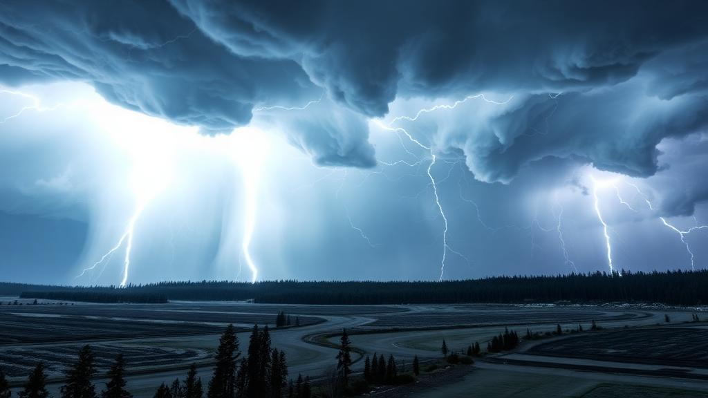
In the summer of 2010, Finland experienced something no one in the country had seen before: four derechos within just ten days. These widespread, long-lived windstorms, driven by fast-moving bands of thunderstorms, flattened forests, snapped power lines and left a trail of destruction across a nation better known for its calm, cool summers. The storms damaged roughly eight million cubic metres of timber and downed about 35,000 kilometres of power lines. Now, a new study published in the journal Weather and Climate Dynamics has taken a systematic look at the atmospheric conditions that make such storms possible in Finland, and its findings carry a sobering implication: the environments that breed derechos have become measurably more common in recent decades.
Derechos are among the most destructive convective weather phenomena on Earth. By the classic definition established by meteorologists Robert Johns and William Hirt in 1987, a derecho requires wind gusts of at least 26 metres per second along a damage path exceeding 400 kilometres. Unlike tornadoes, which produce rotating winds concentrated in narrow swaths, derechos unleash straight-line winds across vast areas, and their damage footprints can rival those of hurricanes. What makes them especially dangerous is their speed: derecho-producing convective systems race across the landscape far faster than ordinary thunderstorm complexes, often leaving forecasters and the public with little time to react. Their strong surface winds are typically generated by descending rear-inflow jets and mesoscale vortices near the leading edge of the storm line, mechanisms that distinguish them from other severe weather.
The economic stakes of understanding these storms are enormous. According to figures cited in the study, inflation-adjusted global losses from severe convective storms rose by 580 percent between the periods 1980 to 1994 and 2010 to 2024, a far steeper increase than the 209 percent rise in losses from all natural disasters over the same span. Yet simulating derechos directly in climate models remains impractical, because the fine-scale processes that generate destructive downdrafts demand horizontal resolutions finer than even today’s kilometer-scale models can deliver over long time periods. Researchers therefore rely on proxies, atmospheric fingerprints such as convective available potential energy, or CAPE, and vertical wind shear, to identify when conditions are ripe for these storms in reanalysis data and climate simulations.
Oskari Rantala of the University of Helsinki, together with Jouni Räisänen, Jenni Rauhala of the Finnish Meteorological Institute, and Marja Bister, assembled a catalog of ten events: eight confirmed summertime Finnish derechos, including the named storms Unto, Asta, Sylvi and Paula, and two derecho-type events, Ahti and Aatu, which caused widespread damage but fell just short of the formal path-length criteria. Because Finland’s weather balloon network is too sparse to capture the environments of these rare storms, the team turned to ERA5, the most advanced global atmospheric reanalysis available, which reconstructs hourly conditions on a 0.25-degree grid from 1940 onward. By tracing each storm’s trajectory on radar imagery and sampling the atmosphere along that path, they built a detailed portrait of what a Finnish derecho environment looks like.
The picture that emerged is distinctive. All ten events unfolded beneath a strong midtropospheric jet, with the storms travelling on the right-hand side of an upper-level jet streak, frequently near its right entrance region, a location known to favor rising air. A quasi-stationary high-pressure system over Russia combined with a trough digging into central or western Europe to drive a persistent southerly flow that pumped warm, humid air from southern Europe into Finland. Along every single storm trajectory, the equivalent potential temperature at 850 hectopascals, a measure combining heat and moisture that signals convective instability, exceeded 325 kelvin, an anomalously high value for a region where the summer average is around 310 kelvin. In the most extreme case, storm Sylvi, values climbed above 340 kelvin.
The kinematic conditions told an equally interesting story. Deep-layer wind shear, the change in wind speed and direction with height that organizes storms into long-lived systems, was moderate rather than extreme. The 0-to-6-kilometre shear exceeded 12 metres per second in every event, with a majority surpassing 15 metres per second, but the 0-to-10-kilometre shear was generally weaker than the values typical of American derechos, where 90 percent of cases exceed roughly 19.5 metres per second. Only the nighttime storm Asta sustained such strong deep-layer shear throughout its life. CAPE values, meanwhile, ranged widely, from below 500 to over 3000 joules per kilogram, and were generally lower than in United States derechos, consistent with the broader pattern that European convective environments are less energetic but still fully capable of producing catastrophic windstorms.
From this analysis, the team constructed three sets of criteria to flag derecho-favorable days. Two sets, based largely on the work of Andrew Cohen and colleagues, who in 2007 identified the parameters that best discriminate derechos from other convective systems in the United States, relied on thresholds for 0-to-10-kilometre shear, 0-to-6-kilometre shear, 6-to-10-kilometre mean wind speed, and a minimum CAPE of 250 joules per kilogram. The third, tailored specifically to Finnish conditions and dubbed the Derecho-favoring environments in Finland, or DEF, criteria set, replaced the upper-wind requirement with the 850-hectopascal equivalent potential temperature threshold of 325 kelvin and combined the two shear measures into a single flexible criterion. For a day to count as favorable, the thresholds had to be met simultaneously at the same grid point across a sufficiently large fraction of the study domain, which spans southern and central Finland between latitudes 58.5 and 65.5 degrees north.
The DEF criteria set proved the most faithful companion to the storms themselves, matching the trajectories of all ten events, including the anomalous storm Verneri, which defeated the stricter American-derived thresholds. When the researchers applied all three criteria sets to the full 1940-to-2022 ERA5 record for the summer months, a clear signal emerged: the number of favorable days has been increasing, with steeper trends after 1980, the period of accelerated global warming. The trends were modest relative to the large year-to-year variability, and not every statistical test reached significance, but every methodological choice, every criteria set, and every sensitivity test produced a positive trend. For the DEF criteria set, all Spearman correlations for the 1980-to-2022 period were statistically significant, giving the authors relatively strong confidence that derecho-favoring conditions have genuinely become more common in the warming era.
What is driving the increase? A regression analysis pointed to two quasi-independent factors. The first is straightforward thermodynamics: rising summer temperatures in the study region, which correlate with more frequent days of extreme low-level heat and moisture. The second is a shift in large-scale atmospheric circulation, captured by the Eastern Atlantic/Western Russia teleconnection index, which has trended negative since the late 1990s. A negative index corresponds precisely to the pattern seen during Finnish derechos, a high over Russia and a trough over central or western Europe steering warm, moist southerlies into the country. According to the fitted model, each one-degree rise in summer mean temperature, or a one-unit drop in the index, adds roughly two favorable days per summer. Notably, the relationship between favorable days and both predictors held even after removing long-term trends, suggesting it reflects real physical links rather than shared drift.
The authors are careful about what this means for the future. The negative trend in the teleconnection index could stem from anthropogenic climate change, natural variability, or both, and projections of how the jet stream will evolve over Europe remain deeply uncertain. A weakening polar jet could reduce deep-layer shear, working against derechos, while a wavier, more persistent flow could favor exactly the prolonged warm-air advection episodes that Finnish derechos require. Studies of individual storms under future warming scenarios have yielded conflicting results, though some suggest damage areas could expand substantially even if peak winds do not intensify. What is clear is that the thermodynamic ingredient, extreme low-level heat and moisture, is trending strongly upward in Finland, and that the framework developed here, with locally adapted thresholds, can be applied across Europe to track whether the atmosphere is quietly loading the dice for more of these relentless, hurricane-like windstorms in the decades ahead.
Subject of Research: Atmospheric environments favoring derecho formation in Finland and their frequency trends
Article Title: Derecho-favoring atmospheric environments in Finland: characteristics, identification criteria, and frequency trends
Article References: Rantala, O., Räisänen, J. A., Rauhala, J., & Bister, M. (2026). Derecho-favoring atmospheric environments in Finland: characteristics, identification criteria, and frequency trends. Weather and Climate Dynamics, 7(3), 1571-1592. https://doi.org/10.5194/wcd-7-1571-2026
Image Credits: AI Generated
Keywords: derecho, severe convective storms, Finland, wind shear, CAPE, equivalent potential temperature, ERA5 reanalysis, climate change, teleconnections, Eastern Atlantic/Western Russia pattern, thunderstorms, convective windstorms
Cite Scienmag News
Russell Cooper. (October 9, 2026). Finland’s Derecho-Producing Storm Environments Are Becoming More Frequent. Scienmag. https://scienmag.com/finlands-derecho-producing-storm-environments-are-becoming-more-frequent/
Russell Cooper. "Finland’s Derecho-Producing Storm Environments Are Becoming More Frequent." Scienmag, 9 October 2026, https://scienmag.com/finlands-derecho-producing-storm-environments-are-becoming-more-frequent/. Accessed 9 October 2026.
Russell Cooper. "Finland’s Derecho-Producing Storm Environments Are Becoming More Frequent." Scienmag. October 9, 2026. https://scienmag.com/finlands-derecho-producing-storm-environments-are-becoming-more-frequent/


