


Bangladesh Wetland Study Maps Climate and Thunderstorm Risks
A new study maps climate variability and thunderstorm dynamics in Bangladesh's Haor Basin, revealing district-specific risks that inform targeted adaptation ...
A new study maps climate variability and thunderstorm dynamics in Bangladesh's Haor Basin, revealing district-specific risks that inform targeted adaptation ...
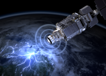
An 18-month assessment found that the Meteosat Third Generation Lightning Imager detected 87.4% of reference flashes across its field of ...
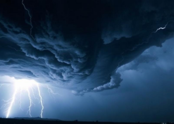
Using more than 1,200 European GNSS receivers, researchers have tracked circular ripples in the ionosphere launched by five different types ...

A new study of six UK thunderstorms treats every lightning stroke as a point in time and space, extracting storm ...
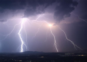
Combining Europe's new geostationary lightning imager with a dense ground-based mapping array, researchers show that longer, brighter and longer-lasting lightning ...
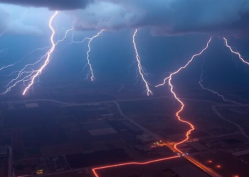
A 30-year analysis of thunderstorms over Khanaqin, Iraq, shows that jet stream dynamics and upper-level troughs, rather than convective energy ...
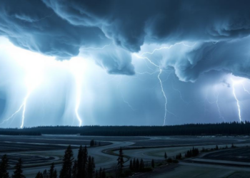
A new analysis of Finnish derechos shows that the warm, moist, sheared atmospheric environments that produce these destructive widespread windstorms ...
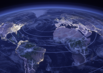
Researchers have derived calibration formulas that let a single observatory extract both the distance and the size of global thunderstorm ...
Researchers decoded nearly 7,000 historical Central European reports of thunderstorms and hail dating back to the year 1000 and trained ...
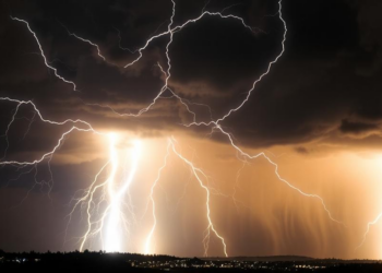
The GRAPES-3 muon telescope in India uses cosmic-ray muons to measure gigavolt electric fields inside thunderstorms and has explained why ...


Embark on a thrilling journey of discovery with Scienmag.com—your ultimate source for cutting-edge breakthroughs. Immerse yourself in a world where curiosity knows no limits and tomorrow’s possibilities become today’s reality!