


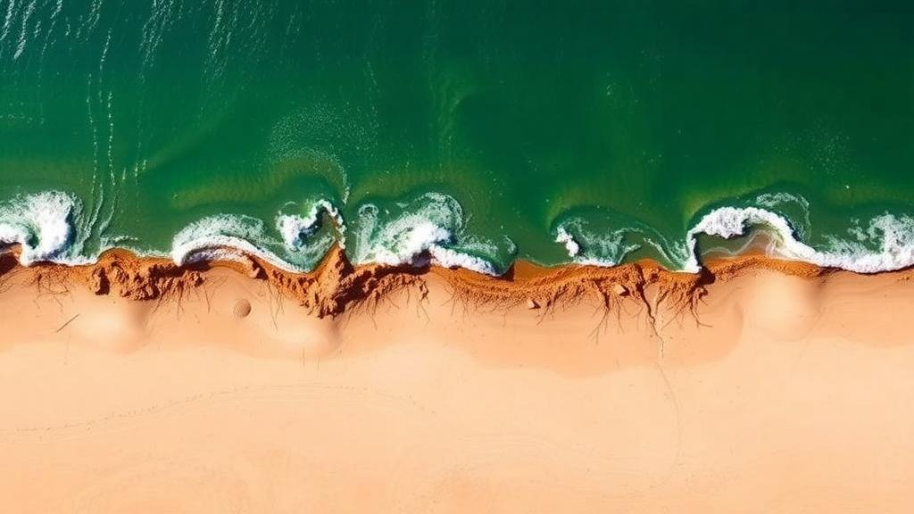
Along the northern edge of the Nile Delta, where the Kitchener Drain empties into the Mediterranean Sea, the shoreline is quietly losing its battle against waves, currents and rising seas. A new study published in Earth Science Informatics by Mohamed Kamel Elshaarawy, Karim Nassar and Nada Mansour describes a hybrid framework that pairs a physics-based coastal model with machine learning to forecast where sediment will erode and where it will pile up. The work arrives at a moment when coastal managers worldwide are desperate for faster, more reliable predictions of how shorelines will move under intensifying storms and accelerating sea level rise.
The research team selected the Kitchener Drain estuary as their proving ground, and for good reason. This drainage channel sits between the Mediterranean and the Nile Delta, one of the most vulnerable coastal regions on the planet, where natural erosion pressures collide with pollution, agricultural runoff and human modification of the coast. Sediment dynamics in such an environment are notoriously difficult to capture: waves reshape the seabed, currents redistribute sand, and drain outflows disturb the balance in ways that traditional models struggle to resolve quickly enough for practical decision-making.
The framework begins with physics. The researchers simulated hydrodynamic and wave interactions using the Coastal Modelling System, or CMS, a software package developed for coastal processes applications that has been verified and validated for sediment transport and morphology change. CMS computes how water moves through the estuary, how waves propagate and break, and how those forces mobilize and deposit sediment. These simulations generate a rich numerical picture of the system, but running them is computationally expensive, and tuning their parameters by hand is a slow, expert-driven process that can take weeks for a single scenario.
That is where the artificial intelligence enters. The team applied Bayesian optimization, a statistical technique for efficiently searching complex parameter spaces, to refine the hydrodynamic model’s settings automatically. Instead of an engineer laboriously adjusting friction coefficients and transport formulas one at a time, the optimization algorithm learns from each simulation which parameter combinations are most promising and concentrates its search accordingly. This step matters because poorly calibrated physics models produce garbage inputs, and no amount of downstream machine learning can rescue a badly calibrated foundation.
With the simulations tuned, the researchers trained five machine learning models to predict sediment dynamics, including Decision Trees, Random Forests and Gradient Boosting. The dataset combined numerical outputs from the simulations with experimental observations, giving the algorithms both the structured physics of the coastal system and real-world grounding. The goal was to build fast surrogate models that could reproduce the expensive hydrodynamic simulations in a fraction of the time, allowing managers to test many what-if scenarios instead of just a handful.
The results delivered a surprise for anyone who assumes bigger models are always better. The humble Decision Tree achieved the best overall predictive performance, with root mean square error values of 0.3282 plus or minus 0.0180 meters under 5-fold cross-validation and 0.3243 plus or minus 0.0230 meters under 10-fold cross-validation. Random Forests performed nearly identically, posting RMSE values of 0.3286 plus or minus 0.0202 meters and 0.3248 plus or minus 0.0241 meters for the same validation schemes. In practical terms, the models predict morphological change with errors on the order of a third of a meter, a precision that is genuinely useful for planning coastal interventions.
Cross-validation, the technique behind those error estimates, deserves a word of explanation because it is the difference between a trustworthy result and an inflated one. By splitting the data into five or ten partitions and repeatedly training on all but one partition before testing on the held-out set, the researchers ensured their error figures reflect performance on unseen data rather than memorization. The close agreement between the 5-fold and 10-fold results suggests the models are stable and not overfitting, a persistent danger when machine learning is applied to geophysical datasets of modest size.
Interpretability was treated as a first-class requirement rather than an afterthought. The team performed a feature importance analysis to identify which parameters drive the predictions, giving coastal engineers insight into why the model forecasts erosion or deposition at a given location. This matters enormously for adoption: a black-box prediction that a shoreline will retreat is hard to act on, but knowing that wave height, current velocity or drain discharge dominates the forecast tells engineers which lever to pull. The approach echoes a broader movement in the geosciences toward explainable machine learning, where the goal is not just accuracy but understanding.
Perhaps the most immediately practical contribution is a Graphical User Interface that wraps the trained models, enabling rapid and interactive prediction of morphological changes from user-provided hydrodynamic inputs. A coastal manager with no programming background can enter local conditions and receive near-instant forecasts of how the seabed and shoreline will respond. This kind of decision-support tooling is what transforms an academic exercise into something that can inform real choices about where to place defenses, how to manage dredging, and which stretches of coast deserve urgent protection.
The stakes could hardly be higher. The Nile Delta hosts millions of people, fertile agricultural land and critical infrastructure within a few meters of sea level, and studies of the Egyptian coast have documented persistent shoreline retreat, sea level rise impacts and sediment starvation following the damming of the Nile. The Kitchener Drain outlet itself has been the subject of earlier hydro-morphological investigations by overlapping research groups, and this new framework builds on that foundation by adding predictive speed and machine learning rigor. If the approach generalizes to other vulnerable estuaries, it could become a template for coastal forecasting in data-scarce regions worldwide, where running full physics simulations for every planning question is simply not feasible.
There are, of course, limits to keep in mind. The models were trained on data from a single estuary, and sediment transport is famously site-specific, so transferring the framework elsewhere would require recalibration and retraining with local hydrodynamic simulations. The authors also note that no new field datasets were generated for the study, meaning the machine learning component leans heavily on the fidelity of the CMS simulations and existing observations. Still, the architecture is deliberately modular: better physics, better data and better algorithms can each be swapped in as they improve. What the study demonstrates is a workflow, not just a result, and that workflow, physics simulation, Bayesian optimization, ensemble machine learning, interpretability analysis and GUI deployment, is one that other coastal engineering teams can adopt today. As climate change accelerates erosion on deltas from the Mediterranean to the Mekong, tools that turn weeks of computation into seconds of interaction may prove to be exactly the lifeline vulnerable coastlines need.
Subject of Research: Hybrid hydrodynamic simulation and machine learning for predicting coastal erosion and sedimentation at the Kitchener Drain estuary on the Nile Delta
Article Title: A hybrid hydrodynamic and machine learning framework for coastal erosion and sedimentation prediction
Article References: Elshaarawy, M. K., Nassar, K., & Mansour, N. (2026). A hybrid hydrodynamic and machine learning framework for coastal erosion and sedimentation prediction. Earth Science Informatics, 19(12), Article 216. https://doi.org/10.1007/s12145-026-02274-9
Image Credits: AI Generated
DOI: 10.1007/s12145-026-02274-9
Keywords: coastal erosion, machine learning, sediment transport, Nile Delta, Coastal Modelling System, Bayesian optimization, Decision Trees, Random Forests, hydrodynamic modeling, shoreline change, Kitchener Drain, sea level rise
Cite Scienmag News
Teresa Odom. (October 19, 2026). AI Meets the Tide: Machine Learning Predicts Coastal Erosion on the Nile Delta. Scienmag. https://scienmag.com/ai-meets-the-tide-machine-learning-predicts-coastal-erosion-on-the-nile-delta/
Teresa Odom. "AI Meets the Tide: Machine Learning Predicts Coastal Erosion on the Nile Delta." Scienmag, 19 October 2026, https://scienmag.com/ai-meets-the-tide-machine-learning-predicts-coastal-erosion-on-the-nile-delta/. Accessed 19 October 2026.
Teresa Odom. "AI Meets the Tide: Machine Learning Predicts Coastal Erosion on the Nile Delta." Scienmag. October 19, 2026. https://scienmag.com/ai-meets-the-tide-machine-learning-predicts-coastal-erosion-on-the-nile-delta/


