

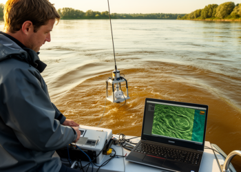
New Open-Source Tool Maps River Sand Dunes Across Thousands of Sonar Surveys
Bedform Finder, a new open-source MATLAB application, automates the identification and measurement of river sand dunes across large multibeam bathymetric ...
Bedform Finder, a new open-source MATLAB application, automates the identification and measurement of river sand dunes across large multibeam bathymetric ...
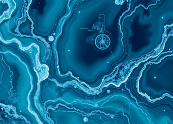
A new review maps how numerical simulations and artificial intelligence are reshaping the study of turbidity currents, the powerful underwater ...
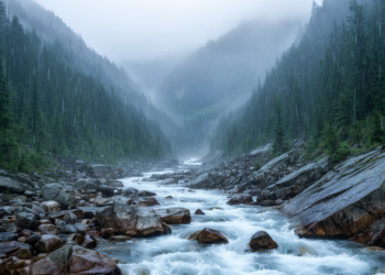
Continuous monitoring in Japan's Ikawa Forest showed rainfall effects reaching rivers within 160 minutes across slopes longer than 500 meters.
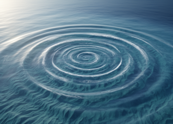
An analytical study shows that localized changes in bottom friction launch rotating Poincaré waves at odd multiples of the tidal ...
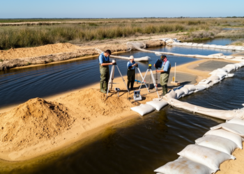
A river-delta-coast assessment in Spain shows how reconnecting sediment flows, reshaping beaches and coordinating water use can protect vulnerable coasts ...
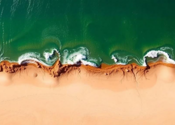
Researchers combined the Coastal Modelling System with Bayesian optimization and machine learning to predict erosion and sedimentation at Egypt's Kitchener ...
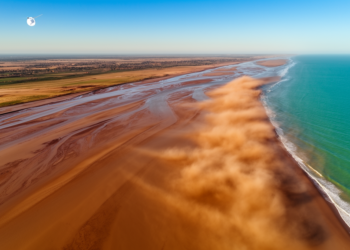
A TRACE2025 keynote shows how satellite remote sensing, fused with field data and machine learning, is transforming the study of ...
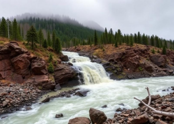
A sweeping review of 1,967 studies shows mountain flash floods are state-dependent events that demand coordinated portfolios of warning, planning, ...
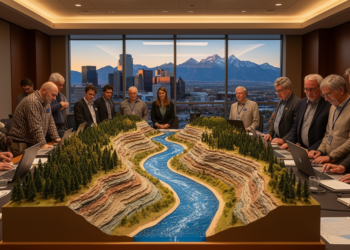
At GSA Connects 2026 in Denver, geoscientists are exploring how floods, drought, and human modification are transforming rivers and the ...
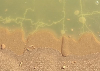
Researchers deployed a custom-built, twenty-dollar sediment trap in the high-energy intertidal zone of the northeast Bay of Bengal and recovered ...


Embark on a thrilling journey of discovery with Scienmag.com—your ultimate source for cutting-edge breakthroughs. Immerse yourself in a world where curiosity knows no limits and tomorrow’s possibilities become today’s reality!