


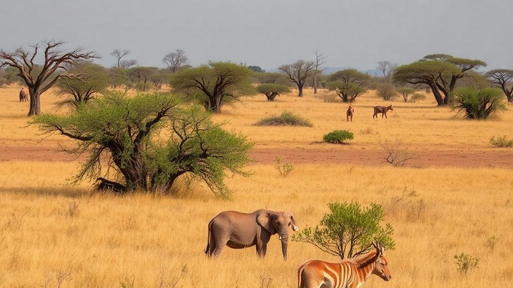
Southern Africa’s iconic savannas and grasslands are quietly being transformed by an invasion of thorny shrubs, a process scientists call bush encroachment or “thicketization.” Now, a new study published in Frontiers of Biogeography has mapped exactly where three of the worst offenders are likely to spread as the climate warms, and the outlook is troubling. Using machine learning models and climate projections, researchers found that the suitable habitat for these bush encroacher species could expand by as much as 29.4% by the final decades of this century, threatening the delicate balance between grasses and woody plants on which the region’s ranching economies and wildlife depend.
The research, conducted as part of the European Union-funded SteamBioAfrica project, focused on three species that are already notorious across Namibia, Botswana, and South Africa: Senegalia mellifera, known as black thorn; Dichrostachys cinerea, the sickle bush; and Terminalia sericea, the silver cluster-leaf. These woody plants have been steadily colonizing open rangelands for more than a century, displacing the herbaceous vegetation that sustains livestock grazing and altering soil chemistry, water infiltration, and fauna dynamics. The phenomenon was first described as early as 1917, when botanist Bews documented the increasing density of acacia-type species in southern African grasslands, and it has since become one of the most pressing management challenges in arid and semi-arid rangelands worldwide.
At the heart of the encroachment problem lies the two-layer theory of savanna ecology. Savannas are structured in two distinct vertical strata: trees and shrubs dominate the upper layer, while grasses and herbaceous plants occupy the lower one. When overgrazing or disrupted fire regimes weaken the grass layer, it loses its ability to compete for water and nutrients, and more rainfall percolates into deeper soil horizons where tree and shrub roots can access it. This gives woody plants a decisive competitive advantage, allowing them to take over. The process is driven by a complex interplay of factors, including changes in fire regimes, livestock grazing pressure, the loss of browsing herbivores, fuelwood harvesting, rising atmospheric carbon dioxide, and climate change itself, making it nearly impossible to attribute encroachment to any single cause.
Paradoxically, encroaching shrubs are not entirely villainous. Under controlled grazing, soils beneath shrub canopies often contain more organic matter, nutrients, and seeds than open grassland, creating so-called “fertile islands” that can foster biodiversity and improve soil quality. Soil carbon, microbial activity, nitrogen storage, and above-ground productivity have all been found to be higher under woody cover than under grasses. However, species like Senegalia mellifera develop aggressive lateral root systems that displace herbaceous vegetation entirely, crashing biodiversity and fundamentally altering habitat. The challenge for land managers is maintaining a balance between woody and herbaceous cover that preserves ecosystem services without triggering runaway thicketization, which also increases evapotranspiration and can intensify droughts.
To predict where these species will spread, the research team employed MaxEnt, a widely used machine learning approach in ecological niche modeling that predicts suitable habitat from presence-only occurrence records combined with environmental variables. The researchers compiled thousands of occurrence records from the Global Biodiversity Information Facility and published literature, then spatially rarefied the data at roughly 10-kilometer resolution to eliminate sampling bias and spatial autocorrelation. After rarefaction, 286 points remained for Terminalia sericea, 281 for Senegalia mellifera, and 186 for Dichrostachys cinerea. The models incorporated 30 candidate variables spanning bioclimatic measures from WorldClim, soil properties from SoilGrids, and topographic features derived from elevation data, with highly correlated variables excluded to prevent overfitting.
The predictive power of the final models was strong. Performance, assessed by the area under the receiver operator characteristic curve, reached 0.836 for Terminalia sericea, 0.822 for Dichrostachys cinerea, and 0.738 for Senegalia mellifera, all comfortably above the 0.7 threshold generally considered satisfactory. The analysis revealed that precipitation and temperature variables overwhelmingly govern the distribution of all three species, though each responds to a distinct combination. Terminalia sericea’s habitat was best explained by annual precipitation, which contributed 55.2% of the model, and annual mean temperature at 31.2%. Senegalia mellifera responded most strongly to the mean temperature of the wettest quarter at 50.9%, while Dichrostachys cinerea was driven primarily by precipitation of the driest month at 41.3%.
Under current conditions, the models show that Senegalia mellifera is already the most pervasive of the three, with suitable habitat covering 56% of the study area, or roughly 1.46 million square kilometers. Dichrostachys cinerea follows with 43.9% suitable habitat, and Terminalia sericea with 37.9%. The future projections paint an even starker picture. Drawing on three structurally distinct Earth system models from the sixth phase of the Coupled Model Intercomparison Project, and spanning three shared socioeconomic pathways from a moderate mitigation scenario to a high-emission scenario, the researchers generated 54 future distribution maps for two time horizons, 2041 to 2060 and 2061 to 2080. In every scenario, unsuitable areas shrank and habitat suitability expanded.
The magnitude of expansion depended on emissions. Under the moderate SSP245 pathway, habitat gains were smallest, but under the high-emission SSP585 scenario, Senegalia mellifera’s suitable area grew by up to 29.4%, Dichrostachys cinerea’s by 24.2%, and Terminalia sericea’s by 24%. By 2061 to 2080 under SSP585, the most climate-sensitive model predicted that 85.4% of the entire study area would be suitable for Senegalia mellifera, making it the clear winner in a hotter, drier future. The change maps also revealed a clear geographic trend: shrub expansion flows southward toward South Africa and Botswana, consistent with climate projections of declining rainfall in the east and north of the region, conditions that favor competitively dominant shrubs over grasses.
These findings align with broader evidence of vegetation change across the continent. Previous studies have documented annual increases in shrub cover of up to 0.27% per year, alongside satellite-detected increases in vegetation optical depth across southern, western, and central Africa, confirming global greening trends driven in part by rising carbon dioxide, shifting rainfall, and warming temperatures. The model outputs also closely match existing published distribution maps for the three species, lending credibility to the future projections, though the authors caution that such models cannot capture biotic interactions, genetic adaptation, or the full complexity of socio-ecological processes.
The practical motivation behind the mapping effort is the SteamBioAfrica project itself, which aims to turn the encroachment problem into an opportunity. The initiative is demonstrating a superheated steam technology that converts invasive woody biomass into clean solid biofuel and condensate water across Namibia, Botswana, and South Africa. Dichrostachys cinerea, with its rapid growth, high biomass density, and low burning emissions, is particularly suited to clean energy generation, while Terminalia sericea and Senegalia mellifera are already valued locally as fuelwood, medicinal plants, and livestock feed. By identifying where these species are most likely to thrive, the habitat maps will help target harvesting operations, guide land restoration, and strengthen soil management plans. The researchers recommend local-scale validation studies measuring shrub regeneration in newly suitable areas, arguing that a deeper understanding of how woody species respond to a changing climate is essential for keeping southern Africa’s savannas, and the livelihoods they support, in balance.
Subject of Research: Predicting habitat suitability of bush encroacher shrubs in southern Africa under climate change scenarios using MaxEnt species distribution modeling
Article Title: Mapping the potential habitat suitability and opportunities of bush encroacher species in Southern Africa: a case study of the SteamBioAfrica project
Article References: Bravo-García, J., Camarillo-Naranjo, J., Blanco-Velázquez, F. J., González-Peñaloza, F., & Anaya-Romero, M. (2024). Mapping the potential habitat suitability and opportunities of bush encroacher species in Southern Africa: a case study of the SteamBioAfrica project. Frontiers of Biogeography, 17, Article e136222. https://doi.org/10.21425/fob.17.136222
Image Credits: AI Generated
Keywords: bush encroachment, MaxEnt, species distribution modeling, savanna ecosystems, climate change, Senegalia mellifera, Dichrostachys cinerea, Terminalia sericea, Southern Africa, rangeland management, biofuel, thicketization
Cite Scienmag News
Sloane Callahan. (October 19, 2026). Climate Change Set to Supercharge Bush Encroachment Across Southern African Savannas. Scienmag. https://scienmag.com/climate-change-set-to-supercharge-bush-encroachment-across-southern-african-savannas/
Sloane Callahan. "Climate Change Set to Supercharge Bush Encroachment Across Southern African Savannas." Scienmag, 19 October 2026, https://scienmag.com/climate-change-set-to-supercharge-bush-encroachment-across-southern-african-savannas/. Accessed 19 October 2026.
Sloane Callahan. "Climate Change Set to Supercharge Bush Encroachment Across Southern African Savannas." Scienmag. October 19, 2026. https://scienmag.com/climate-change-set-to-supercharge-bush-encroachment-across-southern-african-savannas/


