


TopoToolbox 3 Expands Quantitative Geomorphology Analysis Across Python and MATLAB Platforms
TopoToolbox 3 introduces a shared C library and Python bindings to enhance terrain analysis and software interoperability in quantitative geomorphology.
TopoToolbox 3 introduces a shared C library and Python bindings to enhance terrain analysis and software interoperability in quantitative geomorphology.

A field-validated compound hydrodynamic model successfully reproduced coastal storm surge inundation and water-level dynamics recorded across Guangdong Province during Typhoon ...

Researchers have developed and validated a coupled hydrodynamic-wave model to assess compound flooding from coastal surges, river overflow, and rainfall ...

Numerical modeling and field surveys reveal offshore breakwaters in Vietnam trap minimal fine sediment due to deficient sediment budgets and ...

Field monitoring, hydrodynamic tracer simulation, and a soil-column experiment show that tidal inflow renews only about 6 kilometers of a ...

A study shows upstream dams, climate variability, and intensive sand mining have delayed and shortened the seasonal reverse flow into ...

A study combining Sentinel-2 imagery and MIKE 21 hydrodynamic modeling shows that tides, monsoon-driven river discharge and estuary shape control ...

A coupled model study found that tributary inflows, return flow, channel storage and backwater effects can generate delayed secondary peaks ...
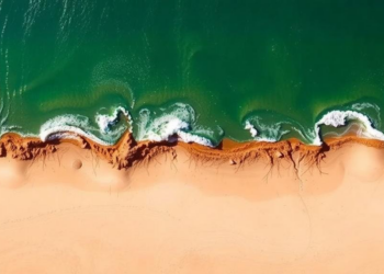
Researchers combined the Coastal Modelling System with Bayesian optimization and machine learning to predict erosion and sedimentation at Egypt's Kitchener ...

First field detection of invasive freshwater jellyfish polyps in Israel reveals multiple independent introductions in the Lake Kinneret watershed, while ...


Embark on a thrilling journey of discovery with Scienmag.com—your ultimate source for cutting-edge breakthroughs. Immerse yourself in a world where curiosity knows no limits and tomorrow’s possibilities become today’s reality!