


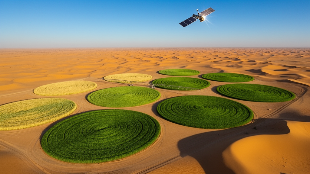
Deep in the Al-Jouf region of northern Saudi Arabia, where annual rainfall barely reaches 100 millimeters and summer temperatures climb toward 40 degrees Celsius, a vast commercial farm has become the testing ground for a new way of watching crops grow from space. Researchers at King Abdullah University of Science and Technology have shown that freely available satellite data, processed with surprisingly simple mathematical rules, can pinpoint five key stages of the wheat growing season with accuracy high enough for real farm decisions. The work, published in Frontiers in Remote Sensing, offers a practical template for monitoring agriculture in some of the harshest farming environments on Earth.
Crop phenology, the timing of growth stages such as germination, flowering, and harvest, sits at the heart of agricultural management. Knowing when a crop reaches each stage tells farmers when to irrigate, when to fertilize, and when to expect problems from pests or disease. In drylands, where every drop of water is precious and the margin for error is thin, this information becomes even more valuable. Yet the traditional way of gathering it, sending people into fields to score plants visually or take meter readings, is labor-intensive, subjective, and nearly impossible to scale across thousands of hectares.
Satellites have long promised a solution, but most existing approaches come with hidden costs. Many require extensive calibration data, large training datasets, or heavy computational resources that data-scarce regions simply cannot provide. Others rely on a single type of sensor or detect only a couple of stages, missing intermediate transitions like flowering and senescence that matter most for in-season decisions. Perhaps most importantly, nearly all previous methods were developed in temperate, rainfed regions, where rainfall drives the crop calendar. In irrigated drylands, the rules of the game change completely.
The research team, led by Ahmed S. Almalki and including Marcel M. El Hajj, Kasper Johansen, and Matthew F. McCabe, chose a study site that embodies these challenges. Their target was a 30,000-hectare farm with 300 center-pivot irrigated fields, where wheat is the dominant winter crop, sown between early November and late December and harvested between early May and early June. The soil is a bright sandy loam, and the climate is classified as hot desert under the Köppen-Geiger system. These conditions create a perfect storm of complications for satellite monitoring: sparse canopies mix spectrally with reflective soil, irrigation events cause sudden moisture swings that ripple through both optical and radar signals, and field-level management decisions rather than weather patterns drive the timing of growth.
To cut through this complexity, the researchers turned to two complementary European Space Agency missions. Sentinel-2 carries a passive optical instrument that measures reflected sunlight across 13 spectral bands, while Sentinel-1 is an active radar system that bounces microwave signals off the surface and works day and night, in almost any weather. From Sentinel-2 images, the team derived three vegetation indices, each chosen for its sensitivity to a different phase of wheat development. The normalized difference vegetation index, or NDVI, tracks overall greenness and was used to detect germination and harvest. The green-red vegetation index, or GRVI, peaks at the heading stage and served as the marker for flowering. The plant senescence reflectance index, or PSRI, responds to pigment breakdown and flagged the onset of senescence. From Sentinel-1, they calculated volume backscattering, the difference between two radar polarization channels, which suppresses soil contributions and isolates the signal from the crop canopy itself.
The analytical pipeline was elegantly straightforward. The team assembled 85 cloud-free Sentinel-2 images and 94 Sentinel-1 images spanning two growing seasons, from October 2019 through July 2021. For each of the 68 to 73 active wheat fields per season, they averaged the satellite measurements across all pixels within the field boundary, producing a time-series profile for every field. These profiles were normalized, smoothed with a Savitzky-Golay filter to remove noise while preserving curve shape, and then fitted with Gaussian functions, the familiar bell-shaped curves that capture the rise and fall of a growing season. The phenology stages were then read directly off these fitted curves using simple geometric rules, such as the position two standard deviations from the curve peak, that had been established in previous wheat studies.
The results revealed a clear pattern in how the two sensors performed. Rules applied to the optical indices from Sentinel-2 delivered relative root mean square errors between 2.64 and 14.17 percent across all five stages, with biases ranging from 7.34 to 20.60 days, all without any adjustment to the original rules. For germination, the NDVI-based rule achieved a coefficient of determination of 0.83, meaning it explained 83 percent of the field-to-field variability in observed dates. The radar-based rules from Sentinel-1 showed more variability, with errors between 4.60 and 26.22 percent, but two of the five stages, germination and senescence, performed well without modification.
Some of the most interesting findings came from understanding why certain rules missed the mark. The radar-based germination rule detected signals about 13 days before the observed germination dates, a lead time that closely matches the typical sowing-to-germination interval for wheat. The researchers hypothesize that the radar was responding to field preparation activities, such as soil disturbance and changes in surface roughness, that occur around sowing. Rather than being a flaw, this behavior suggests the radar rule captures a complementary piece of information: it sees the field being prepared before the optical system sees the crop emerging. Similarly, the radar flowering rule appeared to respond to the booting stage, when the wheat head swells within the flag leaf sheath, rather than flowering itself, indicating that the rule needed to be shifted to align with the correct developmental moment.
The harvesting stage proved hardest for both sensors, and the reasons are physically illuminating. By harvest time, the wheat canopy has already lost most of its chlorophyll through senescence, so the optical signal has fallen close to its seasonal minimum before any cutting occurs. Removing already-senesced crop produces only a small change in the NDVI trajectory. Radar behaves differently: standing stubble and dry crop residue continue to scatter radar signals after cutting because the structural arrangement of the stems persists even after the pigment is gone. This means the radar signal lags further behind the actual harvest date, a delay compounded by gaps in the Sentinel-1 acquisition sequence during the harvest windows. The team also noted a subtle but important distinction: farm records marked the start of harvesting, while the satellite rules were designed to detect the point at which harvesting is complete, an inherent mismatch that explains part of the systematic delay.
For the two radar rules that exceeded the accuracy threshold, the researchers proposed targeted geometric corrections. Shifting the flowering rule from one position on the fitted curve to another, and similarly adjusting the harvesting rule, brought both stages to within a week of the observed dates. Because these corrections were single-parameter shifts rather than fitted free parameters, they represent principled adjustments rather than overfitting, though the team acknowledges that independent validation on new data will be needed before operational use. The study also demonstrated that relying on NDVI alone for all stages, rather than the three specialized indices, produced substantially larger errors, confirming that the index-specific approach is necessary rather than incidental.
The broader significance of this work lies in its accessibility and scalability. Every ingredient is freely available: the satellite data, the processing workflow built on Google Earth Engine, and the curve-based rules that require minimal to no calibration. This makes the approach viable for data-scarce regions where expensive ground campaigns or machine learning training datasets are out of reach. The phenology information it produces can feed crop simulation models, improve crop type classification, and support in-season decisions about irrigation and fertilization, though the researchers note that moving from retrospective analysis to near-real-time monitoring is a necessary next step. They also caution that the rules were demonstrated under a specific set of conditions, including sandy loam soils, center-pivot irrigation, and a hot desert climate, and that evaluation across other dryland environments, soil types, and wheat cultivars will be essential before the approach can be applied more broadly. As climate change intensifies pressure on water resources in arid regions worldwide, tools like this one, which turn freely available satellite observations into actionable agricultural intelligence, may become indispensable for sustaining food production where it is hardest to grow.
Subject of Research: Satellite-based retrieval of wheat phenology stages in dryland agriculture using Sentinel-1 radar and Sentinel-2 optical imagery
Article Title: Leveraging Sentinel-2 and Sentinel-1 imagery for retrieving key wheat phenology stages in a dryland agricultural setting
Article References: Almalki, A. S., El Hajj, M. M., Johansen, K., & McCabe, M. F. (2026). Leveraging Sentinel-2 and Sentinel-1 imagery for retrieving key wheat phenology stages in a dryland agricultural setting. Frontiers in Remote Sensing, 7, Article 1860441. https://doi.org/10.3389/frsen.2026.1860441
Image Credits: AI Generated
DOI: 10.3389/frsen.2026.1860441
Keywords: wheat phenology, Sentinel-1, Sentinel-2, remote sensing, dryland agriculture, Saudi Arabia, NDVI, synthetic aperture radar, crop monitoring, vegetation indices, Gaussian fitting, irrigated farming
Cite Scienmag News
Alan Morgan. (October 16, 2026). Satellites Track Wheat Growth Stages in Saudi Arabia’s Desert Farmland. Scienmag. https://scienmag.com/satellites-track-wheat-growth-stages-in-saudi-arabias-desert-farmland/
Alan Morgan. "Satellites Track Wheat Growth Stages in Saudi Arabia’s Desert Farmland." Scienmag, 16 October 2026, https://scienmag.com/satellites-track-wheat-growth-stages-in-saudi-arabias-desert-farmland/. Accessed 16 October 2026.
Alan Morgan. "Satellites Track Wheat Growth Stages in Saudi Arabia’s Desert Farmland." Scienmag. October 16, 2026. https://scienmag.com/satellites-track-wheat-growth-stages-in-saudi-arabias-desert-farmland/


