

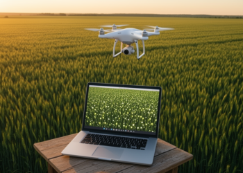
AI Counts Wheat Seedlings From Drone Images Using Only Dot Annotations
A new point-supervised deep learning model counts wheat seedlings in drone images using only dot annotations while also mapping their ...
A new point-supervised deep learning model counts wheat seedlings in drone images using only dot annotations while also mapping their ...
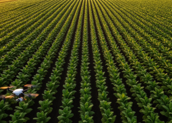
Researchers in Yunnan Province, China, have developed a low-cost method that counts tobacco plants from UAV imagery by tracing row ...
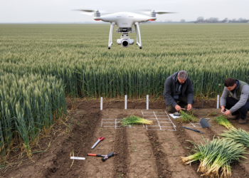
A two-season Chinese field study found that fused UAV spectral, texture, LiDAR and temporal features with random forest produced the ...
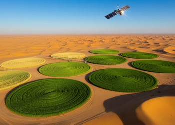
Researchers showed that simple curve-based rules applied to freely available Sentinel-2 and Sentinel-1 satellite data can accurately retrieve five key ...
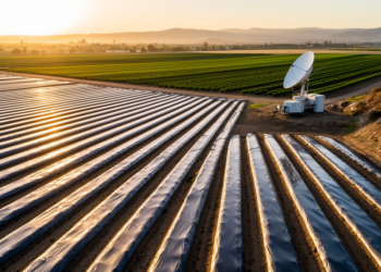
A new spectral classification of Sentinel-2 imagery maps dark and bright plastic mulch across a California agricultural hotspot with 98 ...

A systematic 264-experiment study in China found that a Wasserstein GAN augmenting just 76 soil samples improved drone-based soil organic ...
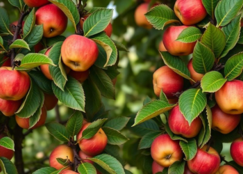
An eight-year satellite study of an Azerbaijani apple orchard shows NDVI can reliably predict yields only for individual plots of ...
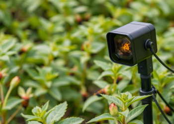
A new review synthesises how artificial intelligence, deep learning, and Internet of Things architectures are transforming automated crop pest detection ...

A new study in the Brazilian Cerrado shows that the phenological stage at which satellite images are captured can be ...
A comprehensive review shows that artificial intelligence, from hyperspectral sensing and climate-driven forecasting to autonomous drones and ground robots, is ...


Embark on a thrilling journey of discovery with Scienmag.com—your ultimate source for cutting-edge breakthroughs. Immerse yourself in a world where curiosity knows no limits and tomorrow’s possibilities become today’s reality!