


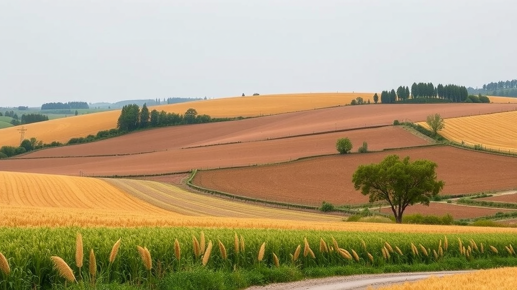
A new study has turned the European Union’s farm bureaucracy into one of the most powerful biodiversity monitoring tools on the continent. Researchers from Hungary have shown that the geospatial datasets collected every year to administer agricultural subsidies — data never intended for ecological purposes — can be transformed into a transferable, nationally scalable proxy for ecosystem spatial complexity, and their first full-country application reveals a striking signal: the structural complexity of Hungary’s agricultural landscapes has declined sharply in less than a decade.
The research, published in the journal Environmental Challenges, was conducted by Bernadett Csonka, Katalin Balázs and László Podmaniczky, who set out to close a persistent gap between the richness of spatial data available to policymakers and the ecological indicators actually used to assess farmland biodiversity. Agricultural landscapes cover vast areas of Europe and sit at the centre of EU biodiversity policy, yet species-level monitoring remains expensive, fragmented and impossible to carry out wall-to-wall across entire countries. The team’s answer was to stop chasing species directly and instead measure the architecture of the landscape itself — the stitched-together mosaic of habitats that determines whether species can move, disperse and persist.
The foundation of the approach lies in data infrastructures most people never think about. Under the Common Agricultural Policy, every payment claim runs through the Integrated Administration and Control System, which relies on the Land Parcel Identification System (LPIS) and the annual Geospatial Aid Application (GSAA) — high-resolution, georeferenced maps of fields, crops and landscape features verified for eligibility. In Hungary, the national LPIS, known as MePAR, operates as a wall-to-wall land cover dataset covering the entire country, a rarity in the EU, with a minimum mapping unit of just 100 square metres for arable land and explicit capture of linear landscape elements wider than roughly two metres. That means hedgerows, tree rows, field margins and grassland patches are drawn into the record with fine spatial detail, updated on a three-year orthophoto cycle and cross-checked annually against satellite observations from the CAP Area Monitoring System.
From this administrative goldmine, the researchers built an indicator they call ecosystem spatial complexity. The core measurement is deceptively simple: within each UTM quadrat — thousands of fixed grid cells covering the country — they calculated the total length of boundaries between different land cover categories, using 27 land cover groups and excluding self-intersections and artificial surfaces. The logic draws on a long tradition in landscape ecology: habitat transitions, or ecotones, are zones where species richness tends to rise because adjacent habitat conditions coexist, so a landscape laced with long, convoluted boundaries between arable land, grassland, woody vegetation and wet features should offer more niches, more stepping stones and greater structural resilience than a landscape of vast, uniform fields. The computations were performed in an open-source workflow combining QGIS, a PostGIS spatial database and spreadsheet analysis, processing more than 1.2 million polygons per year.
The team deliberately refined classical metrics to avoid known biases. Shape-complexity measures such as Patton’s edge index can overvalue narrow linear features like grass margins while underrepresenting isolated tree groups, which in intensively cultivated arable landscapes often serve as the more ecologically valuable stepping stones. The Hungarian framework therefore distinguishes four harmonised phenological categories — arable land, natural vegetation, semi-natural vegetation including managed grassland, and artificial sealed surfaces — chosen because they align with what Earth observation can reliably detect, and it complements the boundary metric with a compositional diversity indicator that counts the distinct land cover types and crop types present in each quadrat, drawing crop information from the annual GSAA declarations.
A crucial methodological step was proving that the decadal dataset of 2015 to 2024 was stable enough to support trend analysis. The authors demonstrate that the MePAR classification methodology has remained consistent since 2018, meaning that later changes in polygon boundaries reflect genuine changes on the ground rather than shifts in how data were drawn or classified. From 2023 onwards, linear landscape elements of high biodiversity relevance — tree rows and field margins — were systematically represented across full national coverage in the natural vegetation category, allowing the team to compare a five-year average from 2018 to 2022 against 2023 and 2024 on a like-for-like basis.
The headline finding is dramatic. Comparing 2019 with 2024 under a ±10 percent deviation threshold, 84.58 percent of agriculture-dominated quadrats in Hungary showed a decrease in ecosystem spatial complexity greater than 10 percent, while only 0.15 percent showed an increase above that threshold; the remaining 15.28 percent stagnated. Roughly half of the declining quadrats lost between 10 and 20 percent of their complexity, and about a quarter fell in the 20 to 30 percent loss class. Because total eligible area remained largely stable over the period, the signal is expressed almost entirely through boundary dynamics — the removal of field margins, the homogenisation of adjacent practices, the disappearance of small semi-natural patches — rather than through the outright conversion of land. In plain terms, Hungary’s farmed landscapes are being ironed flat, their fine-grained habitat mosaics eroding into larger, simpler blocks.
The framework also translates raw complexity values into policy-ready categories. Using thresholds derived from a six-year reference period, each quadrat is classified as unfavourable, average or favourable: in 2024, about 11.56 percent of quadrats fell into the unfavourable class with complexity below roughly 100 kilometres of habitat boundary, around 16.31 percent were favourable above about 210 kilometres, and nearly three-quarters sat in the average band. A complementary dynamic classification using Jenks natural breaks optimisation allows year-specific targeting of interventions. National statistics on specific boundary types sharpen the picture further: the total outer boundary of arable land, the length of contact between arable land and linear landscape features, and the perimeter where agricultural land meets natural or semi-natural vegetation each serve as sensitive detectors of field consolidation and the loss of hedgerows, tree rows and narrow forest strips.
The authors are careful about what such proxies can and cannot claim. Boundary length captures structural complexity, not biodiversity itself — species richness, abundance and community composition remain unobserved — and the relationship between edge density and ecological quality is not unidirectional, since fragmentation can harm species that depend on large, contiguous habitats even as it benefits generalists. The indicators also inherit uncertainties from farmer-declared crop data, though integration with Sentinel-2-based Area Monitoring System outputs is expected to progressively reduce that weakness. The study does not establish causality between landscape structure and biodiversity outcomes; it captures structural correlation and change, which would need to be paired with field observations to untangle drivers such as climate variability, soil properties and management intensity.
Even so, the policy implications are considerable. The Nature Restoration Law, which entered into force in 2024, explicitly sets targets for high-diversity landscape features on agricultural land — hedgerows, buffer strips, ponds, wooded strips, isolated trees — and demands spatially explicit, comparable monitoring across Member States. A proxy that can be computed annually, at quadrat or even parcel level, from data that national administrations already collect and verify, offers exactly the kind of scalable, reproducible benchmark that performance-based CAP evaluation frameworks require. Validated for transferability against Austrian IACS datasets under INSPIRE standards, and transferable in principle to other Member States using Copernicus High Resolution Layers where wall-to-wall LPIS does not exist, the approach demonstrates that the EU’s subsidy machinery, reinterpreted through the lens of landscape ecology, can double as a continental early-warning system — one that has already issued its first warning, showing biodiversity-relevant landscape structure collapsing across most of a nation’s farmland within five years.
Subject of Research: Deriving a transferable ecosystem spatial complexity proxy for farmland biodiversity monitoring from high-resolution CAP and Earth observation data
Article Title: Ecosystem spatial complexity derived from high resolution agricultural data: a transferable biodiversity proxy
Article References: Csonka, B., Balázs, K., & Podmaniczky, L. (2026). Ecosystem spatial complexity derived from high resolution agricultural data: a transferable biodiversity proxy. Environmental Challenges, 25, Article 101658. https://doi.org/10.1016/j.envc.2026.101658
Image Credits: AI Generated
DOI: 10.1016/j.envc.2026.101658
Keywords: biodiversity, agricultural landscapes, ecosystem spatial complexity, Common Agricultural Policy, LPIS, IACS, Earth observation, landscape ecology, habitat heterogeneity, Nature Restoration Law, Hungary, Sentinel-2
Cite Scienmag News
Alan Morgan. (September 22, 2026). Farm subsidy data reveals steep decline in Europe’s agricultural landscape complexity. Scienmag. https://scienmag.com/farm-subsidy-data-reveals-steep-decline-in-europes-agricultural-landscape-complexity/
Alan Morgan. "Farm subsidy data reveals steep decline in Europe’s agricultural landscape complexity." Scienmag, 22 September 2026, https://scienmag.com/farm-subsidy-data-reveals-steep-decline-in-europes-agricultural-landscape-complexity/. Accessed 22 September 2026.
Alan Morgan. "Farm subsidy data reveals steep decline in Europe’s agricultural landscape complexity." Scienmag. September 22, 2026. https://scienmag.com/farm-subsidy-data-reveals-steep-decline-in-europes-agricultural-landscape-complexity/


