

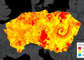
Scientists Map Wildfire Fuels Across Czech Republic at 30-Meter Resolution
Researchers developed a 30-meter fuel model classification for the Czech Republic, revealing that existing coarse European fuel maps substantially understate ...
Researchers developed a 30-meter fuel model classification for the Czech Republic, revealing that existing coarse European fuel maps substantially understate ...
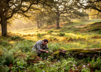
A survey of 100 managed oak stands in southwestern Poland found that habitat and landscape variables, especially soil fertility and ...

A new GIS-based survey maps 115 sedge taxa across Azerbaijan's landscapes and links their moisture-sensitive distribution to interannual temperature and ...

An observational study in nine Yunnan karst prefectures found seasonally distinct, scale-dependent associations between human pressure and ecosystem resilience rather ...
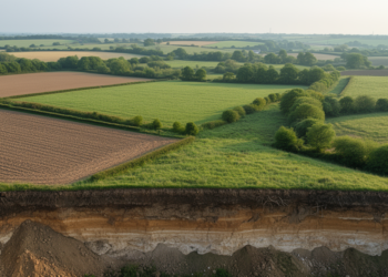
A Lithuanian study maps how intensive farming aligns with landscape zones that regulate erosion, water movement, nutrients and soil organic ...
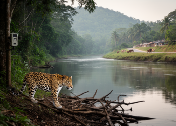
A review of 95 studies from 1980–2021 maps the environmental and anthropogenic variables used in jaguar occurrence models and shows ...
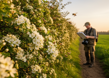
A modelling study in northern Germany shows that including hedgerows and other linear semi-natural elements in green infrastructure planning raises ...
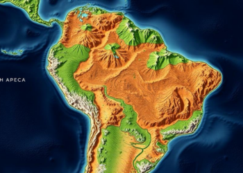
For more than half a century, the way ecologists carve up South America into biomes has rested on a deceptively ...

A new study from Papua New Guinea reveals that the diversity of flowers in tropical landscapes directly shapes the fatty ...
A new theoretical study shows that weak dispersal and larger landscapes inevitably increase local biodiversity in competitive metacommunities, a prediction ...


Embark on a thrilling journey of discovery with Scienmag.com—your ultimate source for cutting-edge breakthroughs. Immerse yourself in a world where curiosity knows no limits and tomorrow’s possibilities become today’s reality!