


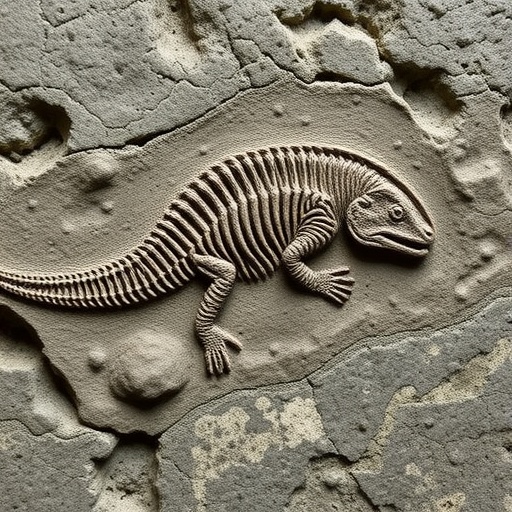
A fossil’s location today tells only part of its story. Reconstructing where that same specimen sat hundreds of millions of years ago requires careful plate-tectonics calculations—tasks that typically demand specialized software, technical expertise, and time. For the public and non-specialist researchers, that barrier has often limited access to high-quality palaeogeographic reconstructions.
Now, researchers at the University of Barcelona’s BIOST3 Research Group have built an open-access web interface designed to make this process fast, transparent, and reproducible. The tool, the Paleocoordinates Calculator (PACA), converts present-day geographic coordinates into palaeocoordinates by using state-of-the-art plate tectonics models—without requiring installations or coding skills.
PACA is presented in a new article in Scientific Reports. The authors—Noa Scholz-Murcia, Alejandro Rodríguez-Mena, Víctor Madarnás-Gómez, and Antonio Monleón-Getino—developed a workflow that starts with simple inputs: users upload a CSV containing modern latitude/longitude pairs and the geological age of the find. In seconds, PACA returns the reconstructed palaeocoordinates.
What makes PACA particularly useful for “real-world” studies is its built-in treatment of uncertainty. Instead of relying on a single tectonic history, the interface runs up to five global plate models and automatically computes variability metrics, including palaeolatitudinal ranges and maximum distances (in kilometres) between model predictions. This helps users quantify how sensitive their results are to tectonic assumptions.
At the technical core, PACA is built around the R package palaeoverse, which connects directly to the GPlates web service. The web platform is therefore closely aligned with established scientific reconstruction pipelines, while still offering a beginner-friendly experience.
To bridge reconstructed points and interpretation, PACA exports tables suitable for statistical analyses and provides an interactive 3D viewer built with React and Blender. It projects calculated locations onto palaeogeographic maps from the PALEOMAP Project, developed by geographer Christopher Scotese and updated for the International Chronostratigraphic Table.
Crucially, the team reports that replacing traditional desktop workflows does not compromise accuracy. Cross-validation using 142 reconstructions distributed globally showed an almost perfect mathematical equivalence, with an average spatial error under 17 metres, no systematic processing bias, and a concordance correlation coefficient (CCC) of 1.000 across all models.
The project is supported by the “Cretaceous Resin Interval” (CREI) initiative, funded by the Spanish Ministry of Science, Innovation and Universities, and coordinated by Antonio Monleón-Getino and Xavier Delclòs. By lowering technical barriers, PACA aims to turn palaeogeographic reconstruction into a tool for education, research, and rapid exploration—setting the stage for viral, shareable science news across classrooms and labs alike.
Cite Scienmag News
Violet Maxwell. (July 26, 2026). Ancient Fossil Reveals Where It Lived 200 Million Years Ago. Scienmag. https://scienmag.com/ancient-fossil-reveals-where-it-lived-200-million-years-ago/
Violet Maxwell. "Ancient Fossil Reveals Where It Lived 200 Million Years Ago." Scienmag, 26 July 2026, https://scienmag.com/ancient-fossil-reveals-where-it-lived-200-million-years-ago/. Accessed 3 September 2026.
Violet Maxwell. "Ancient Fossil Reveals Where It Lived 200 Million Years Ago." Scienmag. July 26, 2026. https://scienmag.com/ancient-fossil-reveals-where-it-lived-200-million-years-ago/


