


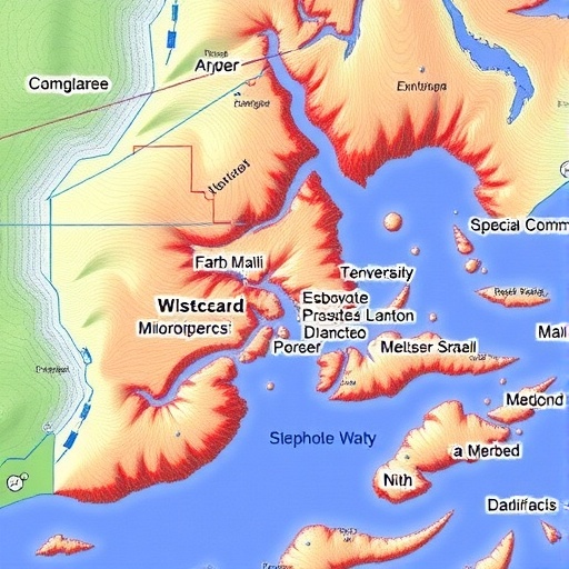
A groundbreaking collaboration between William & Mary’s Virginia Institute of Marine Science (VIMS), its Batten School of Leadership and Public Policy, and the National Oceanic and Atmospheric Administration (NOAA) is revolutionizing coastal bathymetric data collection by leveraging routine commercial fishing activities and derelict crab trap removal efforts. This partnership transforms traditional challenges in marine debris management into an opportunity to enhance detailed seafloor mapping in shallow coastal waters.
Bathymetry, the study of underwater depth and the topographic features of the seafloor relative to a known elevation, is critical for a myriad of scientific and practical applications. From coastal resilience planning and storm surge forecasting to habitat mapping and navigational safety, accurate bathymetric data underpin many efforts to understand and protect vulnerable coastal regions. Yet, shallow areas, particularly those less than six feet deep, have historically been poorly mapped due to the technical and financial barriers posed by conventional surveying methods.
Identified by NOAA and the International Hydrographic Organization as a “Trusted Node,” VIMS and the Batten School are now recognized as reliable collaborators capable of collecting, processing, and submitting high-quality bathymetric datasets for public use. This rare designation, shared by only 16 organizations worldwide, underscores the project’s credibility and potential impact.
Building upon the Shallow-Water Hydrographic Observation and Assessment Logging (SHOWAL) program operated by VIMS’ Center for Coastal Resources Management (CCRM), the team has integrated bathymetric data collection into the National Trap Removal, Assessment & Prevention (TRAP) Program. Funded by a 2023 NOAA Marine Debris Program grant, TRAP outfits commercial fishers with side-scan sonar technology to locate and remove derelict crab traps in the Chesapeake Bay and along Virginia’s Eastern Shore during off-seasons. This approach provides watermen with supplementary income while generating a wealth of new, granular bathymetric data.
These sonar-equipped commercial vessels gather millions of new depth data points at minimal additional cost, largely by repurposing data initially collected during trap removal operations. The amassed information fills critical gaps in shallow coastal bathymetry, offering insight into dynamic seafloor environments that were previously inaccessible or uneconomical to survey.
NOAA’s Office of Coast Survey highlights the transformative potential of engaging commercial mariners in real-time mapping efforts. By incorporating their expertise and presence directly into data acquisition, the program enables the timely detection of seafloor changes that influence coastal models and improve the accuracy of nautical charts crucial for safe navigation.
The bathymetric data sets produced by this initiative are systematically processed and made publicly available through NOAA’s National Centers for Environmental Information Bathymetric Data Portal. Coastal managers, researchers, and regulatory agencies can access these datasets to bolster decision-making concerning environmental protection, hazard mitigation, and maritime commerce.
Interest in the dataset has already extended beyond NOAA and VIMS, with the U.S. Geological Survey’s Coastal National Elevation Database Applications Project exploring integration of the new data into high-resolution topobathymetric models. This advancement promises enhanced predictive capabilities for the Chesapeake Bay region’s complex estuarine system.
This innovative, cost-effective crowdsourcing model points the way toward expansive, community-based ocean mapping programs nationwide, demonstrating how synergy between research institutions, government agencies, and commercial stakeholders can address pressing environmental challenges while unlocking vital scientific datasets.
Cite Scienmag News
Violet Maxwell. (July 14, 2026). W&M, NOAA Collaborate to Enhance Chesapeake Bay Shallow Water Mapping Data. Scienmag. https://scienmag.com/wm-noaa-collaborate-to-enhance-chesapeake-bay-shallow-water-mapping-data/
Violet Maxwell. "W&M, NOAA Collaborate to Enhance Chesapeake Bay Shallow Water Mapping Data." Scienmag, 14 July 2026, https://scienmag.com/wm-noaa-collaborate-to-enhance-chesapeake-bay-shallow-water-mapping-data/. Accessed 4 September 2026.
Violet Maxwell. "W&M, NOAA Collaborate to Enhance Chesapeake Bay Shallow Water Mapping Data." Scienmag. July 14, 2026. https://scienmag.com/wm-noaa-collaborate-to-enhance-chesapeake-bay-shallow-water-mapping-data/


