


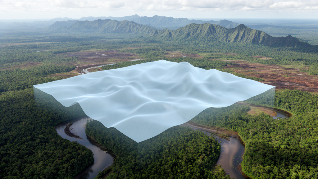
A regional geoid study across Kalimantan, Indonesia, found that treating residual terrain effects in three different ways produced nearly identical GNSS-levelling validation accuracy, yet generated local differences exceeding 10 cm and approaching 30 cm. The results indicate that conventional accuracy statistics alone can conceal meaningful spatial variations in high-resolution geoid models, particularly near coasts and in areas with strong topographic or bathymetric changes.
The research compared three modelling treatments within the Remove-Compute-Restore framework: a land-sea residual terrain model incorporating Residual Elevation Terrain data, a land-only model, and a model with no residual terrain modelling. Each approach produced a regional geoid solution that was evaluated through GNSS-levelling observations, direct spatial comparisons among the solutions and latitudinal transects. After datum fitting and removal of outliers, all three models achieved comparable results, with residual standard deviations of approximately 5 cm. In other words, adding, restricting or omitting the residual terrain correction did not create a clear advantage in the study’s overall validation statistics.
That apparent equivalence did not mean the models represented the geoid identically. Spatial comparisons showed local differences of more than 10 cm and reaching approximately 30 cm in areas marked by pronounced variations in topography and bathymetry. The largest contrasts were especially associated with coastal zones. Such differences matter because the geoid is the physical reference surface used in height systems, including transformation of GNSS-derived heights and the realization of vertical datums. A model can therefore retain similar aggregate performance while placing the reference surface differently at particular locations.
The land-sea treatment also revealed a systematic distance effect. The marine contribution from residual terrain modelling diminished inland, but an influence greater than 1 mm remained detectable to about 45 km under the modelling configuration adopted by the researchers. This finding shows that the terrestrial footprint of the correction was not confined to the shoreline. The spatial comparisons and transects captured variation that was not apparent from GNSS-levelling validation alone, suggesting that complementary analyses are needed when assessing residual terrain modelling in regional geoid work.
The researchers tested the robustness of the approach by repeating the analysis with an explicitly band-limited RET2014 reference surface. The residual terrain gravity correction remained highly consistent under that alternative configuration, supporting the stability of the reported treatment within the study’s modelling framework. The evidence does not establish that all terrain-correction methods are interchangeable or that the observed local discrepancies are operationally significant at every site. Instead, it identifies a limitation of relying only on conventional GNSS-levelling checks: similar validation accuracy can coexist with measurable local shifts in the modelled geoid. For high-resolution applications over heterogeneous land and marine terrain, the study supports evaluating these effects through spatial analysis as well as point-based validation.
Subject of Research: Effects of residual terrain modelling treatments on regional geoid models in Kalimantan, Indonesia
Article Title: Investigations of residual terrain model effects on geoid modelling in Kalimantan, Indonesia
Article References: Pahlevi, A. M., Bramanto, B., Wijaya, D. D., Sarsito, D. A., Amrosalma, H., Maharazi, R., Pratama, M. A. H., Syafarianty, A. N., Putra, W., Illahi, R., & Widyantoro, B. T. (2026). Investigations of residual terrain model effects on geoid modelling in Kalimantan, Indonesia. Earth Science Informatics, 19(12), Article 219. https://doi.org/10.1007/s12145-026-02277-6
Image Credits: AI Generated
DOI: 10.1007/s12145-026-02277-6
Keywords: geoid modelling, residual terrain effects, Kalimantan, GNSS levelling, vertical datum, coastal gravity, remove-compute-restore, height systems, spatial model differences, Investigations, residual, terrain
Cite Scienmag News
Violet Maxwell. (October 20, 2026). Terrain corrections reveal hidden geoid variations across Kalimantan. Scienmag. https://scienmag.com/terrain-corrections-reveal-hidden-geoid-variations-across-kalimantan/
Violet Maxwell. "Terrain corrections reveal hidden geoid variations across Kalimantan." Scienmag, 20 October 2026, https://scienmag.com/terrain-corrections-reveal-hidden-geoid-variations-across-kalimantan/. Accessed 20 October 2026.
Violet Maxwell. "Terrain corrections reveal hidden geoid variations across Kalimantan." Scienmag. October 20, 2026. https://scienmag.com/terrain-corrections-reveal-hidden-geoid-variations-across-kalimantan/


