

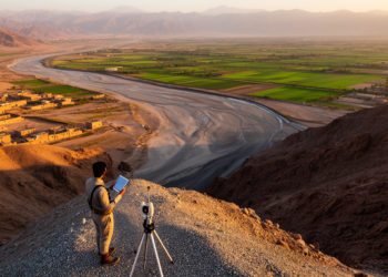
Geospatial models map groundwater recharge potential across Pakistan’s Pishin River Basin
A remote sensing and multi-criteria modeling study mapped groundwater recharge potential across Pakistan's Pishin River Basin, with the fuzzy AHP ...
A remote sensing and multi-criteria modeling study mapped groundwater recharge potential across Pakistan's Pishin River Basin, with the fuzzy AHP ...
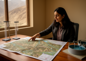
A new study combines fuzzy analytical hierarchy processing with GIS to map rainwater harvesting suitability across selected districts of Khyber ...
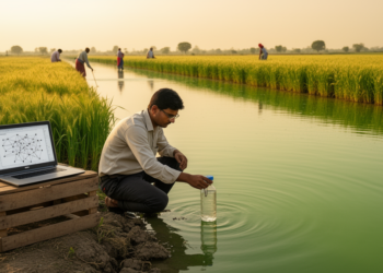
A sixteen-year study of Punjab's Satluj and Beas rivers found Random Forest regression predicted the drinking water quality index with ...
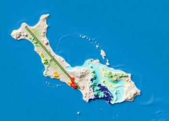
A revised water-footprint model estimated human water appropriation across south-central Chile at about 5 billion cubic metres per year, 2.7 ...

A bibliometric review of 3,280 Scopus-indexed articles published from 2015 to 2025 maps rapid growth, leading contributors and major themes ...
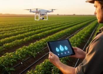
An Indian research team has built an edge-cloud irrigation system that combines ultra-low-power soil sensors, Gaussian differential privacy, and ensemble ...

A new PLOS Water analysis of Ramsar COP15 outcomes argues that integrating freshwater biodiversity with public health and WASH systems ...
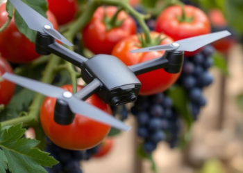
A new study in Plants, People, Planet shows that sensor-based irrigation and drone monitoring saved up to 15 percent of ...

A new Nature Water comment article argues that strengthening public understanding of how water, wastewater and stormwater systems work, termed ...

A Nature Water commentary argues that the overlooked urban water workforce is a decisive determinant of city water security.


Embark on a thrilling journey of discovery with Scienmag.com—your ultimate source for cutting-edge breakthroughs. Immerse yourself in a world where curiosity knows no limits and tomorrow’s possibilities become today’s reality!