

Satellite Radar Verdict Overturned: Gulf Coast Sinking Maps Survive Scathing Audit
A new comment paper argues that a critique declaring satellite radar unreliable for measuring slow coastal subsidence was undermined by ...
A new comment paper argues that a critique declaring satellite radar unreliable for measuring slow coastal subsidence was undermined by ...
A 26-year analysis shows that upstream Everglades groundwater is driven by managed freshwater flows while coastal aquifers increasingly answer to ...
A 2,000-year record of North Carolina oyster reefs shows that accelerating sea-level rise triples reef accretion, yet the carbon dioxide ...
An international review of 80 scientists finds that poorly mapped Antarctic coastal conditions, from bed topography to sub-ice shelf cavities, ...
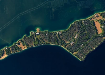
A new PLOS One study using AI analysis of satellite imagery finds North Carolina lost 21 percent of its coastal ...

New research shows that young coastal dune landscapes self-organize through phase-separation physics, revealing local tipping points beyond which damage to ...

A new inventory of benthic foraminifera from the Sundarbans and Budhabalanga mangrove ecosystems establishes a verified baseline for monitoring climate-driven ...
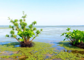
A sweeping review synthesises two decades of research showing how mangroves, salt marshes and seagrass meadows sequester carbon at extraordinary ...
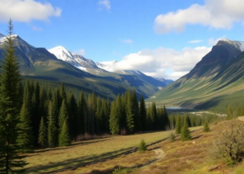
More than two dozen University of Victoria researchers helped produce Canada's Changing Climate Report 2026, the country's most comprehensive assessment ...
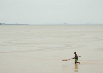
A new study of Gabura Union in coastal Bangladesh finds that while every surveyed household experienced climate-driven displacement, migration decisions ...


Embark on a thrilling journey of discovery with Scienmag.com—your ultimate source for cutting-edge breakthroughs. Immerse yourself in a world where curiosity knows no limits and tomorrow’s possibilities become today’s reality!