


Tourist Dollars Fuel Coastal Restoration in Tanzania—But Growth Has a Hidden Cost
An eleven-year Tanzanian study links surging ecotourism visitation to stronger restoration investment, while satellite data reveal that unmanaged growth still ...
An eleven-year Tanzanian study links surging ecotourism visitation to stronger restoration investment, while satellite data reveal that unmanaged growth still ...
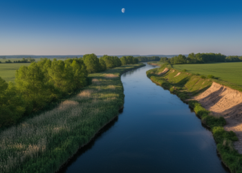
Canadian researchers have trained a multi-view convolutional neural network to assess riparian buffer strip quality directly from high-resolution satellite imagery, ...
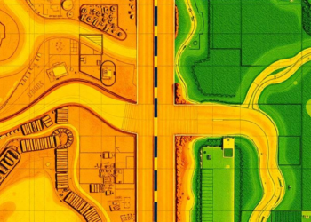
A deep learning analysis of Planet satellite imagery has classified the surface type and width of 9.2 million kilometers of ...
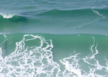
A new study of Morocco's Bouknadel–Mehdia coastline has identified more than thirty rip current cells, including a visually invisible boundary ...
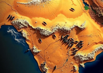
A satellite and GPS tracking study of a Gir cattle migration corridor in central India finds that dry, hot forage, ...
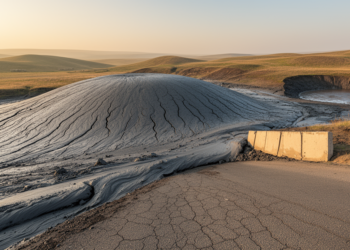
Satellite imagery reveals that nearly forty percent of Azerbaijan's surveyed mud volcanoes have kilometre-scale flows creeping slowly downslope like glaciers, ...
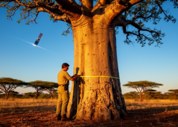
A new dataset of 3,493 measured trees across four African countries links satellite-observable crown sizes to trunk diameters, enabling carbon ...
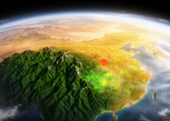
Researchers have built a rigorously verified dataset of 12,991 satellite-annotated samples documenting four decades of stable, disturbed and newly forested ...

Faint vegetation stripes in satellite images near Mannheim led researchers to hand-dug clay mines from 1865, hidden in a silted-up ...

A new Enhanced NDWI combined with a hybrid fusion technique reduces false alarms in satellite-based urban flood detection from 38 ...


Embark on a thrilling journey of discovery with Scienmag.com—your ultimate source for cutting-edge breakthroughs. Immerse yourself in a world where curiosity knows no limits and tomorrow’s possibilities become today’s reality!