

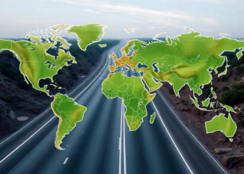
AI Maps and Classifies 9.2 Million Kilometers of the World’s Roads
Researchers at Heidelberg University and HeiGIT used artificial intelligence and PlanetScope satellite imagery to create an open-access dataset classifying more ...
Researchers at Heidelberg University and HeiGIT used artificial intelligence and PlanetScope satellite imagery to create an open-access dataset classifying more ...

A new satellite-based study finds that nearly a third of Ukrainian forest plots hosting distinct chaffinch song dialects have been ...
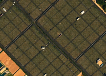
Researchers in Chongqing have developed a wavelet-guided deep learning framework that coordinates frequency-domain and spatial cues to sharply localize changes ...
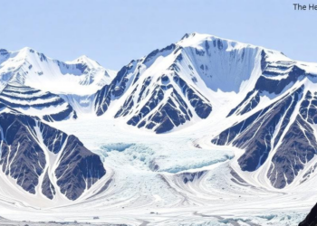
A systematic review of fifty studies shows glaciers across Uttarakhand retreating at rates from under 4 to 88 meters per ...
A three-year Georgia field study found that machine learning models fed PlanetScope satellite vegetation indices could not reliably predict peanut ...
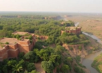
A 32-year satellite study combining remote sensing indices and multivariate statistics shows high-risk land degradation in India's Chambal region has ...
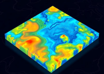
Researchers have built an AIoT-enabled urban platform that automatically detects floods from satellite imagery and maps impacts on suburbs, infrastructure, ...
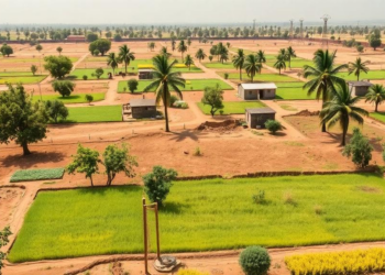
An open-source AI model developed at the University of Cambridge outperformed existing satellite crop mapping methods in Senegal's groundnut basin, ...
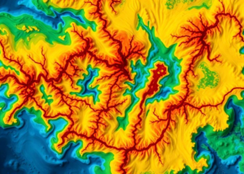
Researchers in China have developed a new two-dimensional nonlinear sine-sqrt-cubic hyperchaotic map that encrypts color remote sensing images with near-ideal ...
Researchers have combined singular value decomposition, a decision tree classifier, and a new Frequency Deviation Median Filter to remove salt-and-pepper ...


Embark on a thrilling journey of discovery with Scienmag.com—your ultimate source for cutting-edge breakthroughs. Immerse yourself in a world where curiosity knows no limits and tomorrow’s possibilities become today’s reality!