

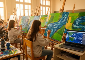
Satellite Images Become Art as Italian Students Turn Earth Data Into Paintings
A collaboration between an Italian art high school and CNR researchers shows how satellite imagery and environmental data can be ...
A collaboration between an Italian art high school and CNR researchers shows how satellite imagery and environmental data can be ...
A new harmonization-based super-resolution workflow shows that cross-sensor radiometric calibration, not network architecture, is the largest contributor to sharpening free ...

A comparative study of oriented YOLO detectors on very high-resolution satellite imagery shows that compact YOLO11 models outperform larger rivals ...
High-resolution satellite imagery reveals that tree cover on farmland in four districts of eastern Afghanistan expanded by about 36 percent ...
A newly released benchmark called WD-CD compiles nearly ten thousand high-resolution satellite image pairs from five wars across three continents ...
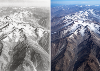
Declassified Cold War spy satellite imagery has allowed scientists to measure glacier mass loss in the Eastern Hindu Kush back ...
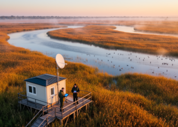
A new study shows that free satellite data from Copernicus, Landsat, and fire-detection services have replaced a century of sparse ...
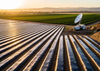
A new spectral classification of Sentinel-2 imagery maps dark and bright plastic mulch across a California agricultural hotspot with 98 ...
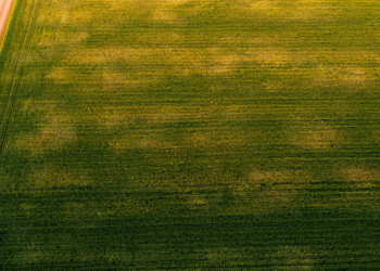
Researchers in Spain show that the standard deviation of satellite-derived NDVI, especially during crop senescence, offers a low-cost way to ...
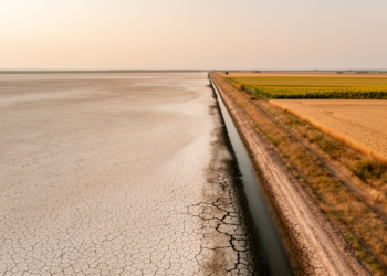
A new satellite-based machine learning study shows that irrigated farmland in Ukraine's Kherson and Zaporizhzhia oblasts has collapsed by about ...


Embark on a thrilling journey of discovery with Scienmag.com—your ultimate source for cutting-edge breakthroughs. Immerse yourself in a world where curiosity knows no limits and tomorrow’s possibilities become today’s reality!