

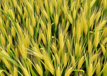
Deep learning model delivers early, honest crop yield forecasts for Germany
Researchers have developed CropFusionNet, an interpretable deep learning framework that forecasts wheat, barley, and maize yields across Germany with benchmark-beating ...
Researchers have developed CropFusionNet, an interpretable deep learning framework that forecasts wheat, barley, and maize yields across Germany with benchmark-beating ...
A comprehensive new review maps how deep learning can fuse social media and satellite data to make disaster response faster ...
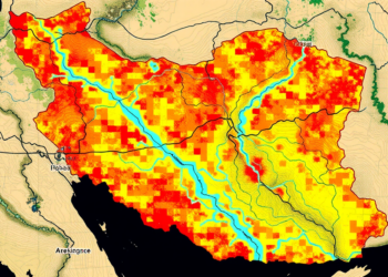
A new study shows that replacing conventional river networks with satellite-derived data significantly improves the accuracy of AHP-based flood hazard ...
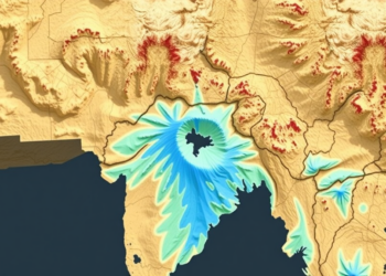
A new study combining geospatial analysis, machine learning and trend analysis maps groundwater potential and vulnerability across Jalpaiguri district in ...

A three-decade satellite analysis of Kakinada, India, shows industrial-driven urban sprawl expanding into low-lying delta zones that future sea-level rise ...
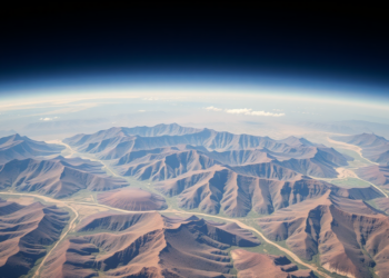
A thirty-year satellite analysis shows vegetation in Sudan's conflict-affected Jabel Marra highlands has grown significantly greener, driven mainly by precipitation ...
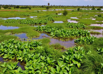
A new study finds Ghana's Ada-Songhor wetland lost 47 percent of its vegetation over three decades while state-community collaborations offer ...
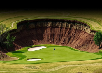
A combined satellite and field study at Penn State's Blue and White Golf Course reveals that course management practices, not ...

Researchers used OCO-2 satellite data and a LightGBM machine learning model to build the first daily, high-resolution global maps of ...

A 22-year Landsat analysis shows Jammu City's built-up area grew 75 percent while farmland and dense vegetation steadily vanished.


Embark on a thrilling journey of discovery with Scienmag.com—your ultimate source for cutting-edge breakthroughs. Immerse yourself in a world where curiosity knows no limits and tomorrow’s possibilities become today’s reality!