

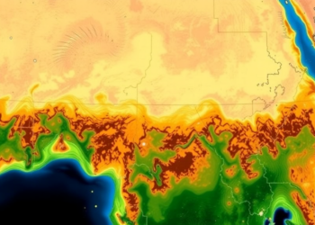
Satellites Reveal Hidden Grassland Collapse Across the Horn of Africa
A new satellite-based study fusing six vegetation indicators finds that roughly 30 percent of the Horn of Africa's grasslands are ...
A new satellite-based study fusing six vegetation indicators finds that roughly 30 percent of the Horn of Africa's grasslands are ...

A new random forest model with spatial cross-validation reveals that slope and topographic relief control landslide hazards along the Lhasa–Dingri ...
A comprehensive review shows that artificial intelligence, from hyperspectral sensing and climate-driven forecasting to autonomous drones and ground robots, is ...
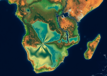
A new 1-kilometer grid-based screening framework links two decades of fine particulate pollution with satellite-derived water quality signals across the ...

A new dual-branch deep learning framework combining GAN-based super-resolution and transformer spectral modeling achieves over 99 percent accuracy classifying hyperspectral ...
University of Utah-led research shows satellite measurements of solar-induced fluorescence detected declining photosynthetic activity in Western U.S. forests two years ...
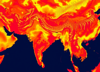
A 24-year satellite and machine learning study shows Bharatpur's heat island is expanding across the city rather than intensifying at ...
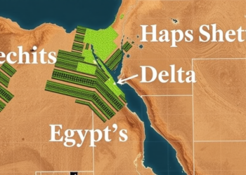
A feature-optimized machine learning framework using MODIS satellite data achieves highly accurate estimation of crop vegetation water stress in Egypt's ...

A comparative review finds that decades of built-up expansion have driven rising land surface temperatures in India's World Heritage Cities ...
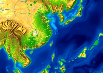
Version 2.1.1 of the open-source YOLO-MOD plugin lets QGIS users run their own trained YOLO models, edit detections interactively, and ...


Embark on a thrilling journey of discovery with Scienmag.com—your ultimate source for cutting-edge breakthroughs. Immerse yourself in a world where curiosity knows no limits and tomorrow’s possibilities become today’s reality!