

Decades of Data Reveal How Herbicides Really Fight Invasive Plants in a Tidal Estuary
A multi-year remote sensing analysis of California's Delta shows glyphosate and 2,4-D control invasive floating plants effectively only at high ...
A multi-year remote sensing analysis of California's Delta shows glyphosate and 2,4-D control invasive floating plants effectively only at high ...

Researchers in Morocco have built a real-time pipeline that combines a hybrid U-Net and SegFormer deep learning model with a ...

A 13-year study of the Kolkata Metropolitan Area links rapid densification and vegetation loss to rising land surface temperatures and ...
A Nature Food commentary argues that soil salinization imposes hidden costs by reducing nitrogen-use efficiency and increasing reactive-nitrogen losses, strengthening ...
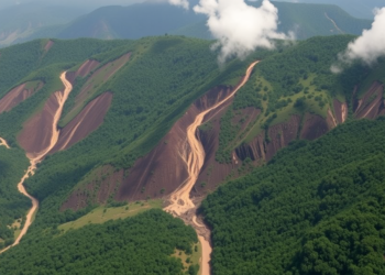
A ten-year, field-validated satellite inventory documents more than 2,000 landslides and a doubling of landslide-affected land in the mountainous South ...

A new study in the Brazilian Cerrado shows that the phenological stage at which satellite images are captured can be ...
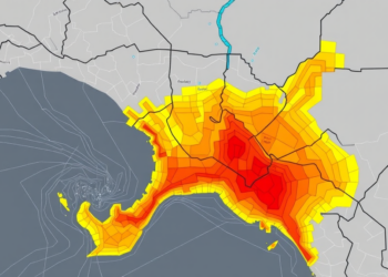
Researchers fused morphometric basin analysis with machine learning to map flood susceptibility across four Bayelsa State catchments, revealing hidden high-risk ...

Researchers have built and validated a Fire Susceptibility Index for Morocco's Lower Ziz Valley oases, showing that 42.7 percent of ...
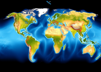
A new satellite-based method using GRACE-constrained GLDAS-CLSM data provides the first globally consistent estimate of groundwater recharge, totaling about 16,081.5 ...
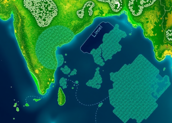
Researchers used Sentinel-2 satellite imagery and machine learning to detect and track persistent water hyacinth infestations in lakes across five ...


Embark on a thrilling journey of discovery with Scienmag.com—your ultimate source for cutting-edge breakthroughs. Immerse yourself in a world where curiosity knows no limits and tomorrow’s possibilities become today’s reality!