

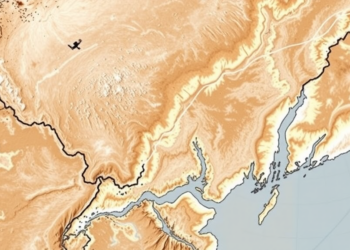
Satellites Reveal How Salt Is Quietly Reshaping China’s Yellow River Delta
A new satellite-based index that distinguishes salty from fresh soil moisture reveals four decades of hidden ecological change in the ...
A new satellite-based index that distinguishes salty from fresh soil moisture reveals four decades of hidden ecological change in the ...
A decade of Sentinel-1 radar and GPS data reveals that parts of Kenya's Nakuru County are sinking at nearly 29 ...
A twenty-year satellite analysis shows Brazil's Caatinga dry forest has kept its carbon and water balance stable despite warming, with ...
A Dartmouth-led analysis of four decades of Landsat imagery shows that 69 percent of alpine zones in the northern Appalachians ...
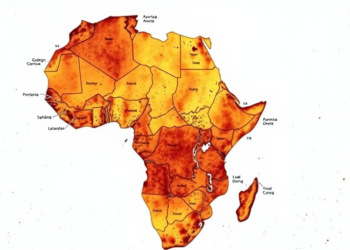
The first national-scale systematic review of Kenyan soil moisture research finds that remote sensing dominates the field while the drought-prone ...
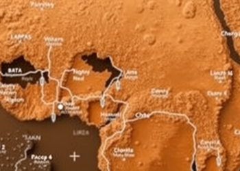
An integrated geophysical and GIS study has mapped groundwater potential across Nigeria's conflict-prone Benue Valley, identifying 417 square kilometers of ...
A new review maps how GIS, GPS, and remote sensing are transforming veterinary disease surveillance while exposing deep gaps in ...
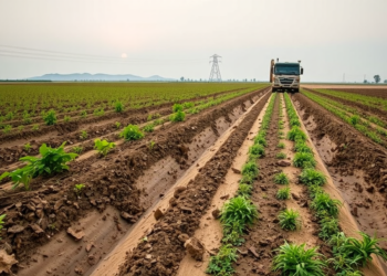
A global analysis of satellite cropland maps and over 460,000 conflict events shows that armed conflict caused disproportionate farmland loss ...
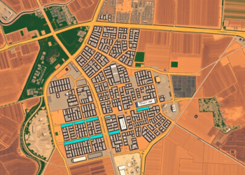
A twenty-year Landsat analysis of Adama, Ethiopia, shows built-up land surging 43 percent while wetlands vanished and rising minimum surface ...

A seven-year satellite and hydrodynamic record shows 93 overwash events driving a Brazilian sand spit barrier into landward rollover, reversing ...


Embark on a thrilling journey of discovery with Scienmag.com—your ultimate source for cutting-edge breakthroughs. Immerse yourself in a world where curiosity knows no limits and tomorrow’s possibilities become today’s reality!