


AI Maps Exactly How Far Urban Lakes Cool City Streets
A machine learning study of 25 lakes in Da Nang, Vietnam, quantifies urban lake cooling with SHAP interpretability, finding the ...
A machine learning study of 25 lakes in Da Nang, Vietnam, quantifies urban lake cooling with SHAP interpretability, finding the ...
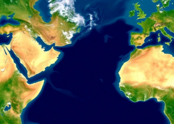
A University of Washington study shows NASA's SWOT satellite can monitor water levels in more than 85 percent of roughly ...
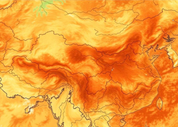
Scientists have fused three satellite-based drought indicators into a single comprehensive index that accurately tracks soil moisture across China's Loess ...
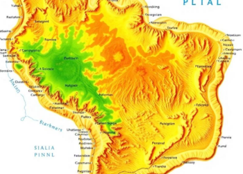
Researchers combined terrain, climate, and location data with a random forest algorithm on Google Earth Engine to map the Caatinga ...

A three-year study in a Japanese forest shows that 3-meter-resolution PlanetScope satellite imagery, validated against drone and ground observations, can ...
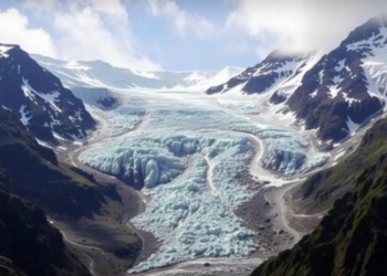
A new study of the Baspa Basin in the Indian Himalaya quantifies nearly three decades of continuous glacier mass loss ...

A new burst-level parallel processing framework lets standard personal computers run wide-area Sentinel-1 time-series InSAR, revealing coal-mining-induced subsidence across Jining ...
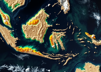
By combining ground gravity measurements with Landsat satellite imagery, Indonesian researchers have mapped the fault networks, fluid-filled low-density zones, and ...
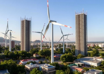
A new study of 129 Brazilian municipalities finds that wind and solar power development is statistically linked to urban expansion ...

A feasibility study on Italy's Po Delta combined bridge cameras, drones, satellites, ship sampling and hydrodynamic modelling to track plastic ...


Embark on a thrilling journey of discovery with Scienmag.com—your ultimate source for cutting-edge breakthroughs. Immerse yourself in a world where curiosity knows no limits and tomorrow’s possibilities become today’s reality!