


Rubber Vine Surge Along South African River Exposed by Drone and Ground Surveys
A decade-long study on South Africa's Mogalakwena River shows invasive rubber vine density has risen sharply and finds that drone ...
A decade-long study on South Africa's Mogalakwena River shows invasive rubber vine density has risen sharply and finds that drone ...

A seventeen-year satellite analysis of four restoration sites in southern Mozambique shows modest mangrove gains in Limpopo, Belavista and Tembe ...

A satellite analysis of 456 green patches in Lucknow, India, shows that urban cooling rises with patch size up to ...
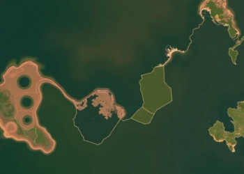
A 25-year satellite analysis of the China–Russia Xingkai Lake Basin reveals a 44.9 percent wetland loss, a 16.5 percent decline ...

A new study of 107 auto-rickshaw drivers in Satara, India, documents widespread heat-related illness and income loss, revealing how economic ...
A 24-year satellite analysis of the Beijing–Tianjin–Hebei region shows urban blue spaces shrinking and fragmenting, with population and vegetation factors ...
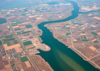
A three-decade satellite analysis of India's Suti River Basin shows fallow land collapsing from over half the catchment to a ...

A two-decade machine-learning analysis of Landsat imagery shows vegetation cover in Malawi's Chia Lagoon catchment fell by 189 square kilometres ...
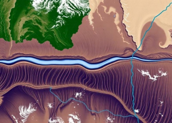
A thirty-year satellite and bathymetric analysis shows Bangladesh's Jamuna River eroded about 55,436 hectares while accreting 53,496 hectares, migrating eastward ...

Researchers have developed S²DNet, a dynamic spectral–structural framework that adapts feature extraction and fusion to each scene, improving remote sensing ...


Embark on a thrilling journey of discovery with Scienmag.com—your ultimate source for cutting-edge breakthroughs. Immerse yourself in a world where curiosity knows no limits and tomorrow’s possibilities become today’s reality!