

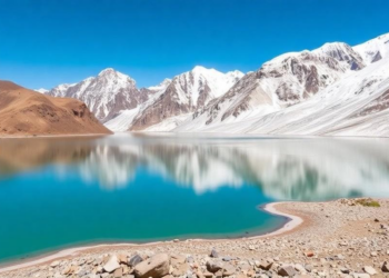
Himalayan Glacial Lakes Triple in Number as Warming Reshapes the Upper Indus Basin
An automated satellite analysis using Google Earth Engine reveals that glacial lakes in the Upper Indus Sub-Basin tripled from 255 ...
An automated satellite analysis using Google Earth Engine reveals that glacial lakes in the Upper Indus Sub-Basin tripled from 255 ...
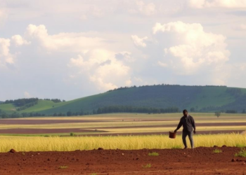
A new satellite-based modeling study shows that widespread soil and water conservation could nearly halve severe soil loss in Ethiopia's ...
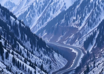
A new AHP-based landslide susceptibility map of the Solan-Shimla highway in Himachal Pradesh identifies the most dangerous slopes along a ...
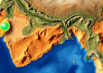
Researchers at the Indian Institute of Remote Sensing used a random forest model to downscale GRACE satellite gravity data, revealing ...
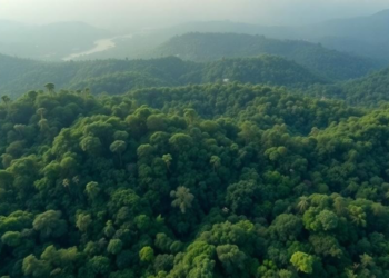
A new commentary in Nature Ecology & Evolution argues that Lidar mapping of tropical forests can reinforce inequalities in knowledge, ...

A nationwide German study finds that neighborhoods with higher shares of non-German residents experience significantly warmer nighttime temperatures, revealing demographic ...
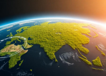
A new deep learning and ensemble learning framework reaches up to 93.04% accuracy in estimating aboveground biomass across three contrasting ...
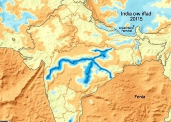
Researchers in Maharashtra combined GIS mapping with conventional and fuzzy multi-criteria methods to delineate groundwater potential zones in drought-prone Baramati ...
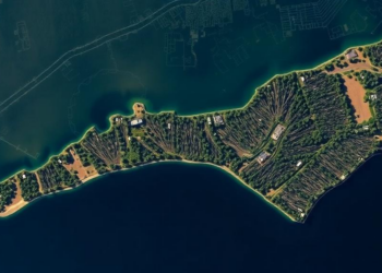
A new PLOS One study using AI analysis of satellite imagery finds North Carolina lost 21 percent of its coastal ...
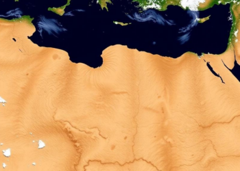
A 21-year satellite analysis of northwestern Algeria shows significant drying across all rainfall timescales since 2015, with vegetation health declining ...


Embark on a thrilling journey of discovery with Scienmag.com—your ultimate source for cutting-edge breakthroughs. Immerse yourself in a world where curiosity knows no limits and tomorrow’s possibilities become today’s reality!