

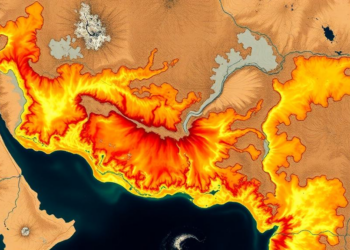
Satellites and Machine Learning Map Soil Erosion Hotspots in a Drought-Hit Indian River Basin
A new RUSLE-GIS study maps soil erosion across India's drought-prone Jonk River Basin with 97 percent accuracy, identifying steep, unprotected ...
A new RUSLE-GIS study maps soil erosion across India's drought-prone Jonk River Basin with 97 percent accuracy, identifying steep, unprotected ...
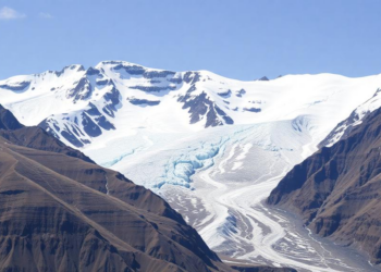
A three-decade satellite and field assessment shows glaciers in Ladakh's Doda sub-basin losing area, thinning rapidly and decelerating, with lake-terminating ...
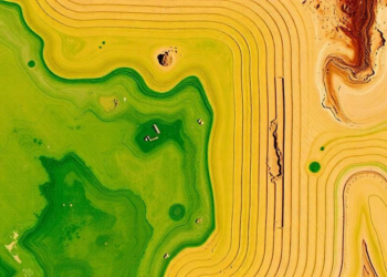
Chinese researchers have developed an attention-based stacking ensemble that reads Landsat 9 imagery to predict soil organic carbon more accurately ...
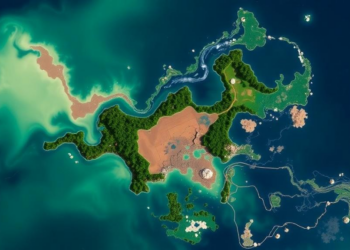
A 32-year spatial analysis shows that high water regulation capacity on Sulawesi Island fell from 59.5 percent of the land ...
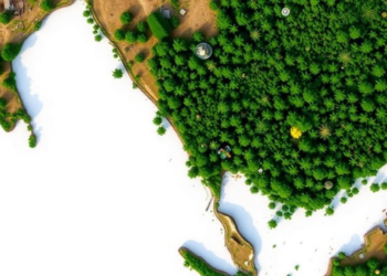
A satellite and machine learning study finds Southeast Asia lost about 59 percent of its intact forests between 2000 and ...
A first-of-its-kind systematic review of 190 studies finds that HASM, Euclidean-enhanced machine learning, and Bayesian Maximum Entropy each excel under ...

A grid-based analysis of the entire contiguous United States shows that population density, not city size, drives sub-linear scaling of ...

A study of over 181,000 Medicare beneficiaries in Miami-Dade County shows that the link between satellite-measured neighborhood greenness and Alzheimer's ...
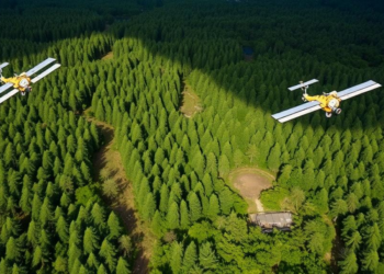
A 30-year satellite analysis of Assam's Amchang Wildlife Sanctuary reveals that dense forest cover has fallen by more than half ...

A new SARIMA-based forecasting framework using two decades of MODIS satellite data projects that India's mangrove vegetation will continue a ...


Embark on a thrilling journey of discovery with Scienmag.com—your ultimate source for cutting-edge breakthroughs. Immerse yourself in a world where curiosity knows no limits and tomorrow’s possibilities become today’s reality!