

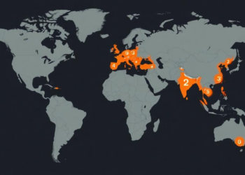
New Global Disaster Map Pinpoints 14 Hotspots Where Catastrophes Keep Striking
A new grid-based Accumulated-Event Risk Indicator built from a decade of EM-DAT records identifies 14 global disaster hotspots concentrated in ...
A new grid-based Accumulated-Event Risk Indicator built from a decade of EM-DAT records identifies 14 global disaster hotspots concentrated in ...

A new analysis of 9,740 marine protected area zones across 15 countries finds that vague regulatory language, not technology, is ...
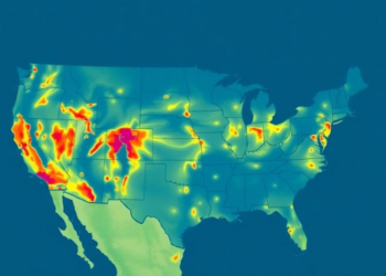
A new LSTM-based dataset called MemoryFlux maps two decades of net ecosystem CO2 exchange across North America with unprecedented fidelity, ...

Researchers in Patagonia have shown that a simple logistic regression model using weather station data and the Southern Annular Mode ...

A two-decade satellite and machine learning study shows Chennai's urban heat island intensity doubled as built-up area surged by more ...
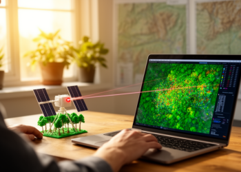
An open-source QGIS plugin called GEDIMetrics now automates the discovery, filtering, and fusion of NASA's GEDI spaceborne LiDAR products, making ...
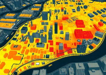
A new bibliometric review of 1,000 papers published between 2005 and 2024 maps how research on urban morphology and the ...
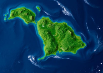
A two-year validation study in Trinidad's Northern Range shows that the IMERG satellite product detects far more rainfall events and ...
A GIS and Analytic Hierarchy Process study of Pozhuthana Grama Panchayath in Kerala's Wayanad district has produced a flood hazard ...
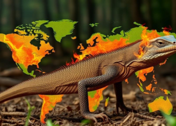
A new machine-learning study maps Komodo dragon habitat suitability and wildfire risk across Komodo National Park, revealing that five percent ...


Embark on a thrilling journey of discovery with Scienmag.com—your ultimate source for cutting-edge breakthroughs. Immerse yourself in a world where curiosity knows no limits and tomorrow’s possibilities become today’s reality!