


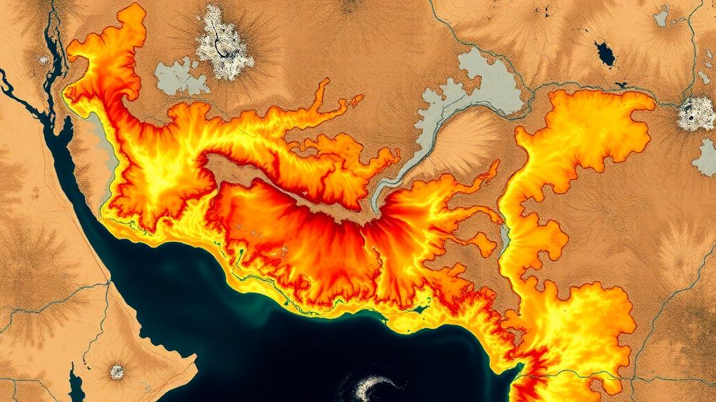
India loses an estimated 5,334 million tonnes of soil every year, an average of 16.4 tonnes per hectare, most of it washed away by water. In the drought-prone Jonk River Basin, a tributary of the Mahanadi in eastern India, researchers have now produced the first detailed, spatially explicit map of where that loss is happening and why. The study, published in Discover Soil, combines the Revised Universal Soil Loss Equation (RUSLE) with geographic information systems, satellite remote sensing, and statistical computing in the R programming language to deliver a basin-wide picture of erosion risk at a resolution fine enough to guide conservation work on the ground.
The Jonk drains roughly 3,454 square kilometres across five districts in Chhattisgarh and Odisha, spanning the Sunabeda plateau and gently sloping central plains. The National Bureau of Soil Survey and Land Use Planning has long classified the basin as severely to very severely vulnerable to erosion, yet no previous study had quantified erosion across its eight sub-basins. The region is also climatically paradoxical: although it sits under a tropical monsoon regime receiving 1,221 to 1,257 millimetres of rain annually, about 80 percent falls within the southwest monsoon, and parts of the basin were placed under the Drought Prone Area Development Programme after the 2002 drought. Prolonged dry spells harden and crust the soil, so when intense rains finally arrive, runoff surges over impermeable ground and strips away topsoil with unusual efficiency.
To model this, the team assembled five RUSLE input layers. Rainfall erosivity was computed from 39 years of NASA POWER precipitation data retrieved through an application programming interface and interpolated with kriging, using Arnoldus’s empirical formula because India lacks the high-temporal-resolution records needed for the original EI30 index. Soil erodibility came from the FAO global soil database, with texture and organic carbon converted into K values using Williams’s equations. The topographic LS factor was derived from a 30-metre SRTM digital elevation model in SAGA GIS, applying the Desmet and Govers method with a multiple-flow-direction algorithm to capture runoff dispersion across the dissected plateau terrain. Vegetation cover was expressed through NDVI calculated from Landsat 9 imagery, and the conservation practice factor was assigned by combining a 2022 land-use map, classified in Google Earth Engine with K-means clustering, against slope classes.
The land-cover classification itself was carefully validated. Using 210 field GPS points and high-resolution Google Earth imagery, the team achieved an overall accuracy of 95.71 percent with a kappa coefficient of 0.94, strong agreement for a heterogeneous landscape where open forest, cropland, and settlements can be spectrally confusable. Once all five factors were multiplied pixel by pixel, the model produced annual soil-loss estimates ranging from negligible values to 137.5 tonnes per hectare per year in the worst zones.
The headline finding is that 4.81 percent of the basin falls into moderate to very high erosion risk classes, with losses between 55 and 137.5 tonnes per hectare per year. Most of the basin, about 86 percent, sits in the very low category, but the hotspots are strikingly concentrated. Sub-basin SB-8, in the south near the Sunabeda plateau, emerges as the most erosion-prone area, contributing the largest shares of every high-loss category, a consequence of its moderately to highly dissected plateau terrain of hills and valleys that accelerates runoff and sediment transport. Sub-basin SB-3 follows with roughly 3 percent of its area under high erosion, while SB-5, with stable terrain and better vegetation cover, records the lowest risk, with 96.75 percent of its area losing less than 27.5 tonnes per hectare per year.
Perhaps the most revealing part of the study is its statistical dissection of which factors actually drive the erosion. Pearson correlation analysis showed the slope length and steepness factor had by far the strongest positive relationship with soil loss, a coefficient of 0.705, while rainfall erosivity, despite its high magnitude, correlated only weakly at minus 0.065. A Random Forest regression trained on 10,000 sampled pixels confirmed this hierarchy: the LS factor accounted for about 31.37 percent of model importance, followed by the conservation practice factor at 25.07 percent, soil erodibility at 17.61 percent, and rainfall erosivity and cover management trailing at roughly 13 percent each. In other words, it is not how much rain falls but where it falls on steep, unprotected slopes that determines whether soil stays or goes.
Validation was unusually rigorous for a RUSLE study. The team surveyed 24 field-verified erosion sites, identified by rills, gullies, sheet-erosion features, sediment deposits, and exposed topsoil, and overlaid them on the predicted risk map. A Receiver Operating Characteristic analysis yielded an Area Under the Curve of 0.97, placing the model in the excellent discrimination category and confirming that it reliably separates erosion-prone from stable ground. Field photographs documented hardened lateritic Murrum soil and exposed roots in the upper reaches, matching the modelled hotspots in SB-8 and SB-1.
The study also exposes management gaps that statistics alone cannot capture. Field observations revealed widespread paddy and cotton monocropping in a drought-prone basin, a practice that depletes nutrients, and puddling for paddy that compacts soil and forms hardpans, reducing infiltration so that monsoon downpours generate rapid runoff and erosion. Cross-border dynamics compound the problem: Chhattisgarh’s rice-bowl economy shapes cropping calendars, seed supply, and procurement policies across the state line in western Odisha, locking farmers into water-intensive rice even where millets, pulses, and oilseeds would be more resilient. Exposed slopes lack gabion walls, slope netting, or vegetative stabilization, leaving them open to rill and gully formation.
The authors propose a layered response: jute geotextiles and coir logs on steep slopes, deep-rooted grasses such as vetiver and Bermuda to bind topsoil, mulching to shield bare ground, and micro-watershed structures including check dams, farm ponds, percolation tanks, and contour bunding, some of which already exist in the basin. They also recommend shifting toward drought-tolerant, diversified cropping with efficient irrigation such as alternate wetting and drying in rice. The researchers are candid about limitations: no sediment-discharge data exist at the basin’s gauge station for numerical calibration, the FAO soil data are coarser than the DEM, satellite rainfall products can miss localized extremes, and the P factor relies on generalized slope-land-use assignments. They therefore present the estimates as indicative risk rather than absolute values. Even so, with an AUC of 0.97 and field-confirmed hotspots, the framework offers a reproducible, scalable template for prioritizing conservation in the many semi-arid basins where every tonne of topsoil lost is a tonne of future harvest gone.
Subject of Research: Spatial assessment of soil erosion using RUSLE, GIS and machine learning in the drought-prone Jonk River Basin of eastern India
Article Title: Integration of geospatial techniques and soil loss modelling for soil conservation in a drought prone river basin of eastern India
Article References: Shiwani, K., Maury, C., Rawat, R., & Singh, A. (2026). Integration of geospatial techniques and soil loss modelling for soil conservation in a drought prone river basin of eastern India. Discover Soil, 3(1), Article 101. https://doi.org/10.1007/s44378-026-00259-0
Image Credits: AI Generated
DOI: 10.1007/s44378-026-00259-0
Keywords: soil erosion, RUSLE, GIS, remote sensing, Jonk River Basin, Mahanadi, Random Forest, drought, soil conservation, watershed management, NDVI, ROC analysis
Cite Scienmag News
Violet Maxwell. (October 7, 2026). Satellites and Machine Learning Map Soil Erosion Hotspots in a Drought-Hit Indian River Basin. Scienmag. https://scienmag.com/satellites-and-machine-learning-map-soil-erosion-hotspots-in-a-drought-hit-indian-river-basin/
Violet Maxwell. "Satellites and Machine Learning Map Soil Erosion Hotspots in a Drought-Hit Indian River Basin." Scienmag, 7 October 2026, https://scienmag.com/satellites-and-machine-learning-map-soil-erosion-hotspots-in-a-drought-hit-indian-river-basin/. Accessed 7 October 2026.
Violet Maxwell. "Satellites and Machine Learning Map Soil Erosion Hotspots in a Drought-Hit Indian River Basin." Scienmag. October 7, 2026. https://scienmag.com/satellites-and-machine-learning-map-soil-erosion-hotspots-in-a-drought-hit-indian-river-basin/


