

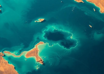
AI Maps the Seafloor of Egypt’s Largest Lagoon From Space With Centimeter Precision
Egyptian researchers used Landsat 8 imagery and machine learning to map the bathymetry of Manzala Lagoon with centimeter-level accuracy, identifying ...
Egyptian researchers used Landsat 8 imagery and machine learning to map the bathymetry of Manzala Lagoon with centimeter-level accuracy, identifying ...
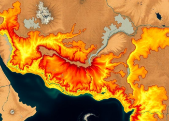
A new RUSLE-GIS study maps soil erosion across India's drought-prone Jonk River Basin with 97 percent accuracy, identifying steep, unprotected ...


Embark on a thrilling journey of discovery with Scienmag.com—your ultimate source for cutting-edge breakthroughs. Immerse yourself in a world where curiosity knows no limits and tomorrow’s possibilities become today’s reality!