


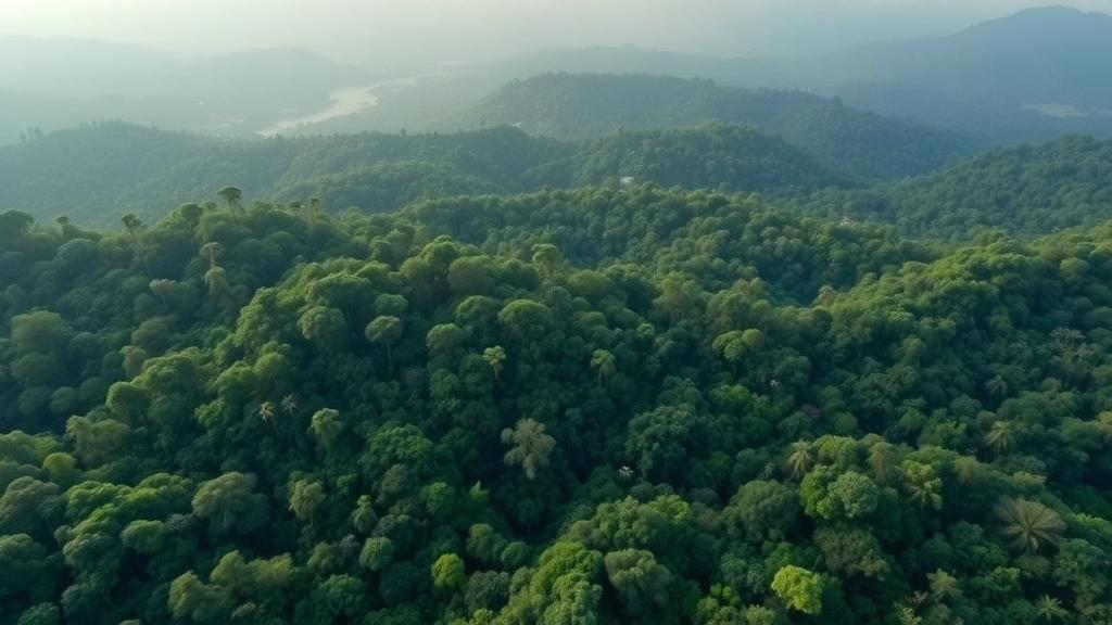
Laser scanning has become one of the most transformative technologies in tropical forest science. Known widely as Lidar, short for light detection and ranging, the technique works by firing pulses of laser light from aircraft, drones, or ground-based instruments toward the forest and measuring the time it takes for the reflected light to return. Because some of those pulses slip through gaps in the dense canopy and bounce off trunks, branches, and the forest floor, researchers can reconstruct the three-dimensional structure of a forest in extraordinary detail without ever setting foot beneath the trees. In a matter of flights, a landscape that once took months of arduous fieldwork to characterize can be rendered as a high-resolution digital twin, complete with canopy height, biomass estimates, and the faint traces of ancient settlements hidden under centuries of vegetation. This observational power has reshaped ecology, archaeology, conservation planning, and climate science, and its adoption continues to accelerate across the tropics.
Yet a new commentary published in Nature Ecology & Evolution by an international team of researchers argues that this revolution in visibility carries costs that the scientific community has largely failed to confront. Led by Gabriel Hes of the University of Toulouse and corresponding author Patrick Roberts, director of the Department of Coevolution of Land Use and Urbanisation at the Max Planck Institute of Geoanthropology, the paper contends that remote sensing research has too often been framed as a purely technical exercise in support of more efficient management and observation. Mapping, the authors insist, is never only a technical practice. Decisions about what is revealed, how it is revealed, and where the scanning takes place are inherently ethical and political, with consequences that can fall hardest on the very communities who live in and depend on the forests being scanned.
The central concern is that high-resolution mapping can strip away what have long functioned as cultural refuges against dominant powers. Dense forest has historically shielded Indigenous peoples and marginalized groups from state surveillance, colonial incursion, and resource extraction. When an external research team produces a centimeter-scale digital model of a forest understory, it does not merely document trees. It can reveal the locations of settlements, gardens, sacred sites, and resources that communities may not have consented to expose, and once that data exists it can circulate in ways the scanned communities cannot control. Governments, corporations, or armed actors may gain access to information that facilitates dispossession, even when the original researchers intended their work to serve conservation or science.
To organize these concerns, the authors group the ethical dimensions of tropical forest remote sensing into three broad areas. The first concerns knowledge, access, and control: who decides when to map, why the mapping occurs, and who controls the resulting data. In much of current practice, those decisions are made by universities, agencies, and funders in wealthy countries, while the people whose territories are scanned may learn of the projects only after the fact, if at all. The second area addresses population rights, exposure, and dispossession, asking how remotely sensed data might be used to expose communities, marginalized groups, or resources targeted for extraction. The third, and perhaps least examined, area concerns the material costs of seeing itself, including the climatic and environmental footprint of the aircraft, drones, sensors, and computing infrastructure that remote sensing depends upon, impacts that can ironically contribute to the very environmental degradation the technology is deployed to prevent.
Hes frames the problem as a challenge to a slogan that recurs throughout conservation and development discourse. Mapping is frequently promoted as being for the greater good, yet the greater good is rarely defined. Whose greater good, the authors ask, is being served when a forest is scanned, and are forest mapping technologies reinforcing existing imbalances in knowledge production, political power, and environmental impacts? They urge colleagues to reflect on the ethical costs of their methods and to consider the potential intersectional impacts of high-resolution mapping, examining how consequences may differ along lines of race, age, gender, wealth, and class within affected communities. A mapping campaign that benefits an international carbon market, for example, may simultaneously restrict the land-use flexibility of women who gather forest products or of Indigenous groups whose tenure claims are not formally recognized.
The commentary is careful to acknowledge the genuine value of remote sensing rather than dismissing it. Lidar has enabled remarkable scientific advances, from quantifying carbon stocks across millions of hectares to revealing the scale of pre-Columbian urbanism in the Amazon, and it has been used by local communities themselves to safeguard their territories and rights. Community-led mapping projects have leveraged the same technology to document land use, strengthen legal claims, and monitor illegal logging and mining. Roberts emphasizes that the authors are not arguing remote sensing is inherently bad. The point, rather, is that scientists should consider the varied ethical dimensions of their research whether they carry out mapping at local, regional, or global scales, and that these considerations should be integral to research planning rather than an afterthought once data has already been collected.
Part of the problem, the paper suggests, is structural. Ethical discussions about remote sensing have occurred within individual disciplines, but they have tended to focus on technicalities of research practice and data presentation, such as resolution standards, processing pipelines, and visualization choices, rather than on the more fundamental question of whether and under what conditions to map at all. A journal may require that archaeological site locations be blurred in published figures, but that safeguard does little if the raw point clouds, flight plans, and derived products remain accessible to parties whose interests conflict with those of local residents. Data governance, consent, benefit sharing, and the political economy of who commissions and pays for scans are questions that fall between the cracks of disciplinary ethics boards, which are typically designed around human-subjects research rather than landscape-scale observation.
The material footprint of the technology deserves particular attention, the authors argue, because it is so often assumed away. While a single drone flight may seem trivial, large-scale campaigns rely on crewed aircraft burning fuel over remote regions, on repeated monitoring flights that multiply emissions over time, and on energy-intensive data processing and storage in data centers with their own water and carbon costs. When the stated purpose of scanning a forest is to support climate mitigation or biodiversity protection, the authors contend that researchers have a responsibility to account for the climatic and environmental impacts of the act of seeing itself, and to weigh whether those impacts are justified by the benefits the mapping will actually deliver, and to whom.
To move from critique to practice, the paper concludes with a framework intended to help researchers decide when mapping is inappropriate, and to guide the design of projects that proceed. The framework prompts scientists to interrogate the purpose of a proposed scan, the consent and participation of affected communities, the control and accessibility of the resulting data, the distribution of benefits and risks, and the environmental costs of the campaign. By reframing environmental science as an asset for transformative change rather than a neutral generator of data, the authors hope these considerations will ensure that tropical forest mapping best serves the needs of those impacted most by the current global ecological crisis. As Lidar becomes cheaper, more portable, and more ubiquitous, the window for embedding such reflection into standard practice is open now, and the paper makes the case that the scientific community should walk through it before the next flight takes off.
Subject of Research: The ethical and social implications of Lidar remote sensing in tropical forest research
Article Title: The Local Costs of Remote Sensing: Examining the Ethics of Laser Scanning in Tropical Forests
Article References: The Local Costs of Remote Sensing: Examining the Ethics of Laser Scanning in Tropical Forests. (n.d.). Original publication
Image Credits: AI Generated
DOI: Not provided
Keywords: Lidar, remote sensing, tropical forests, research ethics, Indigenous rights, data governance, conservation, Max Planck Institute of Geoanthropology, Nature Ecology & Evolution, environmental justice, mapping, dispossession
Cite Scienmag News
Courtney Benton. (October 6, 2026). Lidar’s Hidden Price Tag: Why Mapping Tropical Forests Raises Hard Ethical Questions. Scienmag. https://scienmag.com/lidars-hidden-price-tag-why-mapping-tropical-forests-raises-hard-ethical-questions/
Courtney Benton. "Lidar’s Hidden Price Tag: Why Mapping Tropical Forests Raises Hard Ethical Questions." Scienmag, 6 October 2026, https://scienmag.com/lidars-hidden-price-tag-why-mapping-tropical-forests-raises-hard-ethical-questions/. Accessed 6 October 2026.
Courtney Benton. "Lidar’s Hidden Price Tag: Why Mapping Tropical Forests Raises Hard Ethical Questions." Scienmag. October 6, 2026. https://scienmag.com/lidars-hidden-price-tag-why-mapping-tropical-forests-raises-hard-ethical-questions/


