

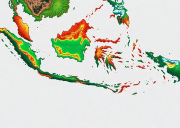
AI Maps Hidden Water Loss and Carbon Emissions Across Indonesian Tropical Peatland
Researchers used machine learning and dense field data to map groundwater levels and carbon dioxide emissions at high resolution across ...
Researchers used machine learning and dense field data to map groundwater levels and carbon dioxide emissions at high resolution across ...
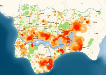
A GIS and analytical hierarchy process study of Ilorin, Nigeria, has mapped flood susceptibility across the entire metropolis and found ...
Researchers in Chongqing have developed a wavelet-guided deep learning framework that coordinates frequency-domain and spatial cues to sharply localize changes ...
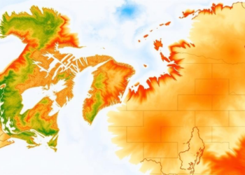
A systematic evaluation of six major gridded evapotranspiration datasets against ten high-latitude sites reveals that their accuracy collapses during the ...
ESA's FLEX satellite, launching on 15 September 2026 with key support from Forschungszentrum Jülich, will for the first time map ...
A new study uses satellite-detected solar-induced chlorophyll fluorescence to map reference evapotranspiration across China and shows that relative humidity, not ...
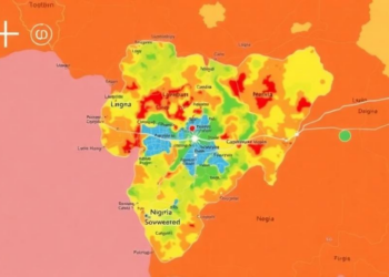
Researchers in Nigeria combined satellite data with a structured expert-weighting method to map flood susceptibility across Makurdi, finding that over ...

A new joint factsheet from the Horizon Europe projects FORSAID, CERBERUS and STELLA outlines how AI, remote sensing and citizen ...
A new study quantifies for the first time how the El Niño–Southern Oscillation and the North Sea–Caspian Pattern drive the ...
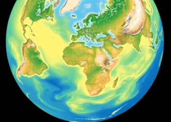
Researchers have built a global dataset of realistic surface albedo values for 22 land cover types, revealing that simplified methods ...


Embark on a thrilling journey of discovery with Scienmag.com—your ultimate source for cutting-edge breakthroughs. Immerse yourself in a world where curiosity knows no limits and tomorrow’s possibilities become today’s reality!