

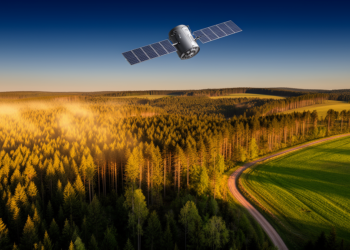
Satellites Take the Guesswork Out of Counting Europe’s Timber Growth
Researchers have developed a bottom-up method that uses free satellite data to map forest timber growth at 20-metre resolution, outperforming ...
Researchers have developed a bottom-up method that uses free satellite data to map forest timber growth at 20-metre resolution, outperforming ...
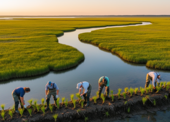
A new spatial decision framework integrating coastline fragmentation, stability, and ecological carrying capacity identifies priority restoration zones along China's Shandong ...
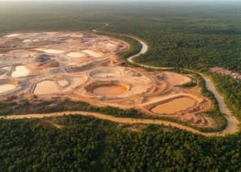
A multi-temporal remote sensing study quantifies how gold mining transformed land cover, vegetation health, and soil vulnerability in Kintinian, Guinea, ...
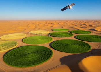
Researchers showed that simple curve-based rules applied to freely available Sentinel-2 and Sentinel-1 satellite data can accurately retrieve five key ...
A new satellite-based analysis reveals that China's declining air pollution has eroded a hidden aerosol-driven subsidy to vegetation productivity, with ...
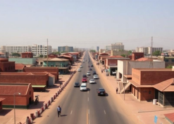
A seven-decade geospatial analysis shows Kano's built-up area grew nearly thirteenfold between 1950 and 2020, with transportation corridors, not formal ...
High-resolution satellite imagery reveals that tree cover on farmland in four districts of eastern Afghanistan expanded by about 36 percent ...
A three-sensor comparison over Lahore shows the PRISMA hyperspectral satellite dramatically improves classification of transitional urban-density classes, while confirming that ...
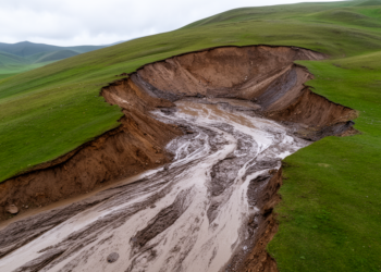
New research shows that tiny areas of abrupt permafrost thaw on the Tibetan Plateau deliver four times more sediment to ...

A 24-year satellite analysis of northwestern Yunnan reveals that apparent vegetation recovery conceals highly unstable growth trajectories, with rising human ...


Embark on a thrilling journey of discovery with Scienmag.com—your ultimate source for cutting-edge breakthroughs. Immerse yourself in a world where curiosity knows no limits and tomorrow’s possibilities become today’s reality!