

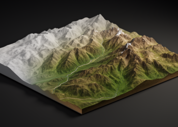
Diffusion model refines coarse elevation data into sharper terrain maps
A new conditional diffusion model called DSR-STRDiff reconstructs high-resolution elevation data from coarse inputs, reporting the best metrics among compared ...
A new conditional diffusion model called DSR-STRDiff reconstructs high-resolution elevation data from coarse inputs, reporting the best metrics among compared ...
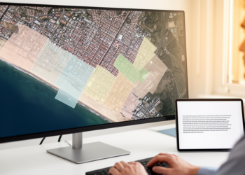
ConceptSeg, a new open-vocabulary segmentation framework, lets analysts outline satellite and aerial imagery features using plain text descriptions, outperforming same-regime ...
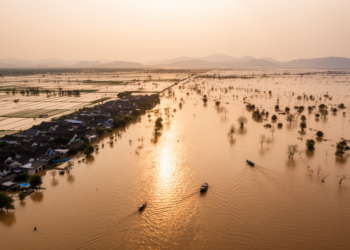
A remote sensing study of five floods between 2000 and 2020 finds that inundation expansion, not population redistribution, drove rising ...

A four-decade Landsat analysis of Gauteng Province shows rising urban heat island intensity, more frequent heatwaves, and growing thermal stress ...
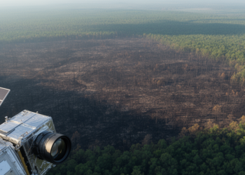
A study of 9,129 North American wildfires finds that radar delivers the fastest post-fire satellite imagery while multispectral sensors map ...

A four-stage hybrid framework combining convolutional spectral compression, a Transformer encoder, and U-Net spatial extraction reports 99.85% overall accuracy on ...

A remote laser system measured benzene concentrations of 2.23 to 3.17 ppm and fluxes of 6.18 to 10.33 kg per ...

Researchers developed an object-centered laser scanning and meshing protocol that produces sub-millimeter 3D digital models of individual wildland fuel particles ...
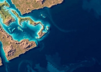
A new study combined Sentinel-2 imagery, the Stumpf band ratio algorithm, and the Allen Coral Atlas to map shallow-water bathymetry ...
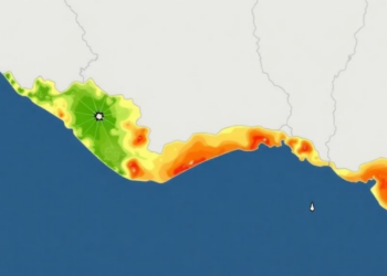
A GIS-based multi-criteria decision analysis framework maps physical flood vulnerability across Alappuzha District, Kerala, and its predictions align strongly with ...


Embark on a thrilling journey of discovery with Scienmag.com—your ultimate source for cutting-edge breakthroughs. Immerse yourself in a world where curiosity knows no limits and tomorrow’s possibilities become today’s reality!