

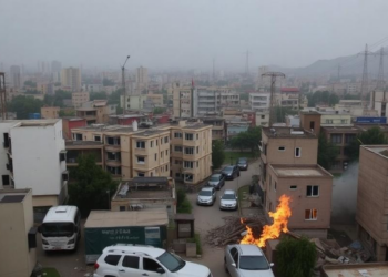
Kabul’s Hidden Crisis: Four Out of Five City Zones Face Three or More Disasters at Once
A new geospatial study finds that about 80 percent of Kabul is exposed to three or more overlapping environmental hazards, ...
A new geospatial study finds that about 80 percent of Kabul is exposed to three or more overlapping environmental hazards, ...

A 32-year satellite study combining remote sensing indices and multivariate statistics shows high-risk land degradation in India's Chambal region has ...
Researchers have developed RL-Axial, a segmentation framework that uses reinforcement learning to decide for each image patch whether to apply ...
A machine learning analysis of 30,397 geomorphology papers published between 1975 and 2025 reveals that fluvial research and modeling dominate ...
New laboratory measurements of light scattering from graphite powders of different grain sizes reveal crossover behavior in reflectance curves, providing ...
Satellite records show Port-au-Prince's built-up area more than quadrupled between 2015 and 2025, converting the vegetated slopes that regulate runoff ...
A comprehensive new review finds that bioremediation combined with machine-learning-enhanced remote sensing offers the most sustainable path for detecting and ...
A three-decade Landsat analysis of Ara city, India, shows urban expansion significantly eroding vegetation and wetland health while reshaping the ...
A sweeping review of 235 studies argues that hydrological processes, not just geomorphology, control whether landslide dams endure for centuries ...
A two-decade satellite analysis of Ibadan's peri-urban corridor reveals that urban expansion follows a predictable sequence from vegetation to bare ...

Embark on a thrilling journey of discovery with Scienmag.com—your ultimate source for cutting-edge breakthroughs. Immerse yourself in a world where curiosity knows no limits and tomorrow’s possibilities become today’s reality!