
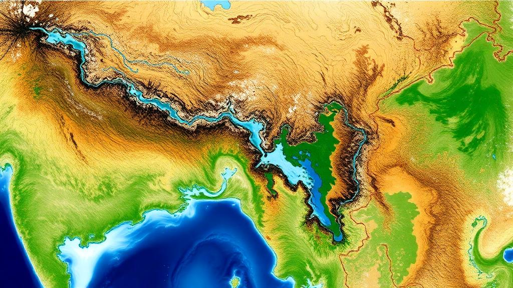
The Brahmaputra River basin, one of the largest river basins in the world, is losing land water at a striking rate. A new study published in Hydrology and Earth System Sciences reports that, after assimilating satellite observations of terrestrial water storage and surface soil moisture into a hydrological model, the basin shows a significant decline of 70.9 gigatons of land water per decade over 2004–2015.
The study, led by Leire Retegui-Schiettekatte of Aalborg University with colleagues from the University of California, Berkeley, University College London, DHI and the University of Bristol, tackles a long-standing problem in large-scale hydrology. State-of-the-art hydrological models struggle to capture the complex storage dynamics of basins like the Brahmaputra, where water demand is rising and flooding, glacier melt and groundwater depletion threaten water security. Satellite observations could fill the gap, but each product has limits: GRACE gravity measurements resolve terrestrial water storage only at coarse spatial resolution, while surface soil moisture products sense just the first few centimeters of soil.
To combine the strengths of models and satellites, the researchers used an ensemble-based sequential data assimilation framework. They integrated daily terrestrial water storage derived from the daily GRACE product ITSG-2018 and daily surface soil moisture from the European Space Agency Climate Change Initiative Combined product into the World Wide Water Resources Assessment model, W3RA, run at roughly 10 kilometer resolution with a daily timestep. Because both observation types were available daily, the team avoided the temporal mismatches that force earlier studies to rely on complex multi-step assimilation schemes.
The central methodological innovation is a new tuning strategy called model space mixed covariance localization. In ensemble data assimilation, spurious correlations from limited ensemble sizes can spread observation updates to the wrong variables or places. Previous approaches damp these correlations in observation space, weighting observations by their distance to model grid cells. The new approach instead applies localization directly to the model’s own covariance matrix, using a sharper localization radius of 0.5 degrees for surface soil moisture and a broader 10 degree radius for groundwater, reflecting their different spatial variability.
Comparisons against three existing approaches showed why this matters. Without tuning, surface soil moisture observations, which are more numerous and carry lower uncertainties than the sub-basin averaged terrestrial water storage values, dominated the updates and injected unrealistic spikes into modeled water storage. Uncertainty adjustment offered only a compromise, improving one variable at the expense of the other. Observation space localization performed well but allowed terrestrial water storage observations to impose spurious decadal negative trends on soil moisture estimates in regions without soil moisture observations, such as the Himalayan mountains. The new model space approach was the only one of the four tested that effectively suppressed this cross-variable interference along the vertical storage profile.
Validation against independent data supported the improvement. Correlations between modeled terrestrial water storage and the Standardized Precipitation Evapotranspiration Index rose from values as low as 0.13 and −0.25 in the untuned open-loop model to 0.74 and 0.79 in the East and West sub-basins, and from 0.55 to 0.82 in the South sub-basin. Against in situ groundwater level observations from 263 wells in Bangladesh, the assimilation raised the inter-annual correlation with groundwater storage from 0.43 to 0.71 and introduced a negative trend for 2004–2014 that the observations clearly show but the original model missed. The authors note that the comparisons validate the dynamics, not the magnitude of trends, because of scale uncertainties between modeled and observed groundwater data.
Surface soil moisture estimates, which could not be validated against in situ data because none are openly available in the region, were compared instead with the WaterGAP global hydrology model. After assimilation, the modeled soil moisture showed a phase shift, saturating later in the season and decaying more slowly after the monsoon, bringing it closer to WaterGAP. The largest gains appeared in steep mountain terrain, where correlations with WaterGAP improved by up to 0.3 correlation points, suggesting the satellite soil moisture observations help compensate for weaknesses of the base model in topographically complex areas.
The improved estimates also exposed side effects. Although river water storage was not directly updated during assimilation, the negative trend introduced into groundwater propagated into river storage through baseflow, reducing the Nash-Sutcliffe efficiency against in situ river water levels from 0.84 and 0.83 to 0.75 and 0.74 at two gauging sites. Detrended comparisons showed the assimilation had little influence on sub-annual river dynamics, and the authors suggest that directly assimilating river altimetry might better serve surface water estimation in this basin.
The findings arrive against a backdrop of mounting pressure on the basin. The Brahmaputra drains about 530,000 square kilometers across China, India, Bangladesh and Bhutan, with monsoon rains from June to September delivering 60 to 70 percent of annual rainfall. Glaciers and snowmelt contribute roughly 20 to 25 percent of river discharge, and glacier retreat of about −0.5 meters of water equivalent per year has been reported for 2000–2018/2019. Groundwater declines of −2 to −5 centimeters per year from agricultural abstraction have been documented in northwestern Bangladesh and around Dhaka, driven partly by dry-season irrigation demands that groundwater-fed pumping increasingly supplies.
The authors caution that the reported land water decline carries uncertainty at least as large as that of the glacier retreat estimates, up to ±18.9 gigatons per decade, and that the drivers of the land water trend, whether natural climate variability or human activity, remain to be explored in future work. The team plans to extend the analysis across the full GRACE and GRACE-FO record from 2002 to 2025 and to investigate the role of land water storage in flood generation. The new assimilation framework, though computationally demanding, can in principle be applied to any hydrological model, offering a route to more trustworthy water storage estimates in poorly gauged basins worldwide.
Subject of Research: Multivariate data assimilation of satellite terrestrial water storage and surface soil moisture observations into a hydrological model of the Brahmaputra River basin.
Article Title: Enhancing hydrological representation of the Brahmaputra basin through terrestrial water storage and surface soil moisture Data Assimilation
Article References: Retegui-Schiettekatte, L., Girotto, M., Schumacher, M., Shamsudduha, M., Madsen, H., & Forootan, E. (2026). Enhancing hydrological representation of the Brahmaputra basin through terrestrial water storage and surface soil moisture Data Assimilation. Hydrology and Earth System Sciences, 30(20), 6623-6659. https://doi.org/10.5194/hess-30-6623-2026
Image Credits: AI Generated
DOI: 10.5194/hess-30-6623-2026
Keywords: Brahmaputra, data assimilation, GRACE, soil moisture, groundwater, hydrology, W3RA, water storage, glacier retreat, remote sensing, Kalman filter, South Asia
Cite Scienmag News
Violet Maxwell. (October 29, 2026). Satellite Data Assimilation Reveals Sharp Land Water Loss in the Brahmaputra Basin. Scienmag. https://scienmag.com/satellite-data-assimilation-reveals-sharp-land-water-loss-in-the-brahmaputra-basin/
Violet Maxwell. "Satellite Data Assimilation Reveals Sharp Land Water Loss in the Brahmaputra Basin." Scienmag, 29 October 2026, https://scienmag.com/satellite-data-assimilation-reveals-sharp-land-water-loss-in-the-brahmaputra-basin/. Accessed 4 November 2026.
Violet Maxwell. "Satellite Data Assimilation Reveals Sharp Land Water Loss in the Brahmaputra Basin." Scienmag. October 29, 2026. https://scienmag.com/satellite-data-assimilation-reveals-sharp-land-water-loss-in-the-brahmaputra-basin/