

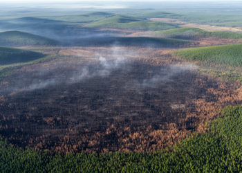
Satellite Data Reveals How Long Wildfire Scars Really Linger on the Land
A new robust statistical framework applied to Landsat data from interior Alaska shows that most burn scars fade spectrally within ...
A new robust statistical framework applied to Landsat data from interior Alaska shows that most burn scars fade spectrally within ...
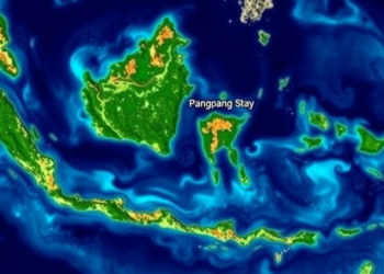
A new study shows that Sentinel-2 satellite NDVI can estimate mangrove aboveground biomass and carbon stocks in Indonesia's Pangpang Bay, ...
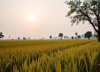
A new study links satellite-derived vegetation and soil moisture anomalies with farmer surveys across four Nigerian states, showing that these ...
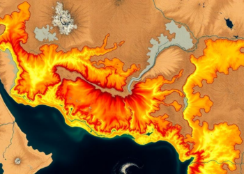
A new RUSLE-GIS study maps soil erosion across India's drought-prone Jonk River Basin with 97 percent accuracy, identifying steep, unprotected ...

A decade-long ecological niche modeling study finds that human population density, far more than climate, determines where hantavirus-caused hemorrhagic fever ...
A study of over 181,000 Medicare beneficiaries in Miami-Dade County shows that the link between satellite-measured neighborhood greenness and Alzheimer's ...

A multi-year Texas study combining drone imaging, machine learning, and explainable AI shows that wheat yield is best predicted from ...

A new SARIMA-based forecasting framework using two decades of MODIS satellite data projects that India's mangrove vegetation will continue a ...
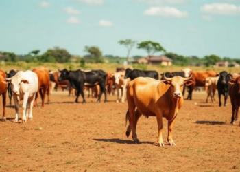
A survey of 219 communal cattle farming households in Lupane District, Zimbabwe, identifies affordability, awareness, and institutional trust as the ...

A study of 850 older adults in Nanjing, China, finds that eye-level vegetation and green views from home windows are ...


Embark on a thrilling journey of discovery with Scienmag.com—your ultimate source for cutting-edge breakthroughs. Immerse yourself in a world where curiosity knows no limits and tomorrow’s possibilities become today’s reality!