

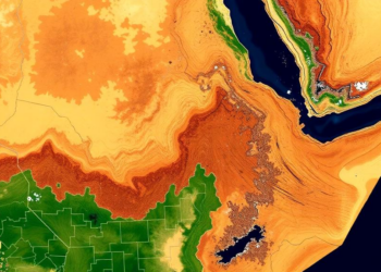
Satellites Reveal How Drought Gripped a Farming Heartland in Northeast Ethiopia
A new satellite-based study combining MODIS, SMAP and CHIRPS data shows that drought affected more than 65 percent of Guba ...
A new satellite-based study combining MODIS, SMAP and CHIRPS data shows that drought affected more than 65 percent of Guba ...
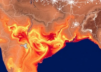
A 30-year Landsat analysis shows Guwahati's mean land surface temperature rose from 28.27 to 32.07 degrees Celsius as urban expansion ...
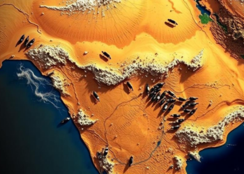
A satellite and GPS tracking study of a Gir cattle migration corridor in central India finds that dry, hot forage, ...

A four-decade satellite analysis of Brazil's Cananéia-Iguape mangroves shows regional warming of about 0.20 degrees Celsius per decade and reveals ...
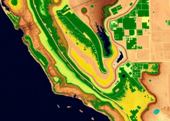
A new PLOS Water study combines Sentinel-2 satellite data, OpenET evapotranspiration estimates, and unsupervised machine learning to reveal 13 distinct ...

A two-year Finnish field campaign combining sap-flow sensors, eddy-covariance towers and drone imaging shows that selectively thinned Norway spruce stands ...

A thirty-year satellite and field study of Bangladesh's Sylhet Division shows settlement expansion of nearly 192 percent, a quarter of ...

A year-long trapping study in Haiti's Ouest Department found that human population density, temperature, and vegetation indices are the strongest ...

A thirty-year satellite analysis of Islamabad and Rawalpindi shows that urban expansion has widened land surface temperature extremes and intensified ...
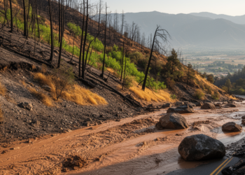
A four-year study of California's 2020 Lake Fire shows that post-fire debris flow risk swings dramatically between wet and dry ...


Embark on a thrilling journey of discovery with Scienmag.com—your ultimate source for cutting-edge breakthroughs. Immerse yourself in a world where curiosity knows no limits and tomorrow’s possibilities become today’s reality!