Every year, as the dry season tightens its grip on central India, herds of Gir cattle set out on long seasonal journeys between the scrublands of Madhya Pradesh and the plains of Uttar Pradesh. These migrations are among the oldest surviving forms of pastoral mobility on the subcontinent, yet the ecological conditions the animals actually encounter along the way have rarely been measured. A new study published in Environmental Monitoring and Assessment has now done exactly that, using satellite imagery and GPS tracking to build a continuous, route-wide picture of vegetation, moisture, and heat along one such corridor, and the results reveal a striking mismatch between what the landscape looks like from space and what it can actually offer a thirsty, heat-stressed animal.
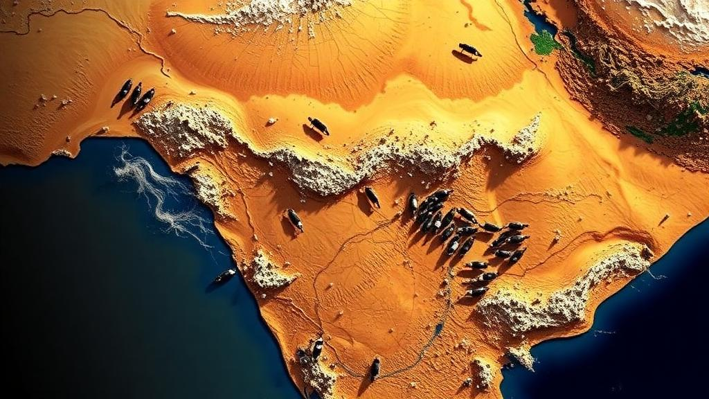
The research team, led by Divyanshu Singh Tomar of Rani Lakshmi Bai Central Agricultural University and the ICAR-National Dairy Research Institute, together with colleagues from Karnal and Jhansi, focused on a seasonal migration corridor running from the Goras region of Sheopur district in Madhya Pradesh northward to Aligarh in Uttar Pradesh. Rather than relying on anecdotal reports or scattered field visits, the researchers fitted a GPS collar to the lead animal of a migrating herd and recorded its actual path. They then buffered that route by 10 kilometers on either side, defining a grazing influence zone that captures the landscape the herd can realistically reach and use as it moves.
Within this zone, the team computed four widely used satellite indices at 2,372 sampling points spaced roughly half a kilometer apart, using pre-monsoon imagery from the Landsat-8 and Landsat-9 satellites. The Normalized Difference Vegetation Index, or NDVI, measures the greenness of the landscape by comparing how strongly vegetation reflects near-infrared light versus red light; healthy, leafy canopies reflect strongly in the near-infrared and absorb red light for photosynthesis. The Soil-Adjusted Vegetation Index, or SAVI, applies a correction that reduces the distorting influence of bare soil reflectance, which is particularly important in sparse, semi-arid scrubland where exposed ground can masquerade as weak vegetation. The Normalized Difference Moisture Index, or NDMI, exploits shortwave-infrared wavelengths to estimate the water content of vegetation and soils, while land surface temperature, or LST, was retrieved from the thermal bands of the Landsat sensors to quantify how hot the ground itself becomes during the dry season.
The technical centerpiece of the study was the combination of NDVI, NDMI, and LST into a single Weighted Overlay Index, a composite measure designed in the tradition of GIS-based multi-criteria analysis. SAVI was deliberately retained as a soil-corrected cross-check on NDVI rather than as a separate input, a methodological choice that acknowledges the known pitfalls of interpreting greenness in open rangeland. By weighting the three primary indicators together, the researchers could distinguish between landscapes that are merely sparse and landscapes that are genuinely hostile, a distinction that matters enormously for animal welfare and forage planning.
The findings paint a nuanced picture. Greenness along the corridor was moderate for most of the route, with a mean NDVI of 0.32, and high vegetation stress was recorded at 24.4 percent of the sampling points. On its own, that suggests a landscape that is neither lush nor barren. The clearer constraints emerged when the team examined moisture and heat. About 69.3 percent of the route showed a moisture deficit on the NDMI, meaning that forage along most of the corridor carried too little water to support grazing animals comfortably. Meanwhile, surface temperatures remained punishingly high through the dry season, with a mean land surface temperature of 51 degrees Celsius, a figure that far exceeds the thermal comfort thresholds known to induce heat load in cattle.
When these factors were combined in the Weighted Overlay Index, roughly 46 percent of the corridor fell into the high or very high stress classes. The spatial pattern was far from random. The most severe stress was concentrated in the southern scrubland portion of the route, where sparse vegetation, depleted moisture, and extreme surface heating compound one another. In contrast, the irrigated and riverine tracts in the north formed clear relief zones, pockets of comparatively cool, moist forage where migrating herds can recover. Because the migration is an out-and-back journey, these conditions followed a consistent south-to-north gradient that held on both legs of the trip, meaning herders face the harshest stretch of the corridor twice in each cycle.
A crucial strength of the study lies in its validation strategy. The index-based reading of the corridor was checked against an independent land-cover product, the ESA WorldCover 10-meter dataset, and against high-resolution imagery, providing confidence that the composite stress map reflects real landscape conditions rather than artifacts of a single sensor or algorithm. This kind of cross-verification is essential in semi-arid environments, where soil background effects, atmospheric conditions, and the coarse temporal resolution of satellite passes can each introduce error. By anchoring the analysis to an actual GPS-recorded migration route rather than an assumed corridor, the researchers also ensured that the stress assessment corresponds to the landscape as the animals experience it, not as it appears on administrative maps.
The central conclusion is a reframing of the problem. The binding constraint along this corridor is not an absence of vegetation but the dry, hot condition of the forage that does exist. A landscape can appear adequately green on an NDVI map while still being functionally inhospitable, because moisture-depleted plants offer poor nutrition and extreme surface temperatures impose physiological heat load on the animals that must traverse them. Previous research on cattle thermal stress has shown that heat load reduces feed intake, milk yield, and reproductive performance, and can be lethal under extreme conditions, which makes the 51-degree mean surface temperatures recorded here a matter of animal welfare as much as ecology.
The methodological implications extend well beyond this single route. Pairing GPS tracking with multiple satellite indices, as this study does, provides a route-continuous basis for corridor-sensitive grazing and welfare management, something that point-based surveys or district-level statistics cannot deliver. For India’s pastoral systems, which remain an important way of using semi-arid rangelands and are increasingly discussed in the context of climate adaptation and biodiversity conservation, such tools could inform where to position water points, when to schedule movements, and which segments of a corridor most urgently need restoration or protected passage. The work was funded by the Ministry of Fisheries, Animal Husbandry and Dairying under the Rashtriya Gokul Mission, reflecting a policy interest in supporting indigenous cattle breeds like the Gir and the herding communities that maintain them.
As climate change intensifies drought and heat extremes across South Asia’s drylands, the ability to monitor migration corridors from orbit, at half-kilometer resolution and at low cost, may prove decisive for the future of pastoral mobility. This study demonstrates that the technology is ready: a single collared animal, a season of freely available Landsat imagery, and a carefully weighted composite index were enough to expose exactly where and why a centuries-old migration route is under stress. What herders have long known from experience, that the southern scrubland is the hard part of the journey, can now be seen, quantified, and managed from space.
Subject of Research: Remote sensing of vegetation and moisture stress along a seasonal cattle migration corridor in central India
Article Title: Remote sensing assessment of vegetation and moisture stress along a seasonal cattle migration corridor in central India
Article References: Remote sensing assessment of vegetation and moisture stress along a seasonal cattle migration corridor in central India. (n.d.). https://doi.org/10.1007/s10661-026-15922-w
Image Credits: AI Generated
DOI: 10.1007/s10661-026-15922-w
Keywords: pastoral migration, remote sensing, NDVI, NDMI, land surface temperature, GPS tracking, Gir cattle, semi-arid rangeland, Landsat, Weighted Overlay Index, central India, livestock welfare
Cite Scienmag News
William Thompson. (October 10, 2026). Satellites Reveal Dry, Scorching Forage Is the Real Bottleneck on India’s Cattle Migration Routes. Scienmag. https://scienmag.com/satellites-reveal-dry-scorching-forage-is-the-real-bottleneck-on-indias-cattle-migration-routes/
William Thompson. "Satellites Reveal Dry, Scorching Forage Is the Real Bottleneck on India’s Cattle Migration Routes." Scienmag, 10 October 2026, https://scienmag.com/satellites-reveal-dry-scorching-forage-is-the-real-bottleneck-on-indias-cattle-migration-routes/. Accessed 10 October 2026.
William Thompson. "Satellites Reveal Dry, Scorching Forage Is the Real Bottleneck on India’s Cattle Migration Routes." Scienmag. October 10, 2026. https://scienmag.com/satellites-reveal-dry-scorching-forage-is-the-real-bottleneck-on-indias-cattle-migration-routes/