

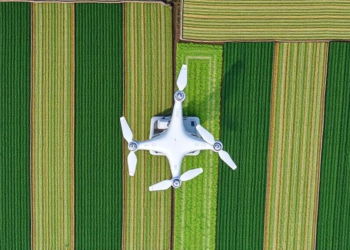
AI Turns Cheap RGB Drone Photos Into Multispectral Crop Scans
A new deep learning framework reconstructs invisible Red Edge and near-infrared bands from ordinary RGB drone imagery, bringing multispectral crop ...
A new deep learning framework reconstructs invisible Red Edge and near-infrared bands from ordinary RGB drone imagery, bringing multispectral crop ...
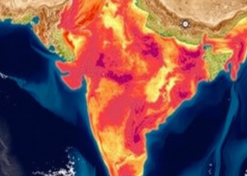
A district-level analysis of 471 Indian districts using satellite-derived MNDWI and NDVI indices shows that temperature anomalies significantly reduce both ...

A satellite-based analysis of Pakistan's 2022 and 2025 monsoon floods shows that the poorest communities suffer the greatest damage, recover ...
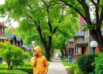
A UK Biobank study of 437,526 adults finds that greener residential surroundings are linked to lower epilepsy risk and longer ...
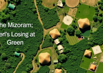
A two-decade Landsat analysis using image-specific NDVI thresholding reveals a net loss of 275 square kilometres of mapped vegetation in ...

A new study in northwestern Nigeria statistically tested whether Sentinel-2 satellite indices can substitute for ground-based resistivity surveys in assessing ...
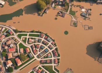
A three-decade Landsat analysis of Ara city, India, shows urban expansion significantly eroding vegetation and wetland health while reshaping the ...
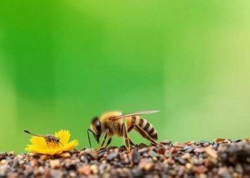
RFID-tagged stingless bees in Brazil returned to their colonies from up to 7.5 kilometers away, with vegetation vigor and moisture ...
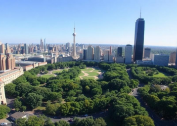
A satellite analysis of 456 green patches in Lucknow, India, shows that urban cooling rises with patch size up to ...
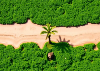
A two-decade machine-learning analysis of Landsat imagery shows vegetation cover in Malawi's Chia Lagoon catchment fell by 189 square kilometres ...


Embark on a thrilling journey of discovery with Scienmag.com—your ultimate source for cutting-edge breakthroughs. Immerse yourself in a world where curiosity knows no limits and tomorrow’s possibilities become today’s reality!